Invest 91L E Windwards,Comments,Sat Pics,Models Thread #2
Moderator: S2k Moderators
Forum rules

The posts in this forum are NOT official forecasts and should not be used as such. They are just the opinion of the poster and may or may not be backed by sound meteorological data. They are NOT endorsed by any professional institution or STORM2K. For official information, please refer to products from the National Hurricane Center and National Weather Service.

-
wxman57

- Moderator-Pro Met

- Posts: 23175
- Age: 68
- Joined: Sat Jun 21, 2003 8:06 pm
- Location: Houston, TX (southwest)
bvigal wrote:Hmm? Various agencies and commercial met offices continue to call this a wave. However, the National Hurricane Center does not include a tropical wave at location of 91L. They dropped the wave from their text descriptions and maps early this morning. Per 2pm TWD - one wave at 23W, one at 67W.
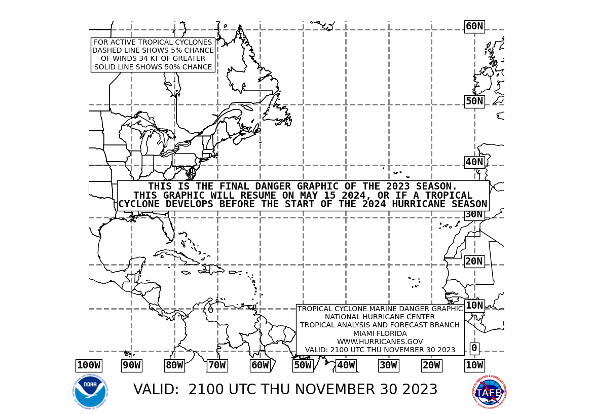
New 2100z danger map is out, still showing possible development area from 91L. http://www.nhc.noaa.gov/tafb/danger_atl_21bw.gif
It began as a tropical wave but appears to have a low-level circulation center now, so it's a tropical low. The one thing keeping it from being called Tropical Depression Four is the fact that it can't maintain convection over the center.
0 likes
-
cycloneye

- Admin

- Posts: 149505
- Age: 69
- Joined: Thu Oct 10, 2002 10:54 am
- Location: San Juan, Puerto Rico
Normandy wrote:Is the center going to pass over that bouy?
Probably south of the bouy.
0 likes
Visit the Caribbean-Central America Weather Thread where you can find at first post web cams,radars
and observations from Caribbean basin members Click Here
and observations from Caribbean basin members Click Here
-
AnnularCane

- S2K Supporter

- Posts: 2962
- Joined: Thu Jun 08, 2006 9:18 am
- Location: Wytheville, VA
-
Bailey1777
- S2K Supporter
- Posts: 962
- Joined: Mon Jul 31, 2006 6:23 pm
- Location: Houston, Texas
-
bvigal

- S2K Supporter
- Posts: 2276
- Joined: Sun Jul 24, 2005 8:49 am
- Location: British Virgin Islands
- Contact:
SouthFloridawx wrote:bvigal wrote:Hmm? Various agencies and commercial met offices continue to call this a wave. However, the National Hurricane Center does not include a tropical wave at location of 91L. They dropped the wave from their text descriptions and maps early this morning. Per 2pm TWD - one wave at 23W, one at 67W.
New 2100z danger map is out, still showing possible development area from 91L. http://www.nhc.noaa.gov/tafb/danger_atl_21bw.gif
Do you have any link?
Yes, TWD's of 2am, 8am, 2pm, plus surface maps of 6z, 12z
http://www.nhc.noaa.gov/tafb/ATSA_06Z.gif
http://www.nhc.noaa.gov/tafb/ATSA_12Z.gif
"...SPECIAL FEATURE...
A 1009 MB ATLANTIC OCEAN LOW PRESSURE CENTER IS NEAR 2N40W... OR ABOUT 1100 NM EAST OF THE SOUTHERN WINDWARD ISLANDS... MOVING WEST NEAR 15 KT. ALTHOUGH THUNDERSTORM ACTIVITY IS CURRENTLY LIMITED... ENVIRONMENTAL CONDITIONS APPEAR SOMEWHAT FAVORABLE FOR FURTHER DEVELOPMENT AND A TROPICAL DEPRESSION COULD FORM LATER TODAY OR TOMORROW.
(no wave mentioned)
...TROPICAL WAVES...
AN ATLANTIC OCEAN TROPICAL WAVE IS ALONG 23W SOUTH OF 19N MOVING WEST 10 TO 15 KT. THE EXACT POSITION OF THIS WAVE IS BECOMING DIFFICULT TO LOCATE AS IT BECOMES SUPERIMPOSED UPON THE MONSOON TROUGH...THOUGH BROAD CYCLONIC CURVATURE IS STILL OBSERVED ABOUT THE AXIS. THE SURFACE LOW THAT WAS PREVIOUSLY ANALYZED ALONG THE WAVE IS NO LONGER EVIDENT FROM THIS MORNINGS SATELLITE ANIMATIONS. HOWEVER...A SMALL SWIRL OF LOW CLOUDS WAS NOTED ON VISIBLE IMAGERY ABOUT 230NM W OF THE AXIS NEAR 14N19W. THIS SMALL VORTICITY MAXIMUM SEEMS TO BE WEAKENING SINCE 12Z THOUGH. SHOWER AND TSTM ACTIVITY IS MOSTLY ISOLATED WITHIN 250NM OF EITHER SIDE OF THE AXIS...WITH A SMALL PATCH OF MODERATE CONVECTION NOTED FROM 7N TO 10N BETWEEN 23W AND 27W. THIS MAY BE MORE ASSOCIATED WITH THE ITCZ THOUGH.
AN EASTERN CARIBBEAN SEA TROPICAL WAVE IS ALONG 67W/68W SOUTH OF 23N MOVING WEST 15 TO 20 KT. SCATTERED MODERATE/ISOLATED STRONG CONVECTION IS EXTENDING NORTH FROM PUERTO RICO...THE MONA PASSAGE...AND ERN HISPANIOLA FROM 16N TO 24N BETWEEN 66W AND 72W. MUCH OF THE WESTERN PORTION OF THIS WAVE THAT LIES IN THE CARIBBEAN IS SHOWER/TSTM FREE DUE TO EXTENSIVE DRY AIR AND DENSE
SAHARAN DUST IN THE VICINITY."
0 likes
-
george_r_1961

- S2K Supporter
- Posts: 3171
- Age: 64
- Joined: Sat Oct 12, 2002 9:14 pm
- Location: Carbondale, Pennsylvania
-
Bailey1777
- S2K Supporter
- Posts: 962
- Joined: Mon Jul 31, 2006 6:23 pm
- Location: Houston, Texas
-
bvigal
- S2K Supporter
- Posts: 2276
- Joined: Sun Jul 24, 2005 8:49 am
- Location: British Virgin Islands
- Contact:
41041 - glad it's out there for us to watch! Someone here posted this 5-day plot of the buoy a while back, which I really like. (sorry I can't remember who it was!) Maybe someone else would like to see it graphically, too:
http://www.ndbc.noaa.gov/show_plot.php? ... wdpr&uom=E
http://www.ndbc.noaa.gov/show_plot.php? ... wdpr&uom=E
0 likes
-
miamicanes177
- Category 5

- Posts: 1131
- Joined: Tue Aug 01, 2006 10:53 pm
-
Extremeweatherguy

- Category 5
- Posts: 11095
- Joined: Mon Oct 10, 2005 8:13 pm
- Location: Florida
It's actually under only about 10-20 knots of shear.miamicanes177 wrote:It's under 20-30kts of shear right now. How is that favorable for development?
http://cimss.ssec.wisc.edu/tropic/real- ... g8shr.html
0 likes
-
SouthFloridawx

- S2K Supporter
- Posts: 8346
- Age: 47
- Joined: Tue Jul 26, 2005 1:16 am
- Location: Sarasota, FL
- Contact:
Can any pro-met field this question for me?
SouthFloridawx wrote:Derek Ortt wrote:I'm not seeing anywhere near the amount of low-level convergence that Chris had; thus, we cannot get vertical ascent.
Convection needs to fire soon over the center, or else it will be yet another Chris, except without the intensification
If it has had a low level circulation, why is it so imminent that convection must fire soon.. in order to get TC genesis?
How many low level circulations have we seen take a couple to 3 days to get going?
I imagine you are talking about the ULL that is moving SW near this invest.
We currently see this Upper Level low feature depicted by the GFS in the 00 hour of the 12Z run.
24 Hours
36 Hours
48 Hours
Does GFS have this feature Disapating or moving off to the North?
Also some people are saying how this feature isn't showing up on the Global models, GFS isn't really showing that upper level low.
Derek if you could help me understand this I would appriciate it. Thanks...


0 likes
-
miamicanes177
- Category 5
- Posts: 1131
- Joined: Tue Aug 01, 2006 10:53 pm
No, its directly under the 20kts and 30kts is breathing down its neck directly to the north. Have you not looked at it lately? It is getting sheared apart!
http://www.ssd.noaa.gov/goes/flt/t2/avn-l.jpg
http://www.ssd.noaa.gov/goes/flt/t2/avn-l.jpg
0 likes

-
Derek Ortt

-
Bailey1777
- S2K Supporter
- Posts: 962
- Joined: Mon Jul 31, 2006 6:23 pm
- Location: Houston, Texas
-
Derek Ortt
it is not shear that is the problem.
Its that there is very little low-level convergence. Without that, regardless as to how favorable the upper atmosphere is, you aren't having any development. I am thinking NHC means upper atmospheric conditions are favorable, which they now are, but overall, things seem hostile
Its that there is very little low-level convergence. Without that, regardless as to how favorable the upper atmosphere is, you aren't having any development. I am thinking NHC means upper atmospheric conditions are favorable, which they now are, but overall, things seem hostile
0 likes
-
Bailey1777
- S2K Supporter
- Posts: 962
- Joined: Mon Jul 31, 2006 6:23 pm
- Location: Houston, Texas
Who is online
Users browsing this forum: Iceresistance, MarioProtVI and 271 guests