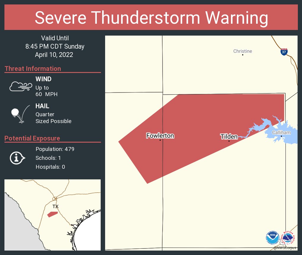
Monday with some bit time hail potential in TX, and a low end tornado threat

Moderator: S2k Moderators


cheezyWXguy wrote:Looking at the 18z nam and hrrr, I am still not convinced that the precip depiction (or lack thereof) is correct given the parameter space they depict for Monday and Tuesday. There is a window on both days in which capping is next to nothing under high instability. Monday has a better chance of going unrealized due to the aforementioned lack of forcing, but I intend to watch closely for any remnant boundaries that may sink south into the area from the convection in ok and ar later tonight. As for Tuesday, I am especially suspicious of a cap bust. Either capping needs to increase, or precip depiction does, but right now the output doesn’t make sense to me.
Weather Dude wrote:cheezyWXguy wrote:Looking at the 18z nam and hrrr, I am still not convinced that the precip depiction (or lack thereof) is correct given the parameter space they depict for Monday and Tuesday. There is a window on both days in which capping is next to nothing under high instability. Monday has a better chance of going unrealized due to the aforementioned lack of forcing, but I intend to watch closely for any remnant boundaries that may sink south into the area from the convection in ok and ar later tonight. As for Tuesday, I am especially suspicious of a cap bust. Either capping needs to increase, or precip depiction does, but right now the output doesn’t make sense to me.
Something about Tuesday just seems a bit off to me. I think the timing of the trough will be a bit more unfavorable than earlier forecast, I see a couple different scenarios here:
1) Total cap bust: I don't think this will happen, but it's still a possibility.
2) A few discrete cells are able to break the cap, leading to some isolated very large hail and tornado potential.
3) Timing of the trough continues to trend slower and we end up with an overnight linear slop fest. QLCS spins ups possible.
Right now I'm leaning towards 2. I think there will be storms, but I'm not seeing the big outbreak like a few of the analogues are showing. I honestly wouldn't even mind option 3 as that would likely bring a little more rain which is what we need the most right now.
Still gotta watch it of course, there's been several events where only 1 storm gets going and becomes a destructive event. This shouldn't be a non-event, but I'm not too concerned about anything crazy right now, despite the Day 3 enhanced risk.

Haris wrote:12z GFS has 40s for highs around day 8


Haris wrote:12z GFS has 40s for highs around day 8

Lagreeneyes03 wrote:Haris wrote:12z GFS has 40s for highs around day 8
That's just wrong...so wrong.

Return to “USA & Caribbean Weather”
Users browsing this forum: Cpv17, Google Adsense [Bot], Ralph's Weather and 103 guests