ATL: TROPICAL DEPRESSION BONNIE - DISCUSSION
Moderator: S2k Moderators


-
WacoWx
- Category 2

- Posts: 692
- Joined: Mon Dec 28, 2009 4:14 pm
- Location: NOT Waco, TX ----> Dallas, TX
Re: ATL : INVEST 97L - DISCUSSION
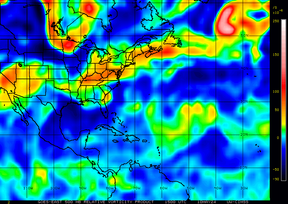
What am I looking for in that vorticity map tha would be conducive/not for development? Blue = conduceive? lil hep...lil hep nau!
0 likes
-
Ivanhater

- Storm2k Moderator

- Posts: 11221
- Age: 39
- Joined: Fri Jul 01, 2005 8:25 am
- Location: Pensacola
Re: ATL : INVEST 97L - DISCUSSION
Getting some strong winds with 97L
NOAA buoy 41043
Location - 21.0N 65.0W
Time (ADT)- 5:34 pm
WSPD - 32.8 kts (1-minute Wind Speed)
WDIR - ESE ( 119 deg true )
NOAA buoy 41043
Location - 21.0N 65.0W
Time (ADT)- 5:34 pm
WSPD - 32.8 kts (1-minute Wind Speed)
WDIR - ESE ( 119 deg true )
0 likes
Michael


Re: ATL : INVEST 97L - DISCUSSION
While it may be an MLC, the feature is actually very close to the radar site so the beam is not looking up as far as you would think. The feature is probably pretty close to the surface IMO. Overnight I think itll organize and probably require recon tom IMO.
0 likes
-
redfish1
- Tropical Storm

- Posts: 125
- Age: 45
- Joined: Thu Jun 17, 2010 9:24 pm
- Location: Port Arthur, Tx
Re: ATL : INVEST 97L - DISCUSSION
Ivanhater wrote:Getting some strong winds with 97L
NOAA buoy 41043
Location - 21.0N 65.0W
Time (ADT)- 5:34 pm
WSPD - 32.8 kts (1-minute Wind Speed)
WDIR - ESE ( 119 deg true )
is it possible to get an upgrade tonight???
0 likes
Re: ATL : INVEST 97L - DISCUSSION
The following post is NOT an official forecast and should not be used as such. It is just the opinion of the poster and may or may not be backed by sound meteorological data. It is NOT endorsed by any professional institution including storm2k.org. For Official Information please refer to the NHC and NWS products.
We have a rotation just north of San Juan PR. This system is developing a center.
*Edited by Ivanhater to include disclaimer
We have a rotation just north of San Juan PR. This system is developing a center.
*Edited by Ivanhater to include disclaimer
0 likes

Re: ATL : INVEST 97L - DISCUSSION
Normandy wrote:Overnight I think itll organize and probably require recon tom IMO.
I do agree with this point, I think providing it doesn't plunge into Hispaniola recon is going to be needed with this system tomorrow. Probably will go upto an orange risk as well I'd think.
0 likes
Personal Forecast Disclaimer:
The posts in this forum are NOT official forecast and should not be used as such. They are just the opinion of the poster and may or may not be backed by sound meteorological data. They are NOT endorsed by any professional institution or storm2k.org. For official information, please refer to the NHC and NWS products
The posts in this forum are NOT official forecast and should not be used as such. They are just the opinion of the poster and may or may not be backed by sound meteorological data. They are NOT endorsed by any professional institution or storm2k.org. For official information, please refer to the NHC and NWS products
-
cycloneye

- Admin

- Posts: 149585
- Age: 69
- Joined: Thu Oct 10, 2002 10:54 am
- Location: San Juan, Puerto Rico
Re: ATL : INVEST 97L - DISCUSSION
This is a special marine warning issued for the northern coastal waters of Puerto Rico.I highlighted the important part of it.
SPECIAL MARINE WARNING
AMZ710-192345-
/O.NEW.TJSJ.MA.W.0033.100719T2146Z-100719T2345Z/
BULLETIN - IMMEDIATE BROADCAST REQUESTED
SPECIAL MARINE WARNING
NATIONAL WEATHER SERVICE SAN JUAN PR
546 PM AST MON JUL 19 2010
THE NATIONAL WEATHER SERVICE IN SAN JUAN HAS ISSUED A
* SPECIAL MARINE WARNING FOR...
ATLANTIC WATERS OF PUERTO RICO AND USVI FROM 10 NM TO 19.5N...
* UNTIL 745 PM AST
* AT 537 PM AST...NATIONAL WEATHER SERVICE DOPPLER RADAR INDICATED A
LINE OF THUNDERSTORMS...PRODUCING STRONG WINDS 37 KNOTS OR GREATER
FROM 47 NM NORTH OF CABO SAN JUAN TO 35 NM NORTH OF CABO SAN
JUAN...MOVING WEST AT 15 KNOTS.
PRECAUTIONARY/PREPAREDNESS ACTIONS...
MARINERS CAN EXPECT GUSTY WINDS...HIGH WAVES...DANGEROUS LIGHTNING...
AND HEAVY RAINS. BOATERS SHOULD SEEK SAFE HARBOR IMMEDIATELY...UNTIL
THIS STORM PASSES. IF CAUGHT ON THE OPEN WATER STAY BELOW DECK IF
POSSIBLE...KEEP AWAY FROM UNGROUNDED METAL OBJECTS.
THUNDERSTORMS CAN PRODUCE SUDDEN WATERSPOUTS. WATERSPOUTS CAN EASILY
OVERTURN BOATS AND CREATE LOCALLY HAZARDOUS SEAS. SEEK SAFE HARBOR
IMMEDIATELY.
SPECIAL MARINE WARNING
AMZ710-192345-
/O.NEW.TJSJ.MA.W.0033.100719T2146Z-100719T2345Z/
BULLETIN - IMMEDIATE BROADCAST REQUESTED
SPECIAL MARINE WARNING
NATIONAL WEATHER SERVICE SAN JUAN PR
546 PM AST MON JUL 19 2010
THE NATIONAL WEATHER SERVICE IN SAN JUAN HAS ISSUED A
* SPECIAL MARINE WARNING FOR...
ATLANTIC WATERS OF PUERTO RICO AND USVI FROM 10 NM TO 19.5N...
* UNTIL 745 PM AST
* AT 537 PM AST...NATIONAL WEATHER SERVICE DOPPLER RADAR INDICATED A
LINE OF THUNDERSTORMS...PRODUCING STRONG WINDS 37 KNOTS OR GREATER
FROM 47 NM NORTH OF CABO SAN JUAN TO 35 NM NORTH OF CABO SAN
JUAN...MOVING WEST AT 15 KNOTS.
PRECAUTIONARY/PREPAREDNESS ACTIONS...
MARINERS CAN EXPECT GUSTY WINDS...HIGH WAVES...DANGEROUS LIGHTNING...
AND HEAVY RAINS. BOATERS SHOULD SEEK SAFE HARBOR IMMEDIATELY...UNTIL
THIS STORM PASSES. IF CAUGHT ON THE OPEN WATER STAY BELOW DECK IF
POSSIBLE...KEEP AWAY FROM UNGROUNDED METAL OBJECTS.
THUNDERSTORMS CAN PRODUCE SUDDEN WATERSPOUTS. WATERSPOUTS CAN EASILY
OVERTURN BOATS AND CREATE LOCALLY HAZARDOUS SEAS. SEEK SAFE HARBOR
IMMEDIATELY.
0 likes
Visit the Caribbean-Central America Weather Thread where you can find at first post web cams,radars
and observations from Caribbean basin members Click Here
and observations from Caribbean basin members Click Here


Re: ATL : INVEST 97L - DISCUSSION
Normandy wrote:While it may be an MLC, the feature is actually very close to the radar site so the beam is not looking up as far as you would think. The feature is probably pretty close to the surface IMO. Overnight I think itll organize and probably require recon tom IMO.
This does look to be at the surface or very close to it but, it is fairly small and could go poof very quickly if it doesn't deepen soon it would be steered by the larger wave axis , moving it west then sw and on shore. Just something to watch for.
0 likes
The following post is NOT an official forecast and should not be used as such. It is just the opinion of the poster and may or may not be backed by sound meteorological data. It is NOT endorsed by any professional institution including storm2k.org For Official Information please refer to the NHC and NWS products.
-
chzzdekr81

- S2K Supporter

- Posts: 189
- Joined: Sun Aug 30, 2009 7:54 pm
- Location: Orange, Texas (SETX)
- Contact:
-
terrapintransit

- Category 1

- Posts: 275
- Age: 51
- Joined: Tue Sep 04, 2007 8:08 pm
- Location: Williamsport, Pa
-
chzzdekr81
- S2K Supporter
- Posts: 189
- Joined: Sun Aug 30, 2009 7:54 pm
- Location: Orange, Texas (SETX)
- Contact:
-
Blown Away

- S2K Supporter
- Posts: 10253
- Joined: Wed May 26, 2004 6:17 am
Re:
chzzdekr81 wrote:Who thinks Code Orange at 8?
I'm on the "Code Orange" boat and IMO 97L has slowed down quite a bit today. Less than 10 mph movement IMO.
0 likes
Hurricane Eye Experience: David 79, Irene 99, Frances 04, Jeanne 04, Wilma 05… Hurricane Brush Experience: Andrew 92, Erin 95, Floyd 99, Matthew 16, Irma 17, Ian 22, Nicole 22…
Who is online
Users browsing this forum: No registered users and 43 guests