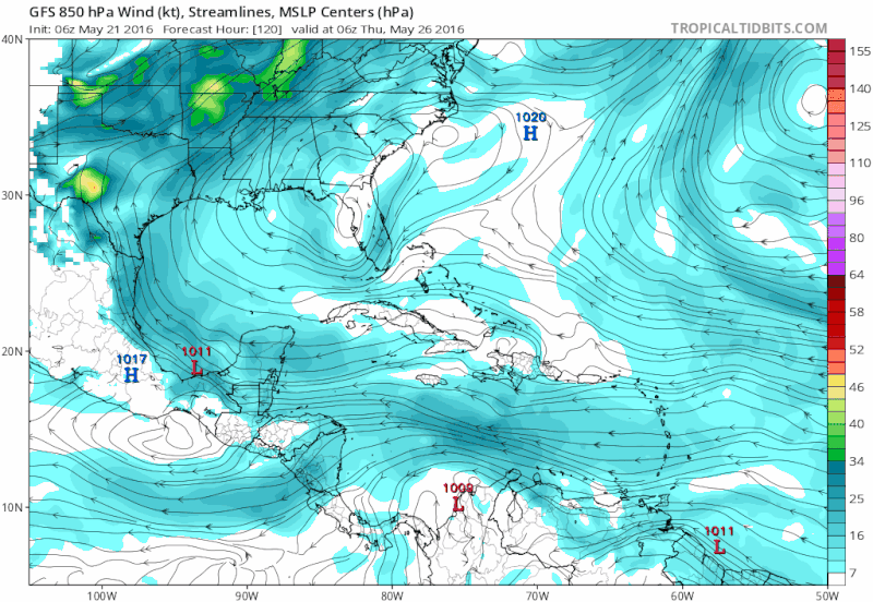
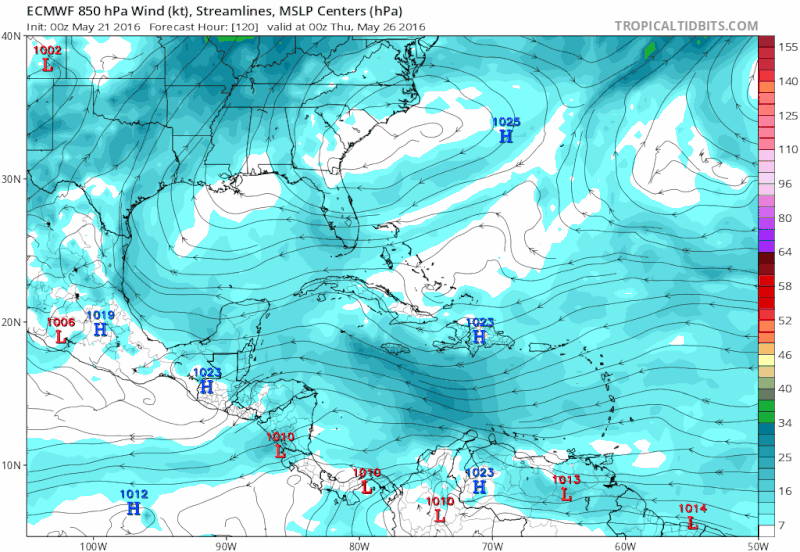
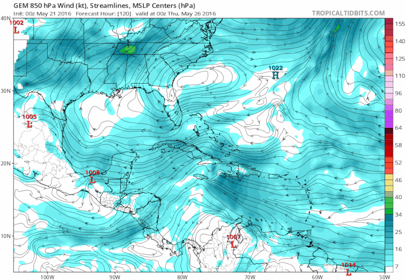
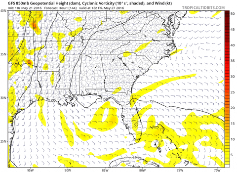
tarheelprogrammer wrote:ECMWF and GFS continue to show what looks like a TC heading toward NC/SC from the Bahamas starting at hour 168. I could be wrong but it has been persistent in showing it.
I'd say the GFS is too bullish and nothing more than a messy weak low develops like the Euro shows.