ATL: LAURA - Models
Moderator: S2k Moderators

-
cp79
Re: ATL: THIRTEEN - Models
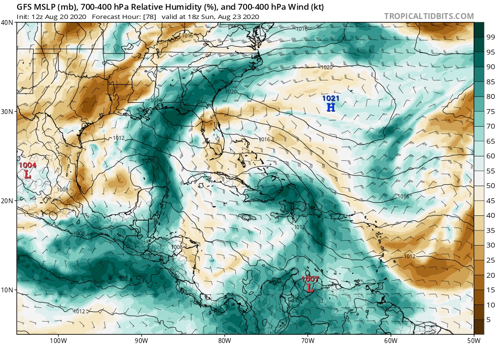
And poof...just like that TD13 is gone per the GFS Through 84 hours. Hope they’re right.
3 likes
-
HurricaneFrances04
- Category 2

- Posts: 597
- Joined: Mon Jun 25, 2012 8:09 am
- Location: Fort Lauderdale, Florida
Re: ATL: THIRTEEN - Models
cp79 wrote:And poof...just like that TD13 is gone per the GFS Through 84 hours. Hope they’re right.
It's there. Just a weak tropical storm in the Straits.
0 likes
-
SouthFLTropics

- Category 5

- Posts: 4258
- Age: 50
- Joined: Thu Aug 14, 2003 8:04 am
- Location: Port St. Lucie, Florida
Re: ATL: THIRTEEN - Models
The only thing I can figure is that a stronger TD14 may impose some shear from the outflow which affects 13. Other than that, I've got nothing. This is a very unique setup.
0 likes
Fourth Generation Florida Native
Personal Storm History: David 79, Andrew 92, Erin 95, Floyd 99, Irene 99, Frances 04, Jeanne 04, Wilma 05, Matthew 16, Irma 17, Ian 22, Nicole 22, Milton 24
Personal Storm History: David 79, Andrew 92, Erin 95, Floyd 99, Irene 99, Frances 04, Jeanne 04, Wilma 05, Matthew 16, Irma 17, Ian 22, Nicole 22, Milton 24

Re: ATL: THIRTEEN - Models
Not saying they're wrong and not meant as a euro/GFS bashing post at all, but if the euro and GFS models are both wrong by underestimating this system (and also TD14 for that matter), it has to be one of the biggest model forecast busts in a while. Just in the hypothetical case that they're wrong, I'm interested what would've been the last time such a big disparity between real life and euro/GFS occured for a tropical storm forecast?
Last edited by kevin on Thu Aug 20, 2020 11:19 am, edited 1 time in total.
3 likes
-
Hypercane_Kyle

- Category 5
- Posts: 3465
- Joined: Sat Mar 07, 2015 7:58 pm
- Location: Cape Canaveral, FL
Re: ATL: THIRTEEN - Models
Interesting to note that the GFS is significantly stronger with 14L in the Gulf than it was last run, yet much weaker with 13L. Seems to me 14L might play a greater role in the future intensity of 13L than we thought.
0 likes
My posts are my own personal opinion, defer to the National Hurricane Center (NHC) and other NOAA products for decision making during hurricane season.
-
WeatherEmperor
- S2K Supporter

- Posts: 4806
- Age: 41
- Joined: Thu Sep 04, 2003 2:54 pm
- Location: South Florida
Re: ATL: THIRTEEN - Models
GFS into South Florida as a weak system. It also depicts a stronger TD14. Maybe this causes TD13 to be weaker approaching FL??

Sent from my iPhone using Tapatalk
Sent from my iPhone using Tapatalk
0 likes
-
cp79
Re: ATL: THIRTEEN - Models
SouthFLTropics wrote:The only thing I can figure is that a stronger TD14 may impose some shear from the outflow which affects 13. Other than that, I've got nothing. This is a very unique setup.
I doubt it if the TD is that far out. I could see it shearing it once it gets to around the Keys area. But the GFS wants to
Inhibit it’s development immediately.
2 likes
-
DestinHurricane

- Category 4

- Posts: 935
- Joined: Tue May 01, 2018 8:05 am
- Location: New York, NY
Re: ATL: THIRTEEN - Models
Why would it go poof with favorable conditions? Something just isn't right.
2 likes
Michael 2018
-
AutoPenalti
- Category 5
- Posts: 4091
- Age: 29
- Joined: Mon Aug 17, 2015 4:16 pm
- Location: Ft. Lauderdale, Florida
Re: ATL: THIRTEEN - Models
Well, so much for that 06z run, something is definitely wrong if we went from a 978mb to a 1002mb low in succeeding runs...
2 likes
The posts in this forum are NOT official forecasts and should not be used as such. They are just the opinion of the poster and may or may not be backed by sound meteorological data. They are NOT endorsed by any professional institution or STORM2K. For official information, please refer to products from the NHC and NWS.
Model Runs Cheat Sheet:
GFS (5:30 AM/PM, 11:30 AM/PM)
HWRF, GFDL, UKMET, NAVGEM (6:30-8:00 AM/PM, 12:30-2:00 AM/PM)
ECMWF (1:45 AM/PM)
TCVN is a weighted averaged
-
supercane4867
- Category 5
- Posts: 4966
- Joined: Wed Nov 14, 2012 10:43 am
Re: ATL: THIRTEEN - Models
GFS fell in love with TD14. The outflow of the stronger system could be the reason why it keeps the other one weaker.
0 likes
-
cp79
Re: ATL: THIRTEEN - Models
GFS similar to ICON. Both strengthen the system once
it gets off Fla west coast and then ride it up.
it gets off Fla west coast and then ride it up.
Last edited by cp79 on Thu Aug 20, 2020 11:08 am, edited 1 time in total.
0 likes
-
SouthFLTropics
- Category 5
- Posts: 4258
- Age: 50
- Joined: Thu Aug 14, 2003 8:04 am
- Location: Port St. Lucie, Florida
Re: ATL: THIRTEEN - Models
Next up... 12z CMC
0 likes
Fourth Generation Florida Native
Personal Storm History: David 79, Andrew 92, Erin 95, Floyd 99, Irene 99, Frances 04, Jeanne 04, Wilma 05, Matthew 16, Irma 17, Ian 22, Nicole 22, Milton 24
Personal Storm History: David 79, Andrew 92, Erin 95, Floyd 99, Irene 99, Frances 04, Jeanne 04, Wilma 05, Matthew 16, Irma 17, Ian 22, Nicole 22, Milton 24
-
AtlanticWind

- S2K Supporter
- Posts: 1898
- Age: 67
- Joined: Sun Aug 08, 2004 9:57 pm
- Location: Plantation,Fla
Re: ATL: THIRTEEN - Models
Thats why the NHC doesnt look at just one model and run.
They use the consensus of the models and ensembles.
They use the consensus of the models and ensembles.
2 likes
-
SFLcane

- S2K Supporter
- Posts: 10281
- Age: 48
- Joined: Sat Jun 05, 2010 1:44 pm
- Location: Lake Worth Florida
Re: ATL: THIRTEEN - Models
AutoPenalti wrote:Well, so much for that 06z run, something is definitely wrong if we went from a 978mb to a 1002mb low in succeeding runs...
Likely sensitive to short term.
0 likes

Re: ATL: THIRTEEN - Models
supercane4867 wrote:GFS fell in love with TD14. The outflow of the stronger system could be the reason why it keeps the other one weaker.
There is considerable distance between them. However, if say 14 is moving slow NW/NNW or whatever and 13 is moving in WNW much faster, you could see some interference. I'm not saying 14 will be stronger than 13 as it usually works the other way. But if it's already there and more established with a faster moving system to its east, you'd have to think 14 would be the stronger system.
0 likes
-
toad strangler

- S2K Supporter
- Posts: 4546
- Joined: Sun Jul 28, 2013 3:09 pm
- Location: Earth
- Contact:
Re: ATL: THIRTEEN - Models
Not buying intensity. This will swing back and forth for the next couple of days. Just a weird set up.
2 likes
My Weather Station
https://www.wunderground.com/dashboard/pws/KFLPORTS603
https://www.wunderground.com/dashboard/pws/KFLPORTS603
-
gatorcane

- S2K Supporter
- Posts: 23708
- Age: 48
- Joined: Sun Mar 13, 2005 3:54 pm
- Location: Boca Raton, FL
Re: ATL: THIRTEEN - Models
There are still dry air issues in the Bahamas if the GFS is right. Conditions are not ideal. Also a stronger TD #14 would impose more shear too if that happens.
One thing I find in these situations from following these storms approaching Florida for years is that if you don't have BOTH the GFS and Euro on board with a hurricane, you typically lean towards the model that is more bearish. You really need both these models showing a hurricane to be concerned.
One thing I find in these situations from following these storms approaching Florida for years is that if you don't have BOTH the GFS and Euro on board with a hurricane, you typically lean towards the model that is more bearish. You really need both these models showing a hurricane to be concerned.
0 likes
-
ScottNAtlanta

- Category 5
- Posts: 2535
- Joined: Sat May 25, 2013 3:11 pm
- Location: Atlanta, GA
Re: ATL: THIRTEEN - Models
HWRF and HMON both have majors approaching S FL. That cant be discounted because the environment when this gets to the Bahamas will be just about perfect. That's why I dont buy the globals right now. HWRF doen't take off until this gets just north of Cuba and the has RI. That looks like a plausible scenario to me.
Check out Mark's video that just came out as he makes some good points
https://youtu.be/Ga_dSZzTYyk
Check out Mark's video that just came out as he makes some good points
https://youtu.be/Ga_dSZzTYyk
Last edited by ScottNAtlanta on Thu Aug 20, 2020 11:21 am, edited 1 time in total.
2 likes
The posts in this forum are NOT official forecast and should not be used as such. They are just the opinion of the poster and may or may not be backed by sound meteorological data. They are NOT endorsed by any professional institution or storm2k.org. For official information, please refer to the NHC and NWS products.
Who is online
Users browsing this forum: No registered users and 68 guests