Ntxw wrote:And yes the GFS is still on the train of PV lobe into the west.
FYI Seattle's all time record low is 0. They got a shot
Where does Texas stand ATM?
I sent out some messages to family. Don't want to look like a fool. Did I jump the gun?
Moderator: S2k Moderators
 The posts in this forum are NOT official forecast and should not be used as such. They are just the opinion of the poster and may or may not be backed by sound meteorological data. They are NOT endorsed by any professional institution or STORM2K.

Ntxw wrote:And yes the GFS is still on the train of PV lobe into the west.
FYI Seattle's all time record low is 0. They got a shot


Ntxw wrote:Meanwhile for the next system there is a game of chicken going on. Canadian is sticking to it's guns for the northern half of the state and colder, southern outcome against the rest of the model world. Neither is backing down. Either it will take a big "L" or score the coup again.

HockeyTx82 wrote:Ntxw wrote:And yes the GFS is still on the train of PV lobe into the west.
FYI Seattle's all time record low is 0. They got a shot
Where does Texas stand ATM?
I sent out some messages to family. Don't want to look like a fool. Did I jump the gun?
Stratton23 wrote:That 12z CMC is just absolutely brutal

Sambucol wrote:Larry Cosgrove this morning:
The two disturbances behind the “2 ABC” system must be watched because with a huge dome of brutally cold air available, two complications may arise. One will be the threat of an ice storm; overrunning is almost assured in a shallow cold air mass with that subtropical high in Hispaniola. One is a sudden drainage of the Arctic regime into the south central states. Keep in mind that in a situation like this, cAk values almost always head south before going east. TX and the lower Mississippi Valley must closely watch events.
Full article:
https://clearskyweather.com/2024/01/05/ ... AvS-3lMgn0

Ntxw wrote:Meanwhile for the next system there is a game of chicken going on. Canadian is sticking to it's guns for the northern half of the state and colder, southern outcome against the rest of the model world. Neither is backing down. Either it will take a big "L" or score the coup again.
ThunderSleetDreams wrote:orangeblood wrote:ThunderSleetDreams wrote:Wxman57 is right and wrong, but it’s on purpose.
Go read his post, he’s talking about next week and I agree with him on next week. He keeps dodging the 15th onward because he knows.
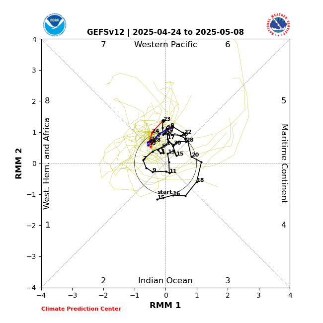
I’ve stated here and on WxInfinity, our timeframe, and that’s weeks 3 and 4 in January. It is coming and it will lock. The week of the 8th will be seasonal to a bit below, except Brent. He may already be in the icebox next week.
I think we need to be cautious about this locking in past week 2...the MJO will be ramping thru the warm phases around that time. Another scenario could be week 1 & 2 cold, week 3 quick warm up and then late Jan into Feb get reloaded with cold as the MJO swings back around
https://www.cpc.ncep.noaa.gov/products/precip/CWlink/MJO/CLIVAR/GEFS.png
In the meantime, week 2 looks loaded with potential and nothing zonal about this flow. The only downside to this 500 mb look is the sub trop jet is shut off/moisture maybe an issue.
https://images.weatherbell.com/model/ecmwf-ensemble-avg/nhemi/z500_anom/1704412800/1705147200-A9mLsOLCy94.png
If it meandered through the warm phases I’d agree. It does not and it’s not amplified.


Cpv17 wrote:Harp.1 wrote:I’ve been noticing that and even commented on it a few days ago. The flow seems zonal from west to east and not more north to south.
If there was zonal flow, I wouldn’t have just picked up 2.25” of rain this week and you wouldn’t be in line to receive multiple inches of rain over the next few days in south LA. Also, you’re not going to get a zonal flow with a -EPO. Not that hard to figure out.

Portastorm wrote::uarrow:
I used to be dismissive of the ICON model but it did a great job during the icing event here in Austin in early 2023. So I'm taking notice.
Also, for those of you on Twitter (X) still ... Ryan Maue is really bullish on the mid month Arctic outbreak. He's had some interesting posts this morning over there.
bubba hotep wrote:Ntxw wrote:Meanwhile for the next system there is a game of chicken going on. Canadian is sticking to it's guns for the northern half of the state and colder, southern outcome against the rest of the model world. Neither is backing down. Either it will take a big "L" or score the coup again.
At this point, the Canadian is a pretty huge outlier. A GEFS/EPS super ensemble only gives you 5 members that get winter wx into North Texas. It's hard to bet against that at this range. I would think we would already see the Euro trending if the snowier solution of the Canadian was going to verify.

TeamPlayersBlue wrote:Portastorm wrote::uarrow:
I used to be dismissive of the ICON model but it did a great job during the icing event here in Austin in early 2023. So I'm taking notice.
Also, for those of you on Twitter (X) still ... Ryan Maue is really bullish on the mid month Arctic outbreak. He's had some interesting posts this morning over there.
He blocked me. Lol.


ThunderSleetDreams wrote:TeamPlayersBlue wrote:Portastorm wrote::uarrow:
I used to be dismissive of the ICON model but it did a great job during the icing event here in Austin in early 2023. So I'm taking notice.
Also, for those of you on Twitter (X) still ... Ryan Maue is really bullish on the mid month Arctic outbreak. He's had some interesting posts this morning over there.
He blocked me. Lol.
Why on earth would Maue block you?
Users browsing this forum: AnnularCane and 69 guests

