ATL: JOAQUIN - Post-Tropical - Discussion
Moderator: S2k Moderators

Re: ATL: JOAQUIN - Hurricane - Discussion
Obviously there is nothing in stone but these SW dips raise possibility for some squally weather for SFL don't they?
0 likes

Re: ATL: JOAQUIN - Hurricane - Discussion
spiral wrote:RL3AO wrote:Lifeless wrote:Interestingly the intensity guide on Tropical Tidbits already suggesting a Cat 3 as it heads into the Bahamas. Anyone like to fill me in where its getting that information from?
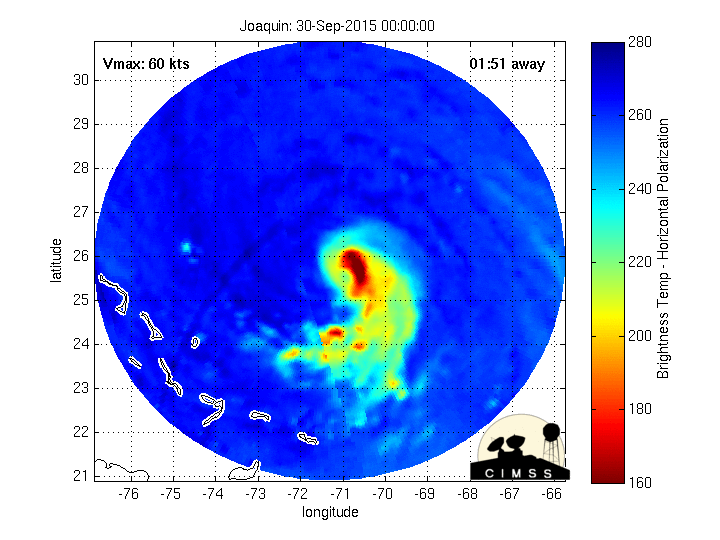
The 0z best track data from NHC was 100kt.
AL, 11, 2015100100, , BEST, 0, 239N, 730W, 100, 951, HU
Looking @satpic's there is really nothing i can see that suggests this system will not continue to strengthen over the next few hours cat3 cant be ruled out.
What is scary is when the system does begin the re curve N its not out of the question it may well be a mature Cat4 east of florida.
Its going to be a cat 3 in an hour when the advisory comes out.
0 likes

Re:
gatorcane wrote:When I look at that loop I posted, it looks to be headed straight for the Bahamas, NHC has it turning just east.
Yea they had it heading West by now. This is still not following the script again.
Last edited by blp on Wed Sep 30, 2015 9:12 pm, edited 1 time in total.
0 likes
The following post is NOT an official forecast and should not be used as such. It is just the opinion of the poster and may or may not be backed by sound meteorological data. It is NOT endorsed by any professional institution including storm2k.org For Official Information please refer to the NHC and NWS products.

Re: ATL: JOAQUIN - Hurricane - Discussion
The weather has deteriorated significantly in the Turks and Caicos. It is not probably gusting to 30-35 kts (granted I am on a hill) with continuous heavy rain. I am going out to put up some plywood on my more vulnerable windows. I'm ready for this to turn away now.
0 likes
-
floridasun78
- Category 5

- Posts: 3755
- Joined: Sun May 17, 2009 10:16 pm
- Location: miami fl
-
invest man
- Tropical Storm

- Posts: 209
- Joined: Sun Aug 17, 2008 8:12 pm
Re:
gatorcane wrote:Based on this loop, it looks to be pretty steady SW movement though:
http://rammb.cira.colostate.edu/ramsdis ... display=12
NHC doesn't as of 5pm have it going further past 23.9N. To my weak eye is appeared in the last few frames that it is either stalled or slowly wobbled west

0 likes
-
bamajammer4eva
- Category 4

- Posts: 907
- Joined: Sun Apr 18, 2010 3:21 am
- Location: Ozark, AL
Re:
NDG wrote:All I am saying is that if Joaquin continues with its southerly track the Euro's operational run could be more right than wrong, all the models that slam it into the US east coast want it to turn north fairly fast and do not show it go as far south as the Euro has it.
Many of us, including some pro-mets, were laughing at the Euro for tracking it towards the Bahamas as a Major Hurricane.
Here was what the ones who know most thought 3 nights ago. Bahamas was NOT in anybody's expectations nor a named storm. According to the tropicaltidbits site looks like the Euro sort of caught on 12z Monday with a near miss to the Bahamas

0 likes
-
Miami Storm Tracker

- Category 4
- Posts: 916
- Age: 68
- Joined: Sun Jun 13, 2010 10:12 pm
- Location: Key Largo, Fla.
- Contact:
Re: Re:
blp wrote:gatorcane wrote:When I look at that loop I posted, it looks to be headed straight for the Bahamas, NHC has it turning just east.
Yea they had it heading West by now. This is still not following the script again.
Evening Brian,
What a major change compared to most of the season. This keeps up it may end up near the North cost of Cuba.
This is just an opinion and by no means am I a pro.
0 likes

-
CrazyC83
- Professional-Met

- Posts: 34315
- Joined: Tue Mar 07, 2006 11:57 pm
- Location: Deep South, for the first time!
Re: ATL: JOAQUIN - Hurricane - Discussion
seatrump wrote:The weather has deteriorated significantly in the Turks and Caicos. It is not probably gusting to 30-35 kts (granted I am on a hill) with continuous heavy rain. I am going out to put up some plywood on my more vulnerable windows. I'm ready for this to turn away now.
Even if there isn't an order by officials to prepare heavily, if you feel unsafe, do whatever it takes to feel safe.
0 likes
Re: Re:
Miami Storm Tracker wrote:blp wrote:gatorcane wrote:When I look at that loop I posted, it looks to be headed straight for the Bahamas, NHC has it turning just east.
Yea they had it heading West by now. This is still not following the script again.
Evening Brian,
What a major change compared to most of the season. This keeps up it may end up near the North cost of Cuba.
This is just an opinion and by no means am I a pro.
This found one of the few spots east of 50W that has favorable conditions. I would like see the models tonight which are initialized with a stronger storm and the Gulfstream data.
I wonder if the trough will completely pull it out. Might get stuck with a other building high. That trough is going to exit quick.
Last edited by blp on Wed Sep 30, 2015 9:21 pm, edited 1 time in total.
0 likes
The following post is NOT an official forecast and should not be used as such. It is just the opinion of the poster and may or may not be backed by sound meteorological data. It is NOT endorsed by any professional institution including storm2k.org For Official Information please refer to the NHC and NWS products.
-
ConvergenceZone
.gif)
- Category 5
- Posts: 5241
- Joined: Fri Jul 29, 2005 1:40 am
- Location: Northern California

Re: Re:
bamajammer4eva wrote:NDG wrote:All I am saying is that if Joaquin continues with its southerly track the Euro's operational run could be more right than wrong, all the models that slam it into the US east coast want it to turn north fairly fast and do not show it go as far south as the Euro has it.
Many of us, including some pro-mets, were laughing at the Euro for tracking it towards the Bahamas as a Major Hurricane.
Here was what the ones who know most thought 3 nights ago. Bahamas was NOT in anybody's expectations nor a named storm. According to the tropicaltidbits site looks like the Euro sort of caught on 12z Monday with a near miss to the Bahamas
yikes, that has to be what, like 750 miles off of where it was projected to be tonight???
0 likes
Just like Jon Snow..."I know nothing" except what I know, and most of what I know is gathered by the fine people of the NHC
Re:
ConvergenceZone wrote:So 2 questions, on the 11:00PM update,
#1 does the track change?
#2 does the current strength change, or do they keep it the same?
IMO
#1 not really..
#2 yes. 100kt/cat 3.
Personal Forecast Disclaimer:
The posts in this forum are NOT official forecast and should not be used as such. They are just the opinion of the poster and may or may not be backed by sound meteorological data. They are NOT endorsed by any professional institution or storm2k.org. For official information, please refer to the NHC and NWS products.
0 likes
-
cycloneye

- Admin

- Posts: 149317
- Age: 69
- Joined: Thu Oct 10, 2002 10:54 am
- Location: San Juan, Puerto Rico
Re: ATL: JOAQUIN - Recon
Any information if plane went back to base or what happened? NHC has not tweeted about it.
0 likes
Visit the Caribbean-Central America Weather Thread where you can find at first post web cams,radars
and observations from Caribbean basin members Click Here
and observations from Caribbean basin members Click Here
-
northjaxpro

- S2K Supporter

- Posts: 8900
- Joined: Mon Sep 27, 2010 11:21 am
- Location: Jacksonville, FL
Re:
ConvergenceZone wrote:So 2 questions, on the 11:00PM update,
#1 does the track change?
#2 does the current strength change, or do they keep it the same?
Regarding intensity, I can see Joaquin potentially reaching Cat 4 strength tomorrow. I am not going to talk about track at this point until the north turn finally commences.
Last edited by northjaxpro on Wed Sep 30, 2015 9:24 pm, edited 1 time in total.
0 likes
NEVER, EVER SAY NEVER in the tropics and weather in general, and most importantly, with life itself!!
________________________________________________________________________________________
Fay 2008 Beryl 2012 Debby 2012 Colin 2016 Hermine 2016 Julia 2016 Matthew 2016 Irma 2017 Dorian 2019
________________________________________________________________________________________
Fay 2008 Beryl 2012 Debby 2012 Colin 2016 Hermine 2016 Julia 2016 Matthew 2016 Irma 2017 Dorian 2019
Who is online
Users browsing this forum: No registered users and 355 guests