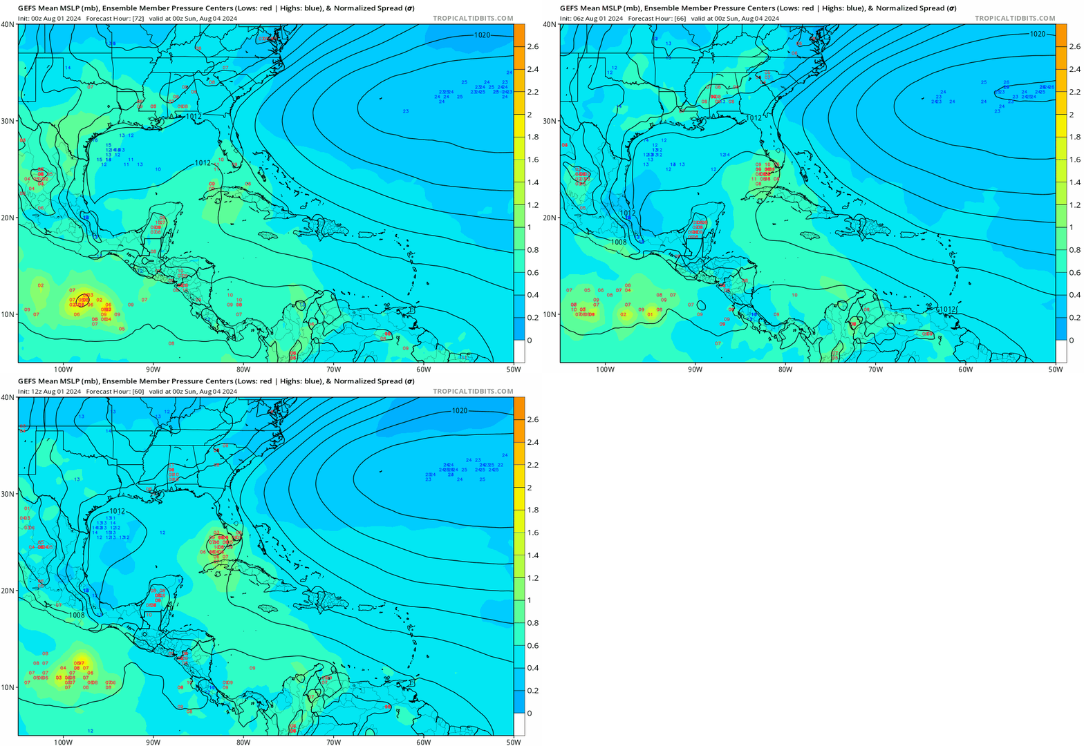
chaser1 wrote::think: Just another unknown caveat to throw into the mix of things. It might be interesting to see which (if any) models suggest faster development or RI in terms of how it might relate to the eventual storm track. Meaning, if there are already indications of a COL or short-term breakdown of steering in the S.E. GOM and any particular model suggest significant deepening to occur around that same time, such a quick fall in surface pressures could somewhat mitigate or at least further delay any onset of forward motion towards the projected weakness in the ridge. Such temporary stalls within quickly organizing systems can be apt to impact forecast point verification by hours. That might not seem like much, but it might just impact the timing 2-3 days later whether slipping through a weakness or just missing a retreating trough and getting blocked by the rebuilding ridge. Timing is everything but right now land will play the biggest factor there.
EVERYTHING you said is probably the reason the models are so scattered: Some saying west toward LA, some panhandle, some SW FL. Some recurve.....
The models are still only "models," aren't they? They still don't seem to know every variable that impacts what will steer a storm, or feed it, or kill it. Still so much to learn about these beasts.


