

Most Infamous Cases of Rapid Intensification?
Moderator: S2k Moderators
Forum rules

The posts in this forum are NOT official forecasts and should not be used as such. They are just the opinion of the poster and may or may not be backed by sound meteorological data. They are NOT endorsed by any professional institution or STORM2K. For official information, please refer to products from the National Hurricane Center and National Weather Service.
Re: Most Infamous Cases of Rapid Intensification?
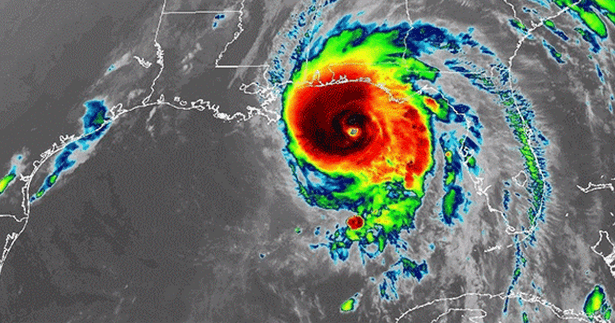
Michael was another one in the surprise category. No one would have expected it to become the first cat 5 CONUS landfall since Andrew given the normally higher wind shear in the gulf in October. Especially given how bad it looked when it was a cat 2 two days prior.
5 likes
Who is online
Users browsing this forum: bird and 168 guests