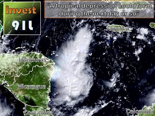
INVEST 91L : Caribbean : Discussions & Images
Moderator: S2k Moderators
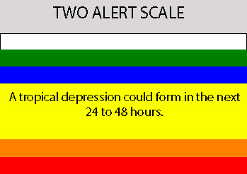
Re: INVEST 91L : Caribbean : 11:30 AM TWO Posted
Wxman57:
Any chance of this thing bouncing north and towards us?
Any chance of this thing bouncing north and towards us?
0 likes


Re: INVEST 91L: Models Thread
Interesting. Noel goes east and north. 91L goes west and south. No rain for Sanibel.
Let's see if that chart nudges a little north.
Let's see if that chart nudges a little north.
0 likes
Sanibel,
Perhaps the professional folks can shed some light on this, but, there is a cold front (a Texas blue norther, actually) forecast to move southeastward across the Gulf and Florida by Tuesday, so, I suppose it depends on whether the system will linger or move onshore Central America before the pre-frontal trough moves far enough south to pick up what might form:
http://www.hpc.ncep.noaa.gov/medr/9kh.gif
0 likes

Re: INVEST 91L : Caribbean : 11:30 AM TWO Posted
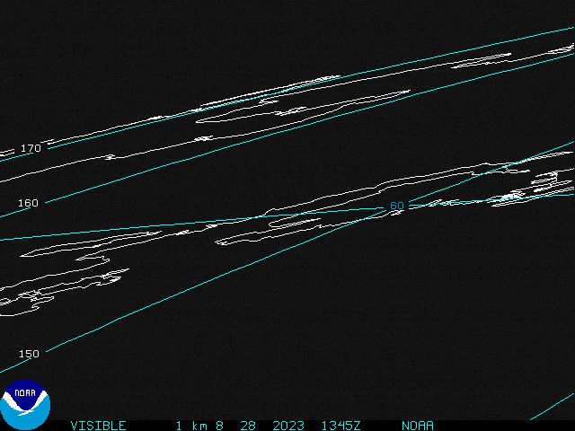
This became an Invest quiker than I thought. With convection dropping last night, I thought NHC would call it an Invest later in the weekend.
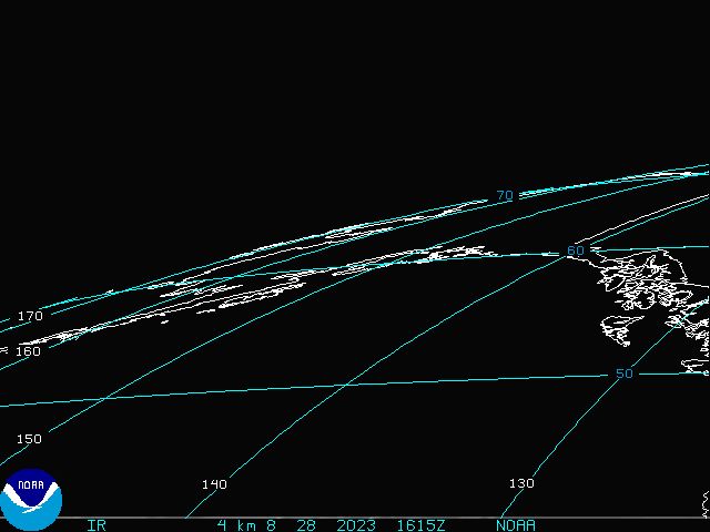
VIS Sat shows convection firing over the center of the surface low.
http://www.tropicalatlantic.com/satelli ... 15&lon=-82
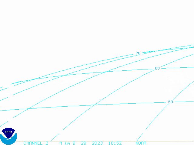
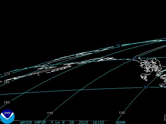
UL Winds are about 20 knots over the center, which is displacing the convection:
http://www.ssd.noaa.gov/goes/east/carb/loop-wv.html
It has found an opportunity to develop in a pocket of low shear:

I don't see rapid intensification with this in the immediate future since it is not sitting directly under an UL High.

I need to wait and see the NHC Floater come up to get a reading on Lifting Index.
VIS Sat shows convection firing over the center of the surface low.
http://www.tropicalatlantic.com/satelli ... 15&lon=-82
UL Winds are about 20 knots over the center, which is displacing the convection:
http://www.ssd.noaa.gov/goes/east/carb/loop-wv.html
It has found an opportunity to develop in a pocket of low shear:
I don't see rapid intensification with this in the immediate future since it is not sitting directly under an UL High.
I need to wait and see the NHC Floater come up to get a reading on Lifting Index.
0 likes


-
wxman57

- Moderator-Pro Met

- Posts: 23172
- Age: 68
- Joined: Sat Jun 21, 2003 8:06 pm
- Location: Houston, TX (southwest)
Re: INVEST 91L : Caribbean : 11:30 AM TWO Posted
Sanibel wrote:Wxman57:
Any chance of this thing bouncing north and towards us?
Nope. Storms like Mexico or Central America this year, it appears.
0 likes


Re: INVEST 91L : SW Caribbean : Discussions & Images
It probably formed because the SW steering currents pulled it away from Noel's influence. You can see a solid EPAC flow on that steering current map. No chance on it coming north.
0 likes
-
gatorcane

- S2K Supporter

- Posts: 23708
- Age: 48
- Joined: Sun Mar 13, 2005 3:54 pm
- Location: Boca Raton, FL
Re: INVEST 91L : SW Caribbean : Discussions & Images
Good call GCANE.
You called this thing developing before anybody on this board, even the pro mets.
Hats off to you!
You called this thing developing before anybody on this board, even the pro mets.
Hats off to you!
0 likes
-
CourierPR

- Category 5

- Posts: 1336
- Age: 72
- Joined: Tue Aug 31, 2004 7:53 pm
- Location: Pompano Beach, Florida
Re: INVEST 91L : SW Caribbean : Discussions & Images
Nice pat on the back for yourself.gatorcane wrote:Good call GCANE.
You called this thing developing before anybody on this board, even the pro mets.
Hats off to you!
0 likes
-
wxman57
- Moderator-Pro Met
- Posts: 23172
- Age: 68
- Joined: Sat Jun 21, 2003 8:06 pm
- Location: Houston, TX (southwest)
Re:
HURAKAN wrote:Wxman57:
Do you have a surface analysis for this one? They're always great!!!
Here's a 17Z analysis. May bet a few more obs at 18Z. It appears to be moving faster than 3 kts, so it may not have more than another 36 hours over water.

0 likes
-
wxman57
- Moderator-Pro Met
- Posts: 23172
- Age: 68
- Joined: Sat Jun 21, 2003 8:06 pm
- Location: Houston, TX (southwest)
Re:
gatorcane wrote:Wxman I disagree. Looks like it is just crawling West.....
Hard to tell as there's not much to focus on. I'll try to run along loop and get an estimate. I can put my cursor anywhere on the image and advance the image a few hours then measure the distance covered.
0 likes
Who is online
Users browsing this forum: No registered users and 18 guests