

DestinHurricane wrote:aspen wrote:Aric Dunn wrote:
It is just the beginning of it. pressure will fall.
Radar confirms a tiny eye. it could of course collapse if an outer eyewall starts to develop as well.. but right now there is one continuous spiral band into the tiny eye.
https://i.ibb.co/48Rg7Gz/eye2.png
Definitely a double eyewall. You can even see the double wind maxima on the pass through the NW quadrant. This won’t be able to intensify much until that inner eyewall is gone.
Inner eyewall should take over. Outer eyewall should just meld/contract as part of it as we're seeing on radar.
Looks like you and Aric may end up right.
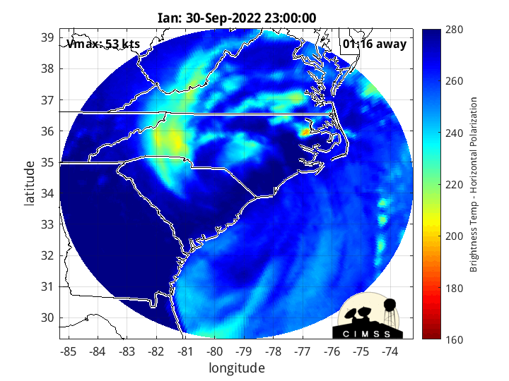
https://twitter.com/derrickherndon2/status/1574451546217222158
Sent from my iPhone using Tapatalk


