Oh NO! I just checked out CERA for the latest storm surge maps and my hands are literally shaking. They have gotten so much worse.
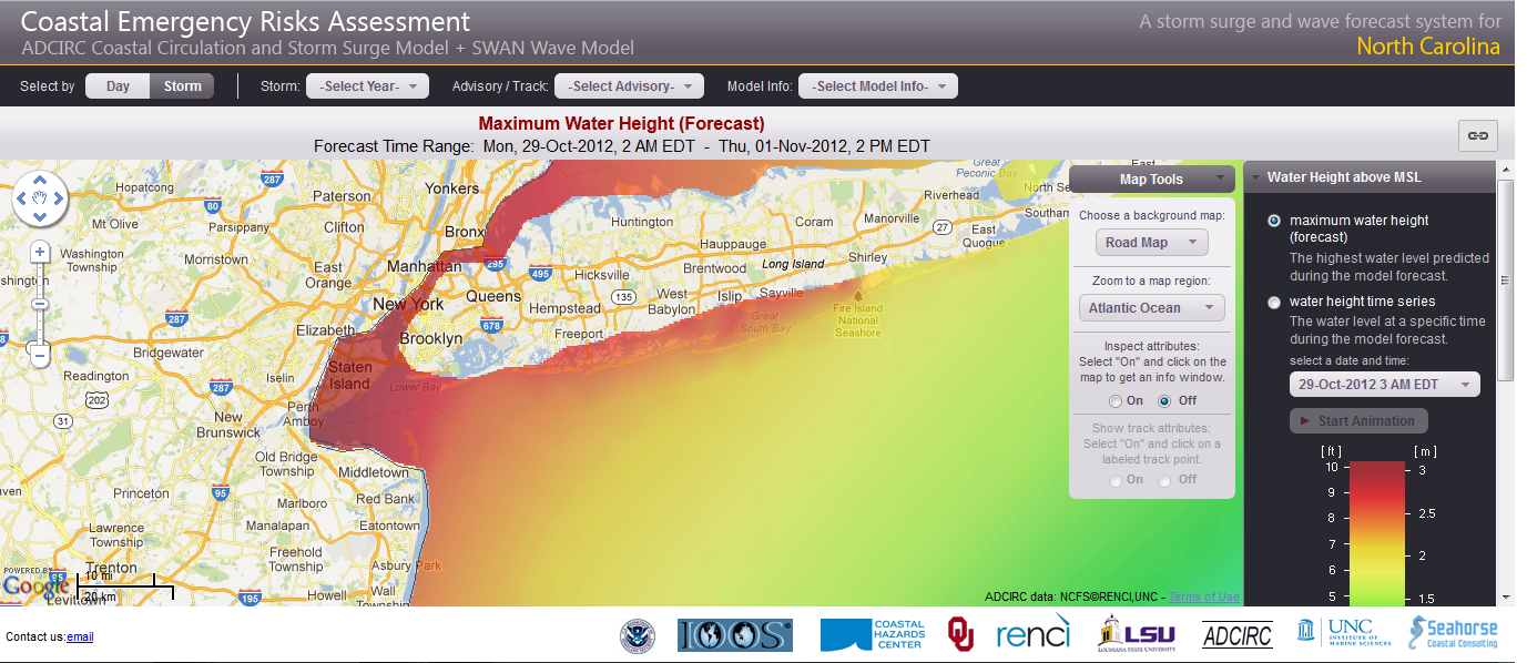
Here's the map for NY Metro area:
Here's the map for the East Coast - look at St. John's Canada!!!

These are screen shots from my computer at about 11:30 UTC October 29, 2012.
EDIT: Ok, wxman57 informs me the color scale has changed since yesterday. That's good news. That means the surge forecast is not necessarily more severe. However anyway you look at it, a huge swath of the East Coast is now due for 10 foot+ storm surge. That's STILL life-threatening in many areas, I would think.


