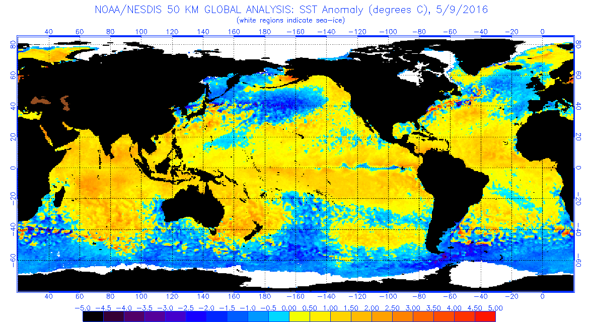
TheStormExpert wrote:Part of me is surprised and part of me isn't.
I'm surprised at how quickly things have changed in just one month, and this just goes to show you that the indicators before May mean very little to almost nothing as just like we see here things can change on a dime!
What doesn't surprise me is that I felt the Euro was overdoing the higher pressures and lower precipitation. I mean we had our first Cat.5 in over nine years located in the extreme Southern Part of the Eastern Caribbean in October last year. This tells me that conditions and pressure had to have been quite favorable.
All in all something tells me(and has been) that this season could be a just as active or even more active than last.
Now the big question is where will the bulk of the storms track this year? Will we see an active Cape Verde season allowing storms to recurve instantly before affecting land, or will things wait to get going until further west just like in 2005 greatly enhancing the chances of land impacts?
My last question is when you say near normal Alyono does this mean slightly above normal pressures and slightly below normal precipitation or the opposite?
I think what was meant was that the EC has a huge bias when it comes to pressure forecasts, and the fact that it is showing near normal pressures is shocking, and may need to be closely watched for some very favorable conditions.


