

gatorcane wrote:AutoPenalti wrote:Not sure how much I buy that quick ejection to the NE, trough would need to bring fall temperatures to Florida for that kind of swoop.
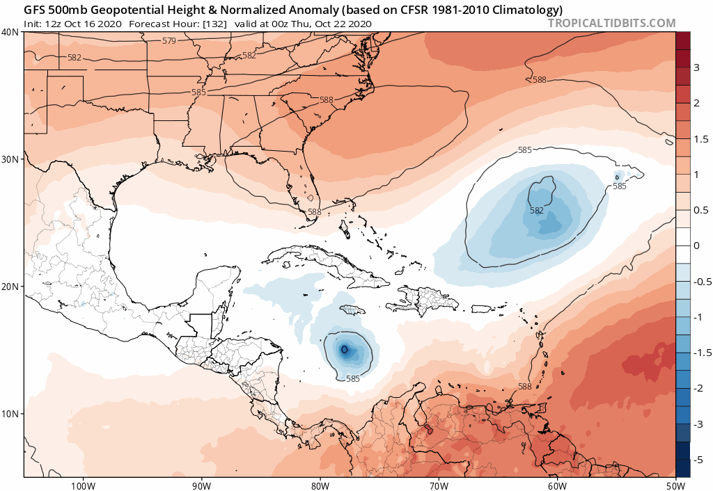
It is more about how the other area NHC is watching in the SW Atlantic erodes the Bermuda High as can be seen here:
https://i.postimg.cc/nVKY6XGJ/gfs-z500a-Norm-watl-fh132-210.gif
I think its pretty clear that thats gonna be the defining feature as to whether this stalls like the GFS-P has or goes quickly out to sea. The operational GFS has had this feature further west and stronger than the GFS-P for a while now.


