ATL: DEBBY - Post-Tropical
Moderator: S2k Moderators
-
Air Force Met
- Military Met

- Posts: 4372
- Age: 56
- Joined: Tue Jul 08, 2003 9:30 am
- Location: Roan Mountain, TN
Re: ATL: DEBBY - Tropical Storm - Discussion
Convection exploding and the low is once again headed to the convection.
Repeat until inland.
Repeat until inland.
0 likes
- Evil Jeremy
- S2K Supporter

- Posts: 5463
- Age: 32
- Joined: Mon Apr 10, 2006 2:10 pm
- Location: Los Angeles, CA
Re:
gatorcane wrote:Winds across peninsula Florida and adjacent waters. Notice the large area of sustained high winds off the west coast of Florida (big area of green and yellow shading). Strongest winds remaining offshore:
http://img853.imageshack.us/img853/1807 ... iswind.png
Are those MPH or KTS?
0 likes
Frances 04 / Jeanne 04 / Katrina 05 / Wilma 05 / Fay 08 / Debby 12 / Andrea 13 / Colin 16 / Hermine 16 / Matthew 16 / Irma 17
Re: ATL: DEBBY - Tropical Storm - Discussion
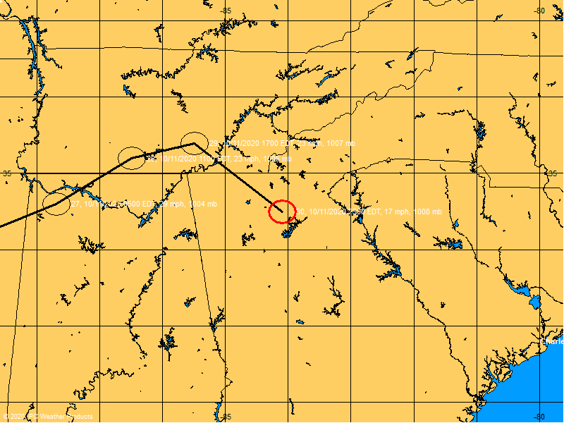
2PM position - Map courtesy BoatUS.com


0 likes
The posts in this forum are NOT official forecasts and should not be used as such. They are just the opinion of the poster and may or may not be backed by sound meteorological data. They are NOT endorsed by any professional institution or STORM2K. For official information, please refer to products from the NHC and NWS.
Re: ATL: DEBBY - Tropical Storm - Discussion
LI at core is now +1. Still struggling to break the cap.
http://www.spc.noaa.gov/exper/mesoanaly ... sector=18#
http://www.spc.noaa.gov/exper/mesoanaly ... sector=18#
0 likes
Re: ATL: DEBBY - Tropical Storm - Discussion
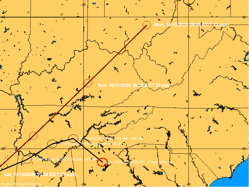
2PM position with forcasted track. Map courtesy BoatUS.com.


0 likes
The posts in this forum are NOT official forecasts and should not be used as such. They are just the opinion of the poster and may or may not be backed by sound meteorological data. They are NOT endorsed by any professional institution or STORM2K. For official information, please refer to products from the NHC and NWS.
Re: ATL: DEBBY - Tropical Storm - Discussion
Enlighten me -please
Is that HUGE blow up to the north - going to sing down to center - or is center going to draw up to meet with it?
Wow
http://www.ssd.noaa.gov/PS/TROP/floater ... -long.html
Is that HUGE blow up to the north - going to sing down to center - or is center going to draw up to meet with it?
Wow
http://www.ssd.noaa.gov/PS/TROP/floater ... -long.html
0 likes
Re: ATL: DEBBY - Tropical Storm - Discussion
crimi481 wrote:Enlighten me -please
Is that HUGE blow up to the north - going to sing down to center - or is center going to draw up to meet with it?
Wow
http://www.ssd.noaa.gov/PS/TROP/floater ... -long.html
It will definitely moisten the mid-level dry air streaming in from AL/MS.
0 likes
-
jlauderdal
- S2K Supporter

- Posts: 7240
- Joined: Wed May 19, 2004 5:46 am
- Location: NE Fort Lauderdale
- Contact:
Re: ATL: DEBBY - Tropical Storm - Discussion
Any idea what kind of drastic move they might be seeing? Seems like we are fairly locked on to a slow mover then ejected out sometime in the next few days.
Miami NWS http://kamala.cod.edu/fl/latest.fxus62.KMFL.html
MODELS
DO THOUGH SEEM TO INDICATE THAT THE CONTINUOUS STRONG BANDING AROUND
DEBBY MAY REMAIN TO THE N OF S FLA IN THE EXTENDED PERIOD BUT A
MOSTLY CLOUDY PERIOD REMAINS FOR S FLA IN THE SHORT TERM.
POTENTIALLY SOME CLEARING WITH SUN IN THE LONG TERM BUT WITH
NOCTURNAL ACTIVITY W COAST AND DIURNAL INTERIOR AND E. A DRASTIC
MOVE BY DEBBY COULD CHANGE THIS THINKING. STAY-TUNED.
0 likes
-
tolakram
- Admin

- Posts: 20167
- Age: 62
- Joined: Sun Aug 27, 2006 8:23 pm
- Location: Florence, KY (name is Mark)
Re: ATL: DEBBY - Tropical Storm - Discussion
http://wwwghcc.msfc.nasa.gov/cgi-bin/ge ... umframes=5
and
http://www.esl.lsu.edu/animate/goes/ind ... hannel=vis
As AFM mentioned before, looks like the center is being pulled NE which will result in landfall soon.
Personal Forecast Disclaimer:
The posts in this forum are NOT official forecast and should not be used as such. They are just the opinion of the poster and may or may not be backed by sound meteorological data. They are NOT endorsed by any professional institution or storm2k.org. For official information, please refer to the NHC and NWS products.
0 likes
M a r k
- - - - -
Join us in chat: Storm2K Chatroom Invite. Android and IOS apps also available.
The posts in this forum are NOT official forecasts and should not be used as such. Posts are NOT endorsed by any professional institution or STORM2K.org. For official information and forecasts, please refer to NHC and NWS products.
-
Aric Dunn
- Category 5

- Posts: 21238
- Age: 43
- Joined: Sun Sep 19, 2004 9:58 pm
- Location: Ready for the Chase.
- Contact:
Re: ATL: DEBBY - Tropical Storm - Discussion
tolakram wrote:http://wwwghcc.msfc.nasa.gov/cgi-bin/get-goes?satellite=GOES-E%20CONUS&lat=28&lon=-85&info=vis&zoom=1&width=1000&height=800&quality=95&type=Animation&numframes=5
and
http://www.esl.lsu.edu/animate/goes/ind ... hannel=vis
As AFM mentioned before, looks like the center is being pulled NE which will result in landfall soon.
Personal Forecast Disclaimer:
The posts in this forum are NOT official forecast and should not be used as such. They are just the opinion of the poster and may or may not be backed by sound meteorological data. They are NOT endorsed by any professional institution or storm2k.org. For official information, please refer to the NHC and NWS products.
Yeah seems to be reforming closer to the convection. the overall center is very large and broad so will have to wait and see if another vort develops back offshore.
0 likes
Note: If I make a post that is brief. Please refer back to previous posts for the analysis or reasoning. I do not re-write/qoute what my initial post said each time.
If there is nothing before... then just ask
Space & Atmospheric Physicist, Embry-Riddle Aeronautical University,
I believe the sky is falling...
If there is nothing before... then just ask
Space & Atmospheric Physicist, Embry-Riddle Aeronautical University,
I believe the sky is falling...
-
Stormcenter
- S2K Supporter

- Posts: 6685
- Joined: Wed Sep 03, 2003 11:27 am
- Location: Houston, TX
- sittingduck
- S2K Supporter

- Posts: 112
- Joined: Mon Aug 13, 2007 3:16 pm
- Location: venice florida
Re: ATL: DEBBY - Tropical Storm - Discussion
Finally had a break in the clouds and saw the sun for about 30 minutes - wind has really picked up here though
0 likes
- northjaxpro
- S2K Supporter

- Posts: 8900
- Joined: Mon Sep 27, 2010 11:21 am
- Location: Jacksonville, FL
Re: ATL: DEBBY - Tropical Storm - Discussion
jlauderdal wrote:Any idea what kind of drastic move they might be seeing? Seems like we are fairly locked on to a slow mover then ejected out sometime in the next few days.
Miami NWS http://kamala.cod.edu/fl/latest.fxus62.KMFL.html
MODELS
DO THOUGH SEEM TO INDICATE THAT THE CONTINUOUS STRONG BANDING AROUND
DEBBY MAY REMAIN TO THE N OF S FLA IN THE EXTENDED PERIOD BUT A
MOSTLY CLOUDY PERIOD REMAINS FOR S FLA IN THE SHORT TERM.
POTENTIALLY SOME CLEARING WITH SUN IN THE LONG TERM BUT WITH
NOCTURNAL ACTIVITY W COAST AND DIURNAL INTERIOR AND E. A DRASTIC
MOVE BY DEBBY COULD CHANGE THIS THINKING. STAY-TUNED.
My best educated guess to what the Miami mets may be referring to is as a "drastic move" by Debby is one of two things.
1. Debby drifts south-southeast over a bit warmer ssts than where she has upwelled currently and slowly intensifies, increasing winds and bringing back significant rainfall back into that area.
or
2. Debby somehow stays intact and reaches the Atlantic to a point just off the FL east coast, and strengthens some there.
I am thinking scenario #1 is what they are probably referring to mostly with Debby drifting south and remaining in the GOM.
The posts in this forum are NOT official forecast of this poster and should not be used as such. It is just the opinion of the poster and may or may not be backed by sound meteorological data. They are NOT endorsed by any professional institution or storm2k.org. For official information, please refer to the NHC and NWS products.
Last edited by northjaxpro on Mon Jun 25, 2012 2:05 pm, edited 1 time in total.
0 likes
NEVER, EVER SAY NEVER in the tropics and weather in general, and most importantly, with life itself!!
________________________________________________________________________________________
Fay 2008 Beryl 2012 Debby 2012 Colin 2016 Hermine 2016 Julia 2016 Matthew 2016 Irma 2017 Dorian 2019
________________________________________________________________________________________
Fay 2008 Beryl 2012 Debby 2012 Colin 2016 Hermine 2016 Julia 2016 Matthew 2016 Irma 2017 Dorian 2019
- SeminoleWind
- Category 1

- Posts: 359
- Age: 51
- Joined: Wed Jun 02, 2010 8:37 pm
- Location: Lake County Florida
0 likes
This post is NOT an official forecast and should not be used as such. It is just the opinion of the poster and may or may not be backed by sound meteorological data. It is NOT endorsed by any professional institution including storm2k.org For Official Information please refer to the NHC and NWS products.
-
jlauderdal
- S2K Supporter

- Posts: 7240
- Joined: Wed May 19, 2004 5:46 am
- Location: NE Fort Lauderdale
- Contact:
Re: ATL: DEBBY - Tropical Storm - Discussion
northjaxpro wrote:jlauderdal wrote:Any idea what kind of drastic move they might be seeing? Seems like we are fairly locked on to a slow mover then ejected out sometime in the next few days.
Miami NWS http://kamala.cod.edu/fl/latest.fxus62.KMFL.html
MODELS
DO THOUGH SEEM TO INDICATE THAT THE CONTINUOUS STRONG BANDING AROUND
DEBBY MAY REMAIN TO THE N OF S FLA IN THE EXTENDED PERIOD BUT A
MOSTLY CLOUDY PERIOD REMAINS FOR S FLA IN THE SHORT TERM.
POTENTIALLY SOME CLEARING WITH SUN IN THE LONG TERM BUT WITH
NOCTURNAL ACTIVITY W COAST AND DIURNAL INTERIOR AND E. A DRASTIC
MOVE BY DEBBY COULD CHANGE THIS THINKING. STAY-TUNED.
My best educated guess to what the Miami mets may be referring to is as a "drastic move" by Debby is one of two things.
1. Debby drifts south-southeast over a bit warmer ssts than where she has upwelled currently and slowly intensifies, increasing winds and bringing back significant rainfall back into that area.
or
2. Debby somehow stays intact and reaches the Atlantic to a point just off the FL east coast, and strengthens some there.
I am thinking scenario #1 is what they are probably referring to mostly with Debby drifting south and remaining in the GOM.
The posts in this forum are NOT official forecast and should not be used as such. They are just the opinion of the poster and may or may not be backed by sound meteorological data. They are NOT endorsed by any professional institution or storm2k.org. For official information, please refer to the NHC and NWS products.
ok, that makes sense...scenario 1 would definitely prolong the debby experience for florida..anyone remember debby that was forecast to nail sofla as a 2/3 and then took a dive south and shipwrecked in the dominican....miami media was all fired up and at the 5 pm advisory it was basically bones time, what a letdown the media had.
0 likes
- SeminoleWind
- Category 1

- Posts: 359
- Age: 51
- Joined: Wed Jun 02, 2010 8:37 pm
- Location: Lake County Florida
0 likes
This post is NOT an official forecast and should not be used as such. It is just the opinion of the poster and may or may not be backed by sound meteorological data. It is NOT endorsed by any professional institution including storm2k.org For Official Information please refer to the NHC and NWS products.
Re: ATL: DEBBY - Tropical Storm - Discussion
Winds at Apalachicola airport just shifted around to the northeast with a pressure of 995 mb there. I think we might have landfall.
0 likes
Who is online
Users browsing this forum: No registered users and 18 guests


