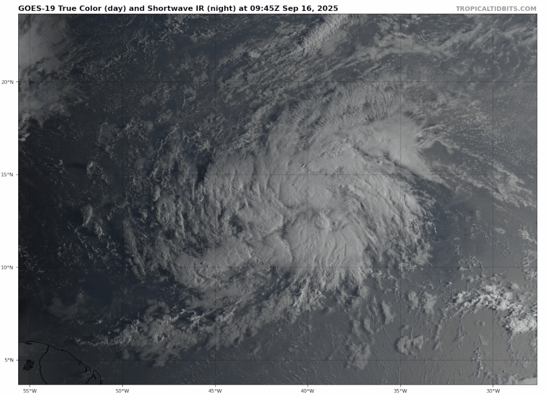
TallyTracker wrote:This storm is massive! The circulation covers about 10 degrees of latitude and longitude! That may make development slower, but I’m interested in how the storm evolves as it gains latitude. Typically storms get larger as they enter the subtropics.
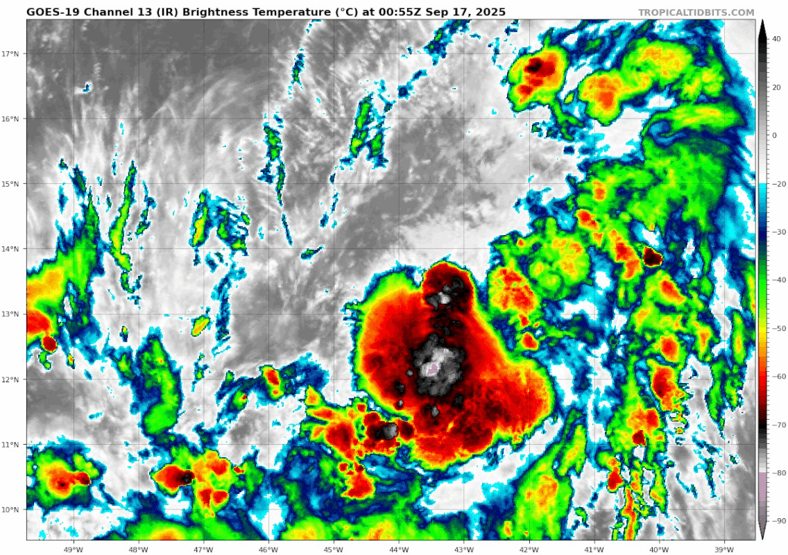
It is better viewed on the Tropical Tidbits Central Atlantic than the 92L floater because of the size. Overall center is still elliptical. I see the best track center and a more poorly defined center closer to 45W. Might take a day or two but unlike the last couple of invests this looks like a sure bet.