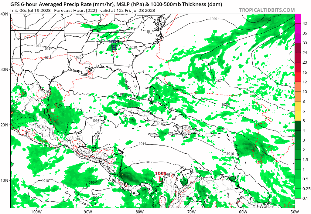
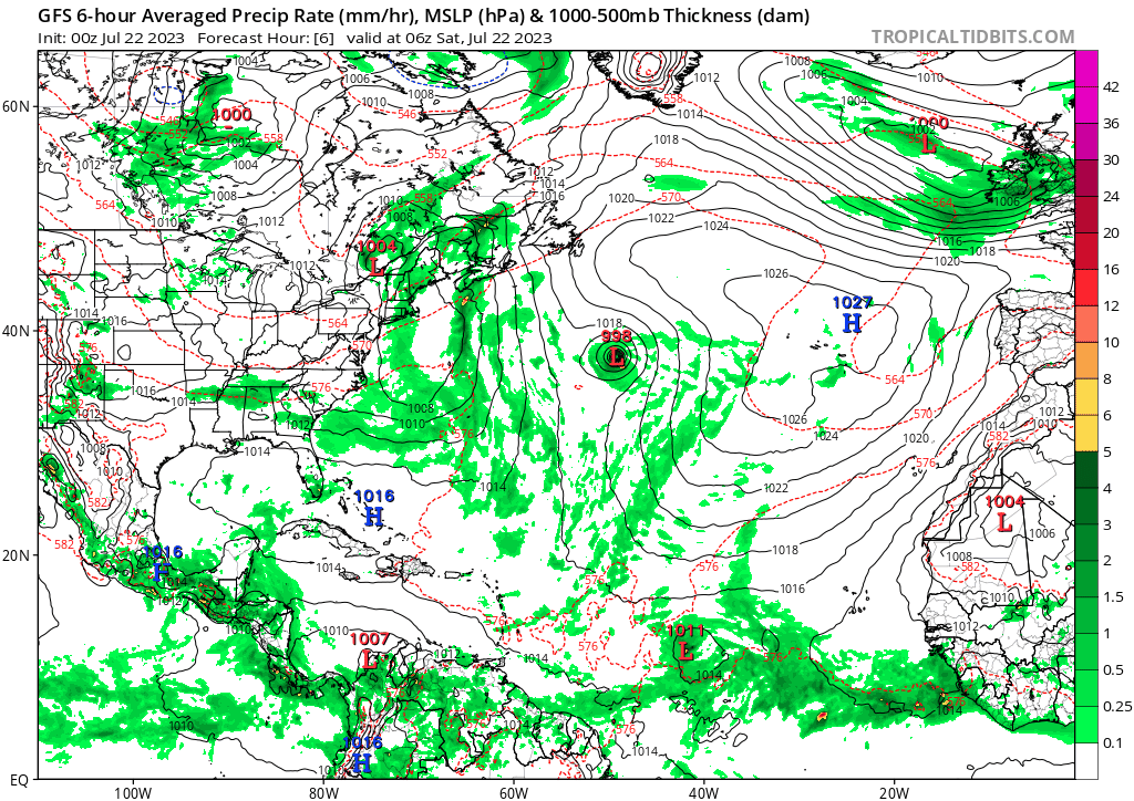
06z GFS... First TW moves over PR then into SFL... Second TW develops and finishes as TS off CONUS... GFS still trying to resolve these 2 TW's in the long range IMO.
Moderator: S2k Moderators


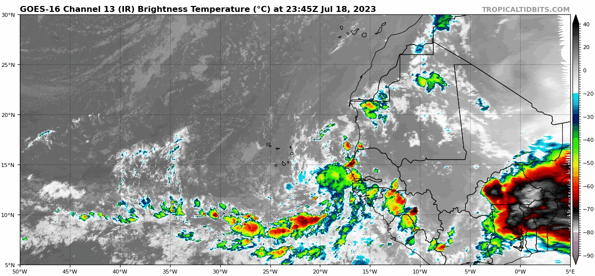
Teban54 wrote:This looks like something that would have been developing immediately off the coast if there was less dry air around.
https://i.postimg.cc/8cj1jjY0/goes16-ir-eatl-1.gif

LarryWx wrote:Teban54 wrote:This looks like something that would have been developing immediately off the coast if there was less dry air around.
https://i.postimg.cc/8cj1jjY0/goes16-ir-eatl-1.gif
Are any models developing what's associated with that large area of convection over Africa?

LarryWx wrote:Teban54 wrote:This looks like something that would have been developing immediately off the coast if there was less dry air around.
https://i.postimg.cc/8cj1jjY0/goes16-ir-eatl-1.gif
Are any models developing what's associated with that large area of convection over Africa?

hurricane2025 wrote:Ensembles went off the chain though


cycloneye wrote:12z Euro with wave behind 95L that will emerge from West Africa in a couple of days.
https://i.imgur.com/tNcSi53.gif
Cpv17 wrote:cycloneye wrote:12z Euro with wave behind 95L that will emerge from West Africa in a couple of days.
https://i.imgur.com/tNcSi53.gif
The thing is, models had this same thing happening for 95L a few days ago…
Teban54 wrote:Cpv17 wrote:cycloneye wrote:12z Euro with wave behind 95L that will emerge from West Africa in a couple of days.
https://i.imgur.com/tNcSi53.gif
The thing is, models had this same thing happening for 95L a few days ago…
https://twitter.com/dmorris9661/status/1682788415329189888?t=lCYNJCC_v16UNtp1jKKzKA&s=19
Users browsing this forum: JaviT, StPeteMike and 311 guests


