

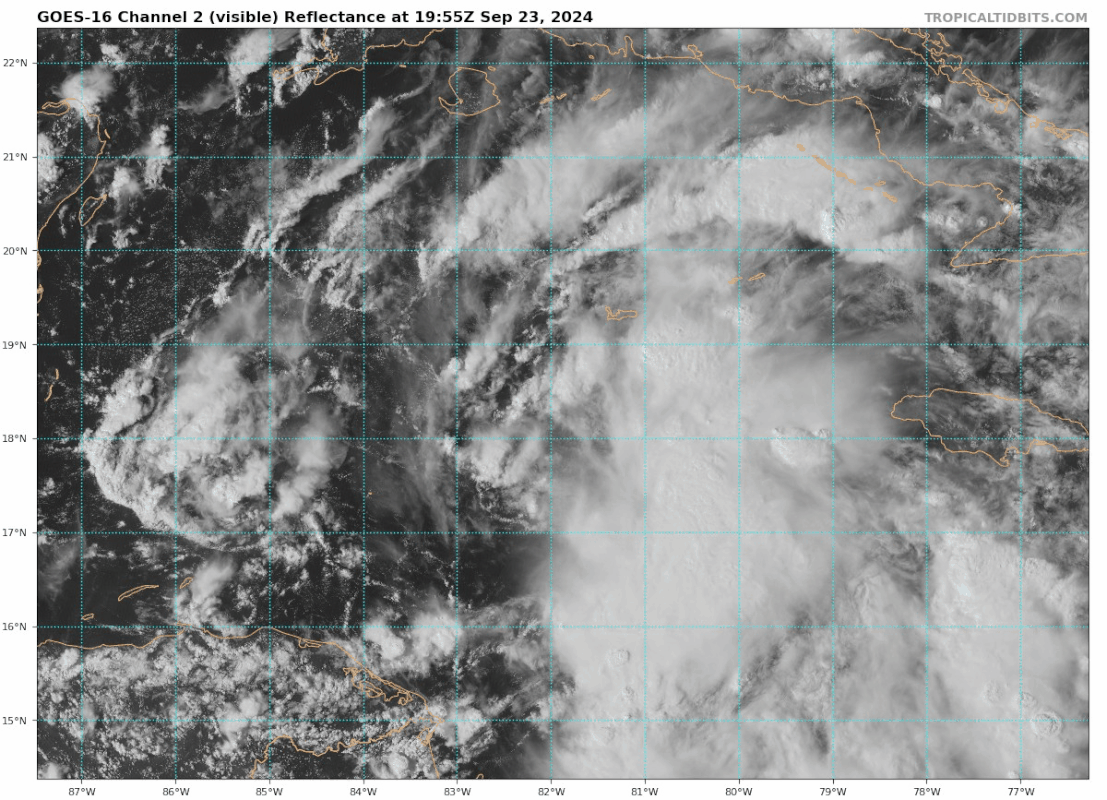
xironman wrote:Upper level winds abating over it as predicted by NHC, we may have a core by tonight's flight
https://i.imgur.com/zSqpgWD.gif
Agreed. Hopefully this takes its time getting stacked because once it does, it’s off to the races. I am a little concerned that the global models are underestimating how quickly this could intensify once it gets the kinks worked out. Not to the HAFS levels, but this feels like a fairly easy call for major hurricane intensity.


