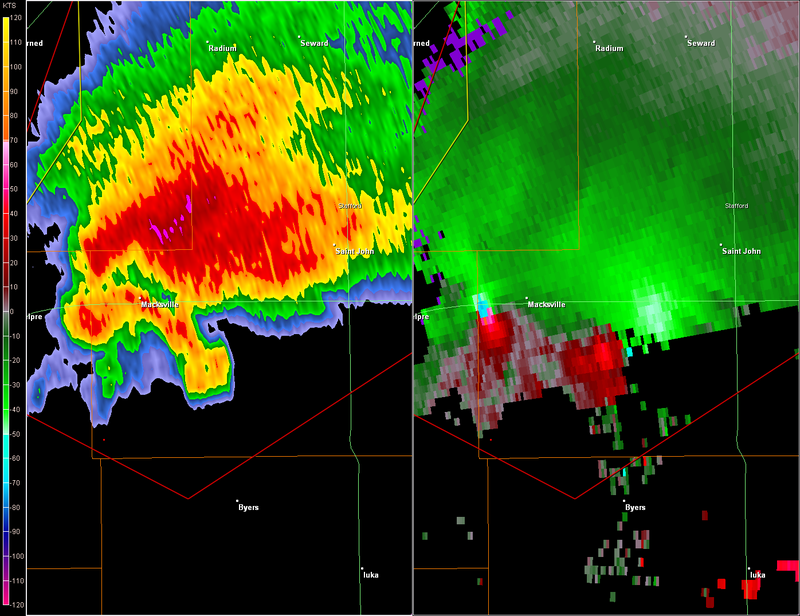
RL3AO wrote:Rotation couplet on that cell is a tad over 1 nm wide.
What are the shear markers showing?
Moderator: S2k Moderators


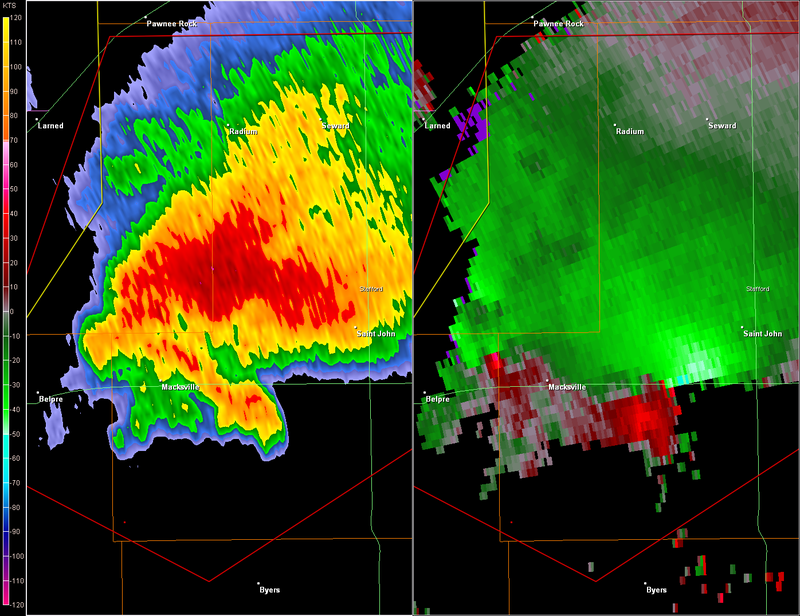
RL3AO wrote:Rotation couplet on that cell is a tad over 1 nm wide.

RL3AO wrote:Rotation couplet on that cell is a tad over 1 nm wide.
RL3AO wrote:
6SpeedTA95 wrote:That didn't take long, that new couplet is substantially further west and is pretty strong.
RL3AO wrote:6SpeedTA95 wrote:That didn't take long, that new couplet is substantially further west and is pretty strong.
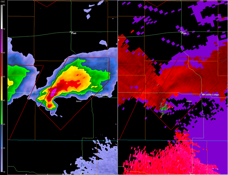
Thats the old one. The new one is in the hook to the SE. That west one is moving in a WNW direction and the cell is moving NE.
Return to “USA & Caribbean Weather”
Users browsing this forum: HockeyTx82, SnowyOwl31 and 141 guests