Jeff Master's new blog
It's time to leave New Orleans
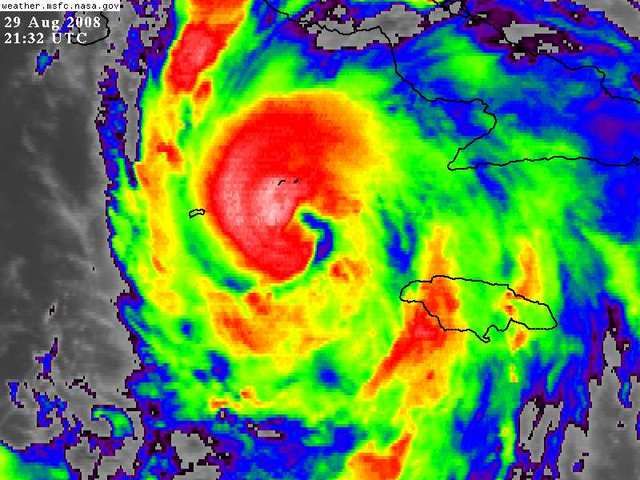
Today is the 3rd anniversary of Hurricane Katrina's catastrophic hit on the Louisiana/Mississippi/Alabama coast.
Unfortunately, I think that people living in New Orleans should mark the anniversary of Katrina by getting the heck out of the city. You live at the bottom of a bowl, ten or so feet below sea level. This is not natural. Nature wants to fill up this bowl with huge quantities of Gulf of Mexico sea water. There is a storm capable of doing that bearing down on you. If you live in New Orleans, I suggest you take a little Labor Day holiday--sooner, rather than later, to beat the rush--and get out of town. Gustav is going to come close to you, and there's no sense messing with a major hurricane capable of pushing a Category 3 storm surge to your doorstep. Don't test those Category 3 rated--but untested--levees. Conventional pre-Katrina wisdom suggested that the city needed 72 hours to evacuate. With the population about half of the pre-Katrina population, that lead time is about 60 hours. With Gustav likely to bring tropical storm force winds to the city by Monday afternoon, that means that tonight is a good time to start evacuating--Saturday morning at the latest. Voluntary evacuations have already begun, which is a good idea.
http://www.wunderground.com/blog/JeffMasters/show.html