Disturbance fizzeled in Eastern Atlantic

This is the general tropical discussion area. Anyone can take their shot at predicting a storms path.

Moderator: S2k Moderators

Forum rules

The posts in this forum are NOT official forecasts and should not be used as such. They are just the opinion of the poster and may or may not be backed by sound meteorological data. They are NOT endorsed by any professional institution or STORM2K. For official information, please refer to products from the National Hurricane Center and National Weather Service.

Help Support Storm2K
Message
Author
User avatar
Gustywind
Category 5
Category 5
Posts: 12334
Joined: Mon Sep 03, 2007 7:29 am
Location: Baie-Mahault, GUADELOUPE

Re: Disturbed weather in Eastern Atlantic

#61 Postby Gustywind » Fri Jul 31, 2009 1:08 pm

tolakram wrote:http://cimss.ssec.wisc.edu/tropic2/real-time/salmain.php?&prod=splitE&time=

Image

Doesn't look good for anything to form.

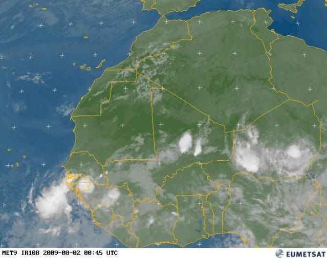
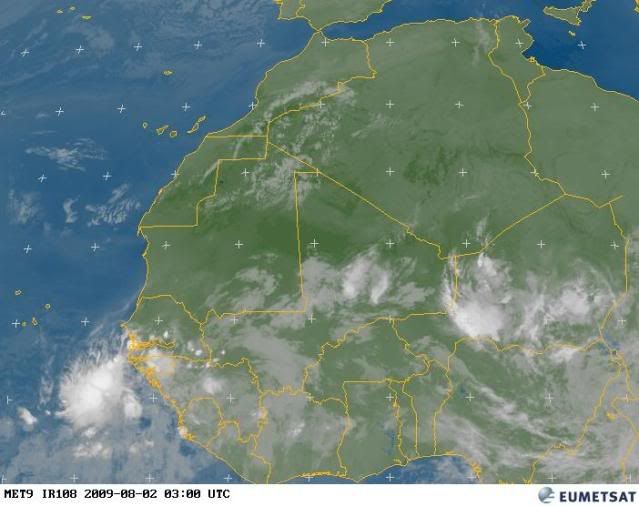
Yeah for sure...but looking further east a huge wave is on Africa, let's see if conditions could be more conducive for a possible window of opportunity :?: :roll.
0 likes   

User avatar
Gustywind
Category 5
Category 5
Posts: 12334
Joined: Mon Sep 03, 2007 7:29 am
Location: Baie-Mahault, GUADELOUPE

#62 Postby Gustywind » Fri Jul 31, 2009 1:14 pm

Image
0 likes   

Sanibel
Category 5
Category 5
Posts: 10375
Joined: Mon Aug 30, 2004 11:06 pm
Location: Offshore SW Florida

Re: Disturbed weather in Eastern Atlantic

#63 Postby Sanibel » Fri Jul 31, 2009 2:46 pm

Those waves have great spin but the prevailing atmospheric is drying them right up. Even before they get over water. I wouldn't be surprised if the spin was at the wrong level.
0 likes   

User avatar
cycloneye
Admin
Admin
Posts: 143879
Age: 68
Joined: Thu Oct 10, 2002 10:54 am
Location: San Juan, Puerto Rico

Re: Strong Wave about to emerge from African Coast

#64 Postby cycloneye » Fri Jul 31, 2009 3:17 pm

I was going to let die the thread,but I saw 2 models wanting to do something with it so I will give the thread the last hurrah for the system that is going to emerge late Saturday or on Sunday morning.If this system turns into a invest,or nothing occurs with it,this thread will go down the pages either way.

This image updates every half an hour.Click the symbol to see a closeup.

Image
0 likes   

User avatar
Gustywind
Category 5
Category 5
Posts: 12334
Joined: Mon Sep 03, 2007 7:29 am
Location: Baie-Mahault, GUADELOUPE

#65 Postby Gustywind » Fri Jul 31, 2009 11:42 pm

Is the train is rolling right now? Looking extremely further east on the sat pic, another HUGE wave can be seen :eek: SAL has begun to relax, maybe higher chances to see something more decent?
Image
0 likes   

User avatar
Gustywind
Category 5
Category 5
Posts: 12334
Joined: Mon Sep 03, 2007 7:29 am
Location: Baie-Mahault, GUADELOUPE

#66 Postby Gustywind » Sat Aug 01, 2009 7:41 am

Sat Pic from Africa and the activity...
Image

Wayne Verno, Lead Meteorologist, The Weather Channel
Aug. 1, 2009 4:51 am ET

The Atlantic tropical basin is expected to continue to remain quiet through this weekend.
0 likes   

User avatar
cycloneye
Admin
Admin
Posts: 143879
Age: 68
Joined: Thu Oct 10, 2002 10:54 am
Location: San Juan, Puerto Rico

Re: Strong wave about to emerge from West Africa

#67 Postby cycloneye » Sat Aug 01, 2009 7:51 am

Dont be distracted by the convection that is in the coastline,as the wave axis is still well inland.57,this is your last chance to get the first named system on or before August 8. :)
0 likes   

jinftl
Category 5
Category 5
Posts: 4312
Joined: Tue Aug 31, 2004 4:47 pm
Location: fort lauderdale, fl

Re: Strong wave about to emerge from West Africa

#68 Postby jinftl » Sat Aug 01, 2009 7:58 am

May need another week following August 8th for things to start potentially getting more interesting...

Excerpt from Dr. Jeff Master's blog yesterday:

However, wind shear has been slowly falling over the southern portion of the Caribbean and southern MDR (Main Development Region) over the past week, and is forecast by the GFS model to fall to near-average levels by mid-August. This should present a more favorable environment for hurricanes to form in by mid-month.

cycloneye wrote:Dont be distracted by the convection that is in the coastline,as the wave axis is still well inland.57,this is your last chance to get the first named system on or before August 8. :)
0 likes   

User avatar
Gustywind
Category 5
Category 5
Posts: 12334
Joined: Mon Sep 03, 2007 7:29 am
Location: Baie-Mahault, GUADELOUPE

#69 Postby Gustywind » Sat Aug 01, 2009 9:56 am

Interresting latest paragraph...

Wayne Verno, Lead Meteorologist, The Weather Channel
Aug. 1, 2009 8:55 am ET


In the Atlantic Basin, there are three tropical waves from the western Caribbean to the far eastern Atlantic.

No development is expected with the Caribbean wave, however an interaction with strong westerly winds aloft is producing showers and thunderstorms near Central America

The two Atlantic waves are of no concern at this time and contain very little, if any, shower activity.

A low pressure area will move off western Africa by tomorrow and will be monitored as it moves into a dry, stable environment.

http://www.weather.com/newscenter/hurri ... om=hp_news
0 likes   

User avatar
cycloneye
Admin
Admin
Posts: 143879
Age: 68
Joined: Thu Oct 10, 2002 10:54 am
Location: San Juan, Puerto Rico

Re: Strong wave about to emerge from West Africa

#70 Postby cycloneye » Sat Aug 01, 2009 1:05 pm

As I said earlier,the wave axis with a low pressure is still well inland.It looks like a mid-level circulation.

Image
0 likes   

User avatar
cycloneye
Admin
Admin
Posts: 143879
Age: 68
Joined: Thu Oct 10, 2002 10:54 am
Location: San Juan, Puerto Rico

Re: Strong wave about to emerge from West Africa

#71 Postby cycloneye » Sat Aug 01, 2009 3:08 pm

Here is a diagram of where is the low pressure in the wave axis that is still well inland.

Image
0 likes   

User avatar
cycloneye
Admin
Admin
Posts: 143879
Age: 68
Joined: Thu Oct 10, 2002 10:54 am
Location: San Juan, Puerto Rico

Re: Strong wave about to emerge from West Africa

#72 Postby cycloneye » Sat Aug 01, 2009 7:31 pm

Some convection forming near the low pressure not yet over water.The real test for this system in terms of its future will be as soon it hits the water.See image that updates every half an hour at the first post of thread.
0 likes   

User avatar
Gustywind
Category 5
Category 5
Posts: 12334
Joined: Mon Sep 03, 2007 7:29 am
Location: Baie-Mahault, GUADELOUPE

#73 Postby Gustywind » Sat Aug 01, 2009 8:11 pm

Shear is continuing to decrease in the Atlantic, maybe more conducive conditions...Will it be sufficient to see something to (try) form? It's the 10000$ question . As Cycloneye brightly mentionned it in the previous post : " The real test for this system in terms of its future will be as soon it hits the water", and, he's somewhat in my opinion pretty right . Let's wait and see 8-).
http://cimss.ssec.wisc.edu/tropic/real- ... g8sht.html
0 likes   

jinftl
Category 5
Category 5
Posts: 4312
Joined: Tue Aug 31, 2004 4:47 pm
Location: fort lauderdale, fl

Re:

#74 Postby jinftl » Sat Aug 01, 2009 8:19 pm

Completely fizzling and losing all identity as soon as it hit water would definitely make development look unlikely, but not sure if you mean that if it doesn't immediately develop, say into a td, near or even over the CV islands, than it has no chance? A disorganized system...but a system nonetheless...could encounter more favorable conditions in the open atlantic. Generally, immediately development off of africa is the calling card of a 'fish'.

Gustywind wrote:Shear is continuing to decrease in the Atlantic, maybe more conducive conditions...Will it be sufficient to see something to (try) form? It's the 10000$ question . As Cycloneye brightly mentionned it in the previous post : " The real test for this system in terms of its future will be as soon it hits the water", and, he's somewhat in my opinion pretty right . Let's wait and see 8-).
http://cimss.ssec.wisc.edu/tropic/real- ... g8sht.html
0 likes   

User avatar
HURAKAN
Professional-Met
Professional-Met
Posts: 46086
Age: 38
Joined: Thu May 20, 2004 4:34 pm
Location: Key West, FL
Contact:

#75 Postby HURAKAN » Sat Aug 01, 2009 8:23 pm

Image

Worth watching. (Nothing else in town!!)
0 likes   

User avatar
cycloneye
Admin
Admin
Posts: 143879
Age: 68
Joined: Thu Oct 10, 2002 10:54 am
Location: San Juan, Puerto Rico

Re: Strong wave about to emerge from West Africa

#76 Postby cycloneye » Sat Aug 01, 2009 9:15 pm

Sandy aka HURAKAN said it (The only game in town).Looking better with each frame.

Image
0 likes   

User avatar
HURAKAN
Professional-Met
Professional-Met
Posts: 46086
Age: 38
Joined: Thu May 20, 2004 4:34 pm
Location: Key West, FL
Contact:

Re: Strong wave emerging from West Africa

#77 Postby HURAKAN » Sat Aug 01, 2009 10:29 pm

Image

Latest. Looking good for now.
0 likes   

Ed Mahmoud

Re: Strong wave in far Eastern Atlantic (Possible development?)

#78 Postby Ed Mahmoud » Sat Aug 01, 2009 10:57 pm

Bed time approaches, don't want to be yawning at Mass...


GFS has started, and has a nice disturbance, closed at 850 mb, in 3 days.

Image

ETA:

No idea if I believe it, but it is a 25 knot TD then...

Image
0 likes   

Sanibel
Category 5
Category 5
Posts: 10375
Joined: Mon Aug 30, 2004 11:06 pm
Location: Offshore SW Florida

Re: Strong wave in far Eastern Atlantic (Possible development?)

#79 Postby Sanibel » Sat Aug 01, 2009 11:47 pm

Reconvected over water. Hmm.
0 likes   

Scorpion

Re: Strong wave in far Eastern Atlantic (Possible development?)

#80 Postby Scorpion » Sun Aug 02, 2009 3:15 am

Is this the same wave with model support?
0 likes   


Return to “Talkin' Tropics”

Who is online

Users browsing this forum: Google Adsense [Bot], MarioProtVI, Sciencerocks, StormWeather and 196 guests