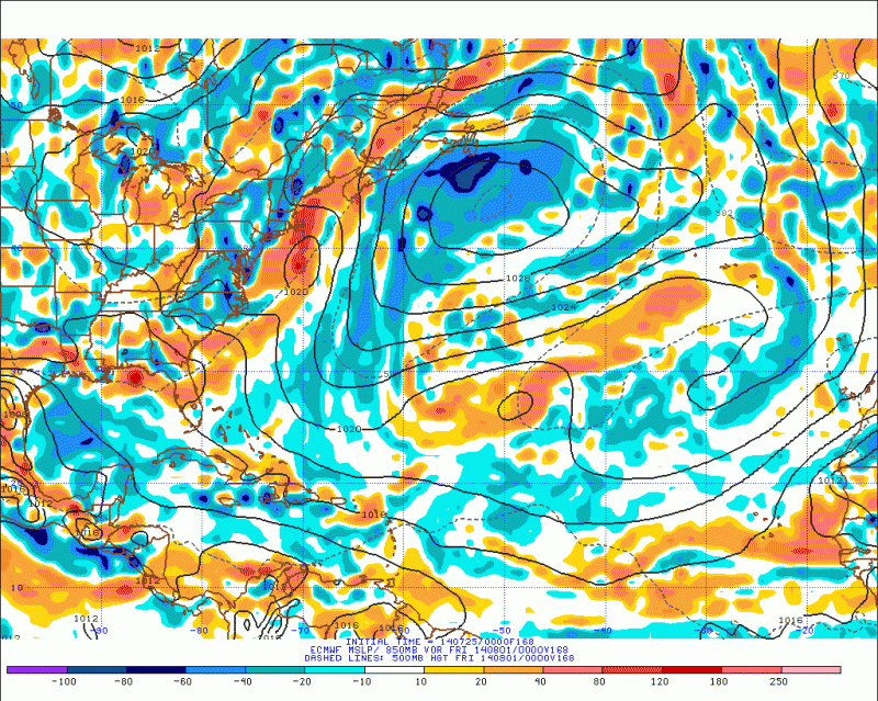
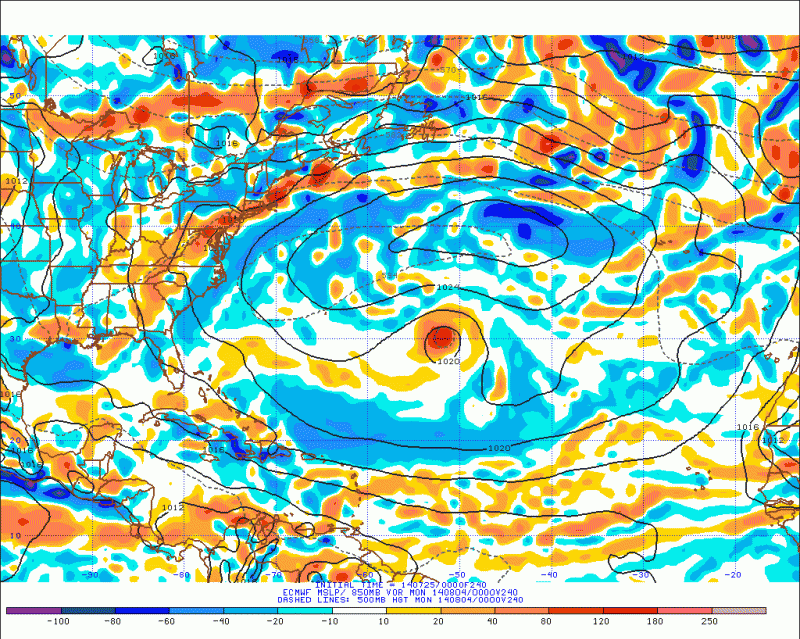
Global model runs discussion

Moderator: S2k Moderators

Message
Author
TheStormExpert

Re: Global Model Runs Discussion

#7041 Postby TheStormExpert » Wed Jul 23, 2014 8:33 pm

100feettstormsurge wrote:
TheStormExpert wrote:Yeah definitely not looking good at all the remainder of the season for any Tropical Cyclone activity in the Atlantic basin. Even homegrown/close-in development for the remainder of the season now seems iffy to me.


It still only takes one for a huge impact, and there's a lot of time since any effects of El Nino won't be felt for weeks, if not months.

Actually some El Niño effects have already been felt for a while now. With the higher than shear across the MDR regions in past months on the Atlantic side, and the record breaking strong early start to the East Pacific hurricane season with Amanda and Cristina being very early season Cat.4 hurricanes.
0 likes   

User avatar
SFLcane
S2K Supporter
S2K Supporter
Posts: 10163
Age: 47
Joined: Sat Jun 05, 2010 1:44 pm
Location: Lake Worth Florida

Re: Global Model Runs Discussion

#7042 Postby SFLcane » Wed Jul 23, 2014 9:05 pm

stormlover2013 wrote:Lol it's not even August yet, long ways to go


Season is over reading some of these posts.. :spam:
0 likes   

TheStormExpert

Re: Global Model Runs Discussion

#7043 Postby TheStormExpert » Wed Jul 23, 2014 9:24 pm

SFLcane wrote:
stormlover2013 wrote:Lol it's not even August yet, long ways to go


Season is over reading some of these posts.. :spam:

I'm surprised there hasn't been a Season Cancel thread yet.
0 likes   

User avatar
gatorcane
S2K Supporter
S2K Supporter
Posts: 23691
Age: 47
Joined: Sun Mar 13, 2005 3:54 pm
Location: Boca Raton, FL

#7044 Postby gatorcane » Wed Jul 23, 2014 10:02 pm

While the global models are not enthusiast about development anytime soon, the GFS and CMC (GEM) models are both showing some lowering of pressures SW of the Cape Verde islands in about one week from now.

Nothing from the ECMWF yet but let's see if the models are trying to latch onto something out there. Still early to expect development that far but getting closer to the start of the Cape Verde season.

12Z GFS 186 hours:
Image

12Z CMC 186 hours:
Image
0 likes   

User avatar
Hurricaneman
Category 5
Category 5
Posts: 7351
Age: 45
Joined: Tue Aug 31, 2004 3:24 pm
Location: central florida

Re: Global Model Runs Discussion

#7045 Postby Hurricaneman » Wed Jul 23, 2014 11:07 pm

I know that the Euro shows nothing much in the Atlantic but if I were to go off of its MJO forecast there may be a favorable period between the last few days of the month to mid August and it does a lot better than the GFS with the MJO so this may cause an increase in vertical instability and possibly an interesting time in the Atlantic

The posts in this forum are NOT official forecast and should not be used as such. They are just the opinion of the poster and may or may not be backed by sound meteorological data. They are NOT endorsed by any professional institution or storm2k.org. For official information, please refer to the NHC and NWS products
0 likes   

User avatar
blp
Category 5
Category 5
Posts: 2840
Age: 46
Joined: Thu Sep 09, 2004 7:51 pm
Location: Miami, FL
Contact:

Re: Global Model Runs Discussion

#7046 Postby blp » Wed Jul 23, 2014 11:24 pm

The MJO is on its way next month to the Atlantic just in time for the heart of the cape verde season. I expect the models to start picking up on something very soon in the long range.

Image
0 likes   
The following post is NOT an official forecast and should not be used as such. It is just the opinion of the poster and may or may not be backed by sound meteorological data. It is NOT endorsed by any professional institution including storm2k.org For Official Information please refer to the NHC and NWS products.

CYCLONE MIKE
Category 5
Category 5
Posts: 2183
Joined: Tue Aug 31, 2004 6:04 pm
Location: Gonzales, LA

Re: Global Model Runs Discussion

#7047 Postby CYCLONE MIKE » Wed Jul 23, 2014 11:28 pm

stormlover2013 wrote:Lol it's not even August yet, long ways to go


And this was said 100x's over last season and nothing ever changed. Wait til the first of august, just wait three more weeks, now just two more weeks. No wait til sept 10 then things will take off. Conditions are terrible and have been. And it is early winter like. We are having cold fronts dropping all the way down to the gulf coast just like last year, as well as strong east coast troughs hanging tough.
0 likes   

User avatar
Hurricaneman
Category 5
Category 5
Posts: 7351
Age: 45
Joined: Tue Aug 31, 2004 3:24 pm
Location: central florida

Re: Global Model Runs Discussion

#7048 Postby Hurricaneman » Wed Jul 23, 2014 11:36 pm

blp wrote:The MJO is on its way next month to the Atlantic just in time for the heart of the cape verde season. I expect the models to start picking up on something very soon in the long range.

Image


yep and shows the MJO starting to become favorable by the beginning of next month, that really never happened last year
0 likes   

jlauderdal
S2K Supporter
S2K Supporter
Posts: 7183
Joined: Wed May 19, 2004 5:46 am
Location: NE Fort Lauderdale
Contact:

Re:

#7049 Postby jlauderdal » Thu Jul 24, 2014 7:31 am

TheStormExpert wrote:Yeah definitely not looking good at all the remainder of the season for any Tropical Cyclone activity in the Atlantic basin. Even homegrown/close-in development for the remainder of the season now seems iffy to me.


if this troughing continues like its october then homegorwn will be the only game in town, lets see;; we are just getting underway..we can regroup in 3 weeks and see where we are at
0 likes   

tolakram
Admin
Admin
Posts: 20010
Age: 62
Joined: Sun Aug 27, 2006 8:23 pm
Location: Florence, KY (name is Mark)

Re: Global Model Runs Discussion

#7050 Postby tolakram » Thu Jul 24, 2014 9:31 am

This is the global model run thread, let's completely cut the chatter about what people think of this hurricane season and move it to a more appropriate thread.

Like this one: viewtopic.php?f=31&t=116017&start=240
Last edited by tolakram on Thu Jul 24, 2014 11:22 am, edited 1 time in total.
Reason: changed thread link
0 likes   
M a r k
- - - - -
Join us in chat: Storm2K Chatroom Invite. Android and IOS apps also available.

The posts in this forum are NOT official forecasts and should not be used as such. Posts are NOT endorsed by any professional institution or STORM2K.org. For official information and forecasts, please refer to NHC and NWS products.

User avatar
gatorcane
S2K Supporter
S2K Supporter
Posts: 23691
Age: 47
Joined: Sun Mar 13, 2005 3:54 pm
Location: Boca Raton, FL

#7051 Postby gatorcane » Thu Jul 24, 2014 8:23 pm

12Z Model runs at 192 hours (Aug 1st):

Euro showing a large wave near the Cape Verde islands:
Image

GFS showing a broad area of low pressure SW of the Cape Verde islands:
Image

CMC showing a weak low pressure SW of the Cape Verde islands at 192 hours:
Image
0 likes   

User avatar
Hurricaneman
Category 5
Category 5
Posts: 7351
Age: 45
Joined: Tue Aug 31, 2004 3:24 pm
Location: central florida

#7052 Postby Hurricaneman » Thu Jul 24, 2014 8:40 pm

It seems that the models are showing something around 192hrs which coincides with the MJO coming into phases 1 and 2

The posts in this forum are NOT official forecast and should not be used as such. They are just the opinion of the poster and may or may not be backed by sound meteorological data. They are NOT endorsed by any professional institution or storm2k.org. For official information, please refer to the NHC and NWS products
0 likes   

ninel conde

#7053 Postby ninel conde » Fri Jul 25, 2014 5:01 am

http://moe.met.fsu.edu/cgi-bin/ecmwf-op ... hour=240hr

latest euro shows well above normal pressures off africa in 10 days. maybe some kind of vorticity will be out there but there is no way anything will form in those high pressures, sinking air and bone dry conditions.
0 likes   

User avatar
NDG
S2K Supporter
S2K Supporter
Posts: 15446
Joined: Sun Jul 09, 2006 10:14 pm
Location: Orlando, FL

Re: Global Model Runs Discussion

#7054 Postby NDG » Fri Jul 25, 2014 7:30 am

:uarrow: The Euro however shows possible subtropical/tropical development in the subtropical Atlantic from a retrograding UL trough in the middle of the Atlantic in its 7-10 day range.

Image
Image

Also, look at the huge ridge at H50 it builds in the NW Atlantic, wow!
0 likes   

Dean4Storms
S2K Supporter
S2K Supporter
Posts: 6358
Age: 62
Joined: Sun Aug 31, 2003 1:01 pm
Location: Miramar Bch. FL

#7055 Postby Dean4Storms » Fri Jul 25, 2014 7:31 am

Well the MJO gives us a more favorable atmosphere instability wise. But models beyond 5 days are not reliable so until we get continuity and a consensus building with the global models I will not hold my breath for the MDR that far out.
0 likes   

tolakram
Admin
Admin
Posts: 20010
Age: 62
Joined: Sun Aug 27, 2006 8:23 pm
Location: Florence, KY (name is Mark)

Re: Global Model Runs Discussion

#7056 Postby tolakram » Fri Jul 25, 2014 8:24 am

Here's a look at the GFS 500mb relative humidity from the 6z run.

0
Image

90
Image

180
Image


source: http://moe.met.fsu.edu/cgi-bin/gfstc2.cgi?time=2014072506&field=500mb+Relative+Humidity&hour=Animation
0 likes   
M a r k
- - - - -
Join us in chat: Storm2K Chatroom Invite. Android and IOS apps also available.

The posts in this forum are NOT official forecasts and should not be used as such. Posts are NOT endorsed by any professional institution or STORM2K.org. For official information and forecasts, please refer to NHC and NWS products.

tolakram
Admin
Admin
Posts: 20010
Age: 62
Joined: Sun Aug 27, 2006 8:23 pm
Location: Florence, KY (name is Mark)

Re: Global Model Runs Discussion

#7057 Postby tolakram » Fri Jul 25, 2014 8:30 am

:uarrow: So if the GFS forecast is correct a big push of moist air is coming off Africa at 180-192 hours. Question is, will this moisten up the upper air desert that is out there now?
0 likes   
M a r k
- - - - -
Join us in chat: Storm2K Chatroom Invite. Android and IOS apps also available.

The posts in this forum are NOT official forecasts and should not be used as such. Posts are NOT endorsed by any professional institution or STORM2K.org. For official information and forecasts, please refer to NHC and NWS products.

User avatar
ConvergenceZone
Category 5
Category 5
Posts: 5194
Joined: Fri Jul 29, 2005 1:40 am
Location: Northern California

Re: Global Model Runs Discussion

#7058 Postby ConvergenceZone » Fri Jul 25, 2014 9:18 am

Wow, getting ready to enter August in about a week and still no sign of anything, thus I'm sticking by my prediction of only making it to the "G" storm...
0 likes   

User avatar
gatorcane
S2K Supporter
S2K Supporter
Posts: 23691
Age: 47
Joined: Sun Mar 13, 2005 3:54 pm
Location: Boca Raton, FL

#7059 Postby gatorcane » Fri Jul 25, 2014 8:48 pm

The 18Z GFS shows a low forming in the MDR around August 1st and moves the low west through the lesser Antilles and into the Caribbean.

168 hours, low is just west of 40W:
Image
0 likes   

User avatar
Hurricaneman
Category 5
Category 5
Posts: 7351
Age: 45
Joined: Tue Aug 31, 2004 3:24 pm
Location: central florida

#7060 Postby Hurricaneman » Fri Jul 25, 2014 11:58 pm

The 0zGFS seems to develop something around 48hrs from a piece of ITCZ vorticity closing off a low around 120hrs so is this one of those GFS phantom storms or is this a legit possibility and has it in the Bahamas at 252 FYI but it may need to be watched in case of a similar pinch off to TD2 and the reason I think this may be a possibility is that the MJO seems to becoming into the Atlantic around the first of August

The posts in this forum are NOT official forecast and should not be used as such. They are just the opinion of the poster and may or may not be backed by sound meteorological data. They are NOT endorsed by any professional institution or storm2k.org. For official information, please refer to the NHC and NWS products.
0 likes   


Return to “2015”

Who is online

Users browsing this forum: No registered users and 3 guests