The Escambray Mountains are located in the south-central region of the island, extending about 80 kilometers (50 mi) from east to west, and 80 kilometers (50 mi) from north to south.
Their highest peak, Pico San Juan, rises to 960 m (3,150 ft) above sea level. The Escambray range is divided into two sections by the Agabama River. The western part is called the Guamuhaya Mountains, and the eastern part, raising between Trinidad and Sancti Spiritus, is best known as Sierra de Sancti Spiritus. After Pico San Juan, the highest points are Caballete de Casas, Gavilanes, Loma de Banao, Caja de Agua, and Pico Tuerto.
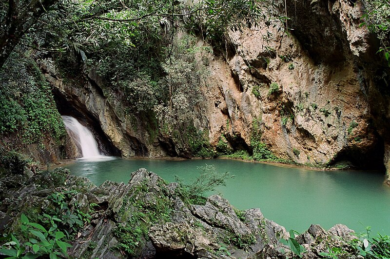
Topes de Collantes is a nature reserve park established in the south-eastern ranges of Escambray Mountains, protecting and showcasing caves, rivers, waterfalls, and canyons. The Valley de los Ingenios is developed at the south-eastern foot of the mountains, and is a UNESCO World Heritage Site.
Link:
http://en.wikipedia.org/wiki/Escambray_MountainsAlso found there: