ATL: Ex COLIN - Discussion
Moderator: S2k Moderators
-
gatorcane

- S2K Supporter

- Posts: 23708
- Age: 48
- Joined: Sun Mar 13, 2005 3:54 pm
- Location: Boca Raton, FL
I can't even make out a center or LLC any longer. This thing looks like it has opened up into a wave, heading just a bit north of due west at the moment....maybe no Colin out of this afterall?
Last edited by gatorcane on Mon Aug 02, 2010 8:26 pm, edited 1 time in total.
0 likes

Re: Re:
hurricaneCW wrote:gatorcane wrote:this thing rmeinds me alot of Bonnie in appearance doesn't it? What's up with the hostile conditions this year? Granted its only Aug. 2...
These tropical sytems are no match for what is out there right now eating them alive.
It's very hostile, reminds me of 2006. Maybe no major hurricanes this year?
Ah...conditions can turn on a dime and other parts of the basin aren't as hostile. Watch the eastern caribbean wave. Besides, the heart of the season hasn't even started.
0 likes
-
vbhoutex

- Storm2k Executive

- Posts: 29149
- Age: 74
- Joined: Wed Oct 09, 2002 11:31 pm
- Location: Cypress, TX
- Contact:
Re: ATL : Tropical Depression Four - DISCUSSION
redfish1 wrote:does anyone think this will enter the GOM??
It is way too early to prognosticate on that. According to current modeling it doesn't appear that it will be a GOM threat.
0 likes
Skywarn, C.E.R.T.
Please click below to donate to STORM2K to help with the expenses of keeping the site going:

Please click below to donate to STORM2K to help with the expenses of keeping the site going:
-
cycloneye

- Admin
- Posts: 149603
- Age: 69
- Joined: Thu Oct 10, 2002 10:54 am
- Location: San Juan, Puerto Rico
Re: ATL : Tropical Depression Four - DISCUSSION
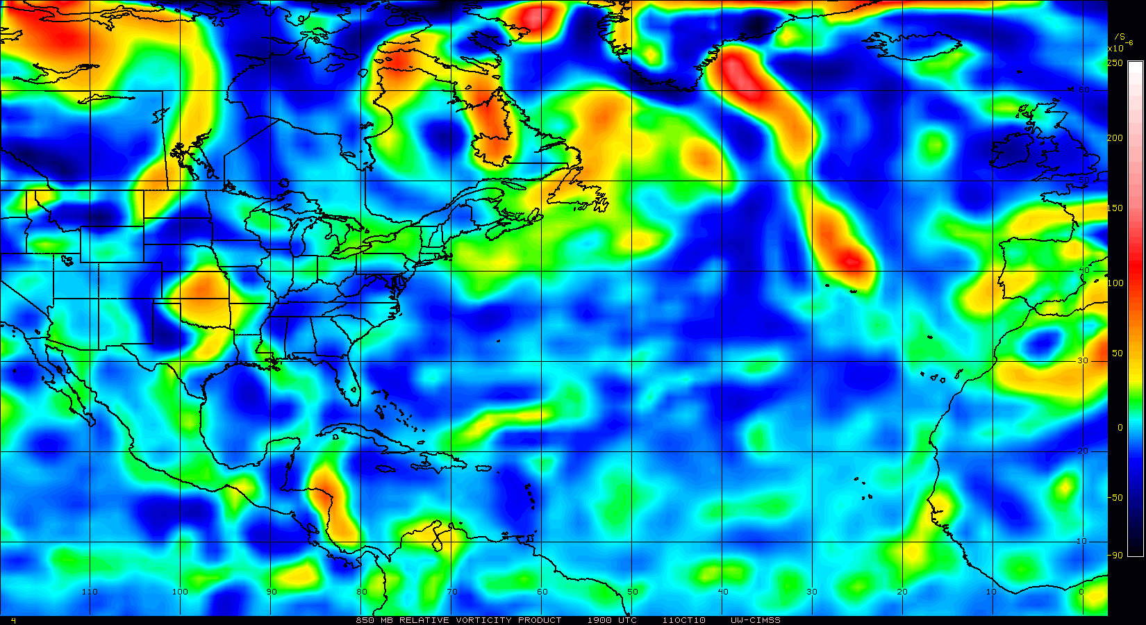
Vorticity has increased.
0 likes
Visit the Caribbean-Central America Weather Thread where you can find at first post web cams,radars
and observations from Caribbean basin members Click Here
and observations from Caribbean basin members Click Here
-
Air Force Met
- Military Met

- Posts: 4372
- Age: 57
- Joined: Tue Jul 08, 2003 9:30 am
- Location: Roan Mountain, TN
Re: ATL : Tropical Depression Four - DISCUSSION
ozonepete wrote:I think everyone should remember what wxman57 said about not looking at the blob of convection to determine the movement. The center of circulation still looks like it's moving west-northwest as far as I can tell. Just watch the RGB or visible loops. And the nose (forward edge) of that big ridge that it's riding under is moving forward even faster and will soon merge into the overall Bermuda high, and then this low may very well slow down a little. So I don't see anything wrong with the NHC forecast right now.
You are correct. The LLC appears to be a good 50-100 miles east of the heaviest convection. I think it is probably a little south of the best track...but not by much. That means it is moving right on track. Not to the left of the track. If it is up at 13.4/44.1...that means its moving a little right of the forecast track...
0 likes
-
vacanechaser

- Category 5

- Posts: 1461
- Joined: Wed Dec 03, 2003 9:34 pm
- Location: Portsmouth, Va
- Contact:
Re: ATL : Tropical Depression Four - DISCUSSION
cycloneye wrote:Vorticity has increased.
interesting considering how it looks right about now.... lol
Jesse V. Bass III
http://www.vastormphoto.com
Hurricane Intercept Research Team
0 likes

Re: ATL : Tropical Depression Four - DISCUSSION
The bulletin of 11:00 this morning indicated that the system should be near Lat 13.5 Lon. 44.0 for the bulletin by 11:00 pm. the system is located near 46.1 Lon.
0 likes
-
wxman57

- Moderator-Pro Met

- Posts: 23175
- Age: 68
- Joined: Sat Jun 21, 2003 8:06 pm
- Location: Houston, TX (southwest)
Re:
gatorcane wrote:I can't even make out a center or LLC any longer. This thing looks like it has opened up into a wave, heading just a bit north of due west at the moment....maybe no Colin out of this after all?
I'm having a hard time identifying any LLC as well. Dvorak can be quite deceiving for a system with a questionable LLC. Could be near 13.2N/44W, which would be about 100 miles east of the convective blob. It doesn't appear as though this will be a TS any time soon.
0 likes
-
Air Force Met
- Military Met
- Posts: 4372
- Age: 57
- Joined: Tue Jul 08, 2003 9:30 am
- Location: Roan Mountain, TN
Re:
gatorcane wrote:The CMC may just have it right this time. TD is very weak and nearly a wave. That would mean it stays mostly on a 280 heading or so for the next several days where it starts to accelerate under a ridge that is moving in tandem with it (clearly seen on WV loops). That could put it very near or through the NE Leewards. Had it really been more organized, I think it would be already moving around 290 to 300 or so.
I think we'll see models shift left overtime but the system is likely going to remain weak due to the strong shear.
As I posted earlier this morning...I think if another team had been on shift...there is a chance this would not have been upgraded. I had a very difficult time finding any eastward moving clouds at the time of upgrade. I think it is very close to being open and probably has been close the entire time.
As I also said earlier...I would be not be surprised if there are only 5-10 kts of west winds south of the center....probably closer to 5...
0 likes

Re: ATL : Tropical Depression Four - DISCUSSION
Hugo1989 wrote:The bulletin of 11:00 this morning indicated that the system should be near Lat 13.5 Lon. 44.0 for the bulletin by 11:00 pm. the system is located near 46.1 Lon.
No need for the bright, big letters there Hugo.
Its going to be interesting if TD4 will be able to survive the shear, but the NHC seems confident that it will.
0 likes
-
Gustywind

- Category 5
- Posts: 12334
- Joined: Mon Sep 03, 2007 7:29 am
- Location: Baie-Mahault, GUADELOUPE
Re: ATL : Tropical Depression Four - DISCUSSION
cycloneye wrote:Vorticity has increased.
And what does it mean Luis? That TD4 overall is improving close to TS status???
0 likes
-
ConvergenceZone
.gif)
- Category 5
- Posts: 5241
- Joined: Fri Jul 29, 2005 1:40 am
- Location: Northern California
Re:
gatorcane wrote:this thing rmeinds me alot of Bonnie in appearance doesn't it? What's up with the hostile conditions this year? Granted its only Aug. 2...
These tropical sytems are no match for what is out there right now eating them alive.
Ya know Gator I was thinking the same thing last night...These systems don't have a chance out there. Everytime one of these sytems gets going, all I hear are the terms: shear, dry air, ULL, SAL...Will conditions ever change this year? Nobody knows, even if they say they do....
Last edited by ConvergenceZone on Mon Aug 02, 2010 8:38 pm, edited 1 time in total.
0 likes

-
Blown Away

- S2K Supporter
- Posts: 10253
- Joined: Wed May 26, 2004 6:17 am
Re: ATL : Tropical Depression Four - DISCUSSION
http://www.crownweather.com/?page_id=325
Edited by x-y-no
Again folks - DO NOT quote entire copyrighted posts.
Discussion
Tropical Depression #4:
Here is the 5 pm EDT/4 pm CDT Information On Tropical Depression #4:
Location: 13.0 North Latitude, 42.5 West Longitude.
Maximum Sustained Winds: 35 mph.
Movement: West-Northwest or 290 Degrees at a forward speed of 16 mph.
Minimum Central Pressure: 1006 millibars or 29.71 inches.
I wanted to post an evening discussion to talk primarily about newly upgraded Tropical Depression #4. TD 4 is slowly becoming better organized this evening and I suspect that this depression will be upgraded to Tropical Storm Colin sometime tonight or Tuesday morning. Outflow is currently being somewhat restricted on the east side of the storm, but has improved in other quadrants of the depression.
TD 4 seems to be tracking slightly north of due west at a forward speed of 16 mph. The latest model guidance suite is in good agreement on a west-northwest track over the next 2 to 3 days; in fact, the forward speed of this system may exceed 20 mph at times.
...
Edited by x-y-no
Again folks - DO NOT quote entire copyrighted posts.
0 likes
Hurricane Eye Experience: David 79, Irene 99, Frances 04, Jeanne 04, Wilma 05… Hurricane Brush Experience: Andrew 92, Erin 95, Floyd 99, Matthew 16, Irma 17, Ian 22, Nicole 22…
-
Air Force Met
- Military Met
- Posts: 4372
- Age: 57
- Joined: Tue Jul 08, 2003 9:30 am
- Location: Roan Mountain, TN
Re: ATL : Tropical Depression Four - DISCUSSION
Hugo1989 wrote:The bulletin of 11:00 this morning indicated that the system should be near Lat 13.5 Lon. 44.0 for the bulletin by 11:00 pm. the system is located near 46.1 Lon.
The center is not near 46.1...its near 44.1...
0 likes


-
cycloneye
- Admin
- Posts: 149603
- Age: 69
- Joined: Thu Oct 10, 2002 10:54 am
- Location: San Juan, Puerto Rico
Re: ATL : Tropical Depression Four - DISCUSSION
And what does it mean Luis? That TD4 overall is improving close to TS status???
It means the vortex is getting better defined according to the graphic.
0 likes
Visit the Caribbean-Central America Weather Thread where you can find at first post web cams,radars
and observations from Caribbean basin members Click Here
and observations from Caribbean basin members Click Here
-
expat2carib

- S2K Supporter
- Posts: 458
- Joined: Tue Jul 22, 2008 1:44 pm
- Location: Sint Maarten
Re:
Dean4Storms wrote:I think the trend is more westward from what we are seeing, this has to be due to the TD being kept in check convection wise from the dry air to its north and the fast forward speed which is indicative of a strong ridge!!!! I just don't see it gaining the latitude that for the past several runs all the models have been latched onto.
I would stay aware of this if I was in the Lesser Antilles and even the Windwards!!
I'm aware. I've been seeing this trend all day. Fact is that it's going too much west and that the function of westward and northward over time is not happening. It's going too much west. It's not gaining latitude enough to become a fish.
0 likes
-
hurricaneCW
- Category 5
- Posts: 1799
- Joined: Wed Mar 03, 2010 6:20 am
- Location: Toms River, NJ
Re: ATL : Tropical Depression Four - DISCUSSION
So this could be it. No Colin. If that's the case, we'll probably have to wait another 2 weeks for something to pop up. Honestly, this season is very typical. I'm starting to wonder if it'll even be above average. Something isn't right, why is the Atlantic so hostile when it should be very favorable? I just don't get it.
Anyway, as long as the blob is still there, it's not over, but either the dry air or shear will probably kill it.
Anyway, as long as the blob is still there, it's not over, but either the dry air or shear will probably kill it.
0 likes
-
Gustywind
- Category 5
- Posts: 12334
- Joined: Mon Sep 03, 2007 7:29 am
- Location: Baie-Mahault, GUADELOUPE
Re: ATL : Tropical Depression Four - DISCUSSION
cycloneye wrote:And what does it mean Luis? That TD4 overall is improving close to TS status???
It means the vortex is getting better defined according to the graphic.
Thanks for this info, i appreciate
0 likes
Who is online
Users browsing this forum: No registered users and 32 guests