https://s13.gifyu.com/images/bmZZF.png
Moderator: S2k Moderators


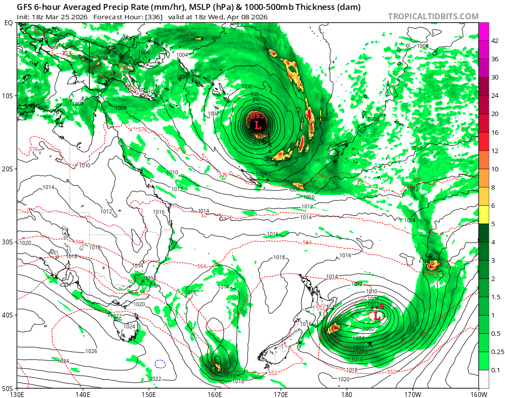
WaveBreaking wrote:Happy-hour GFS has 3 back-to-back frames of the soon-to-be SPAC system bottoming out at 898 mbar right next to Vanuatu.
Hurricane2022 wrote:WaveBreaking wrote:Happy-hour GFS has 3 back-to-back frames of the soon-to-be SPAC system bottoming out at 898 mbar right next to Vanuatu.
https://i.imgur.com/4Gs1KJq.png
GFS 06z today...895 mb
https://x.com/i/status/2037513107300622527
Users browsing this forum: hurricanes1234 and 223 guests