

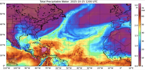
eastcoastFL wrote:The wind field is still extremely small with hurricane force wines reaching out just 25 miles from center. The surge and rain is still going to be the biggest issue but at least the worst of the winds will be somewhat isolated.
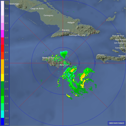
I measure the eye to be about 29 KM across which will provide plenty of ventilation.
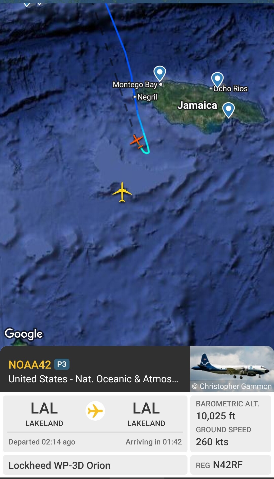
No need for an immediate EWRC unless she gets greedy.Trochoidal motion pretty much due west we aren't seeing a SW track shift as some models forecast.


