

AL, 99, 2014100812, , BEST, 0, 194N, 586W, 20, 1010, DB, 0, , 0, 0, 0, 0,
AL, 99, 2014100818, , BEST, 0, 196N, 592W, 25, 1009, DB, 0, , 0, 0, 0, 0,
AL, 99, 2014100900, , BEST, 0, 198N, 597W, 25, 1009, DB, 0, , 0, 0, 0, 0,
AL, 99, 2014100906, , BEST, 0, 200N, 601W, 25, 1009, DB, 0, , 0, 0, 0, 0,
AL, 99, 2014100912, , BEST, 0, 204N, 605W, 25, 1009, DB, 34, NEQ, 0, 0, 0, 0, 1010, 150, 120, 0, 0, L, 0, , 0, 0, INVEST, S,

Thread at Talking Tropics forum that was the topic for this area.
viewtopic.php?f=31&t=116819&hilit=&start=0
TROPICAL WEATHER OUTLOOK
NWS NATIONAL HURRICANE CENTER MIAMI FL
800 AM EDT THU OCT 9 2014
For the North Atlantic...Caribbean Sea and the Gulf of Mexico:
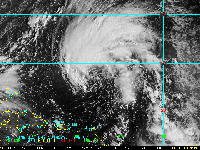
1. Disorganized showers and thunderstorms located several hundred
miles northeast of the northern Leeward Islands are associated with
a broad surface low pressure area and an upper-level low.
Environmental conditions could become a little more conducive for
gradual development of this system as a tropical or subtropical
cyclone during the next few days while the surface low moves
northwestward or north-northwestward at about 10 mph.
* Formation chance through 48 hours...medium...30 percent.
* Formation chance through 5 days...medium...40 percent.
Forecaster Berg


