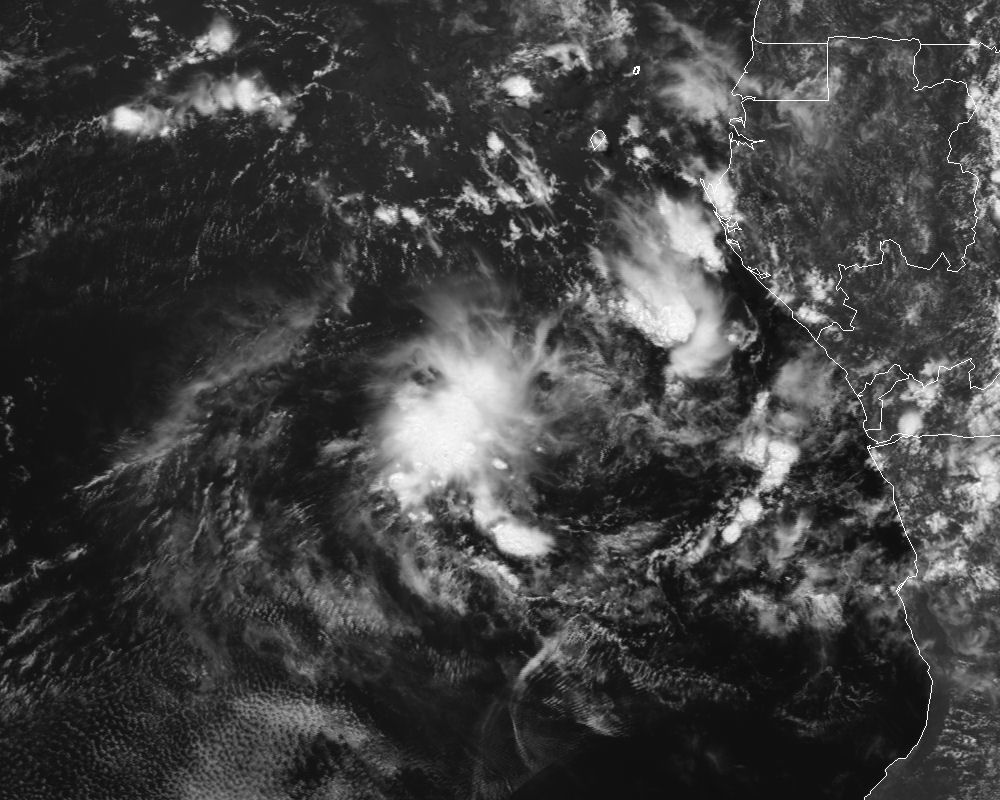
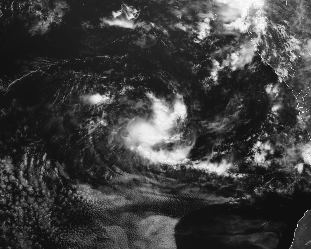
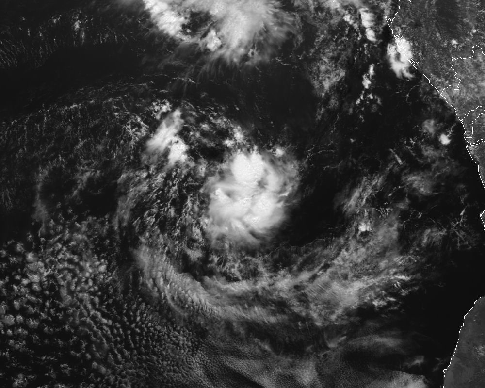
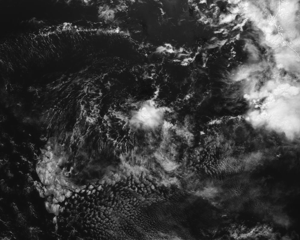
I recently acquired from EUMETSAT Meteosat-4 full disk imagery covering the period from 8-18 APR 1991. This time frame covers the brief life cycle of the infamous "Angola Tropical Cyclone" in the southeastern Atlantic Ocean off the west coast of Africa from genesis through dissipation. This dataset includes all 3 channels (Visible, Infrared, and Water Vapor) at 30-minute intervals. I ordered both the raw satellite data, as well as tiff image format.
Over the course of the coming weeks, I hope to put together some pretty sweet satellite loops, perhaps adding some sort of enhancements (low-lght vis and colorized IR/WV). I plan on soliciting some help from some of the tropical/satellite folks I know over at CIMSS.
If you have any thoughts or suggestions on what you think would look pretty cool, post them here in the thread, and I'll see what can be done.
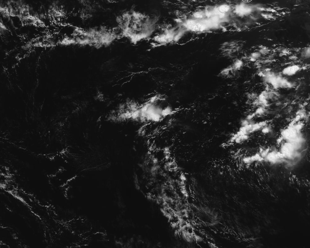
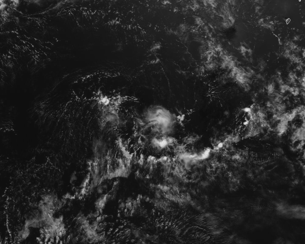
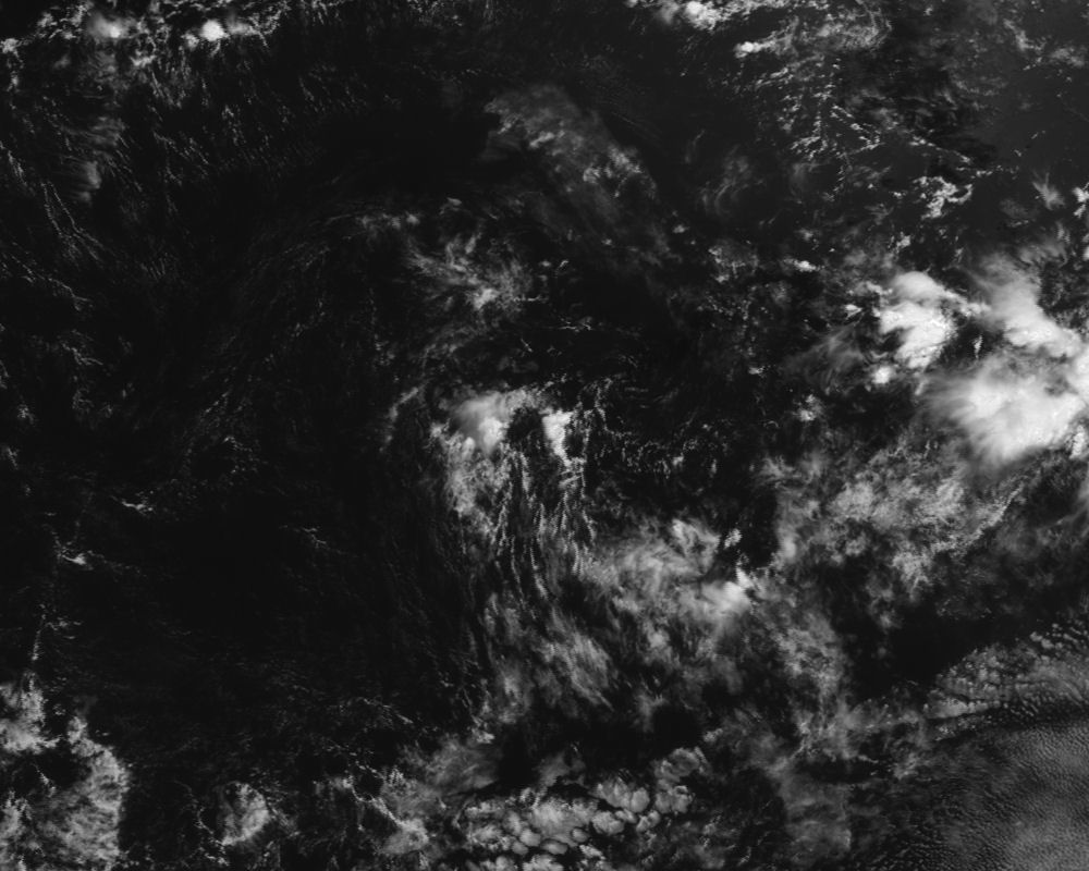
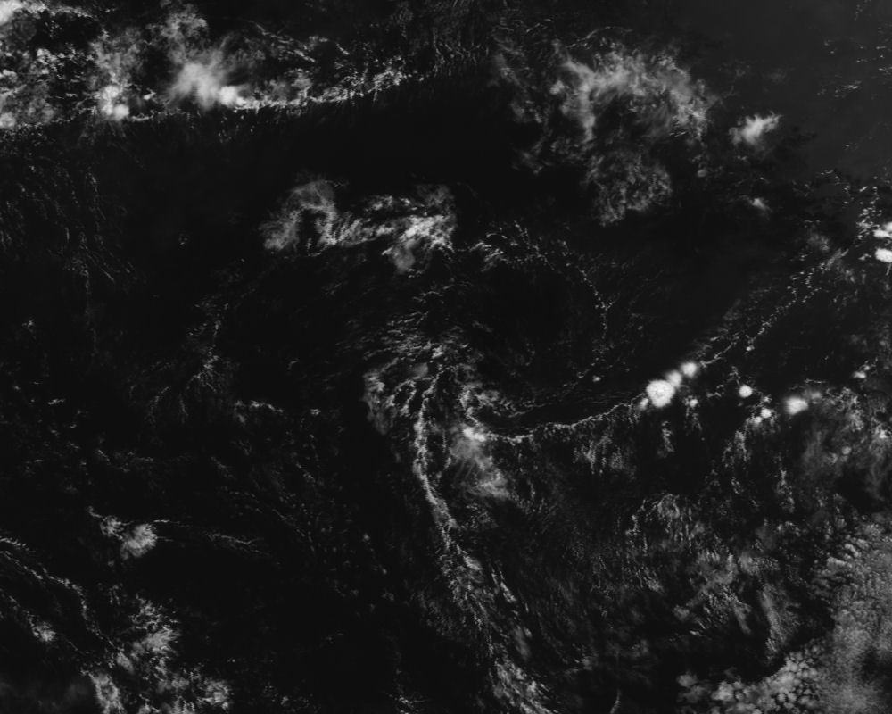
I thought I'd share a few quick storm-centered crops I made from the images at 1200 UTC each day. Enjoy!
4/8/91
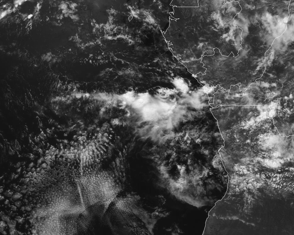
4/9/91
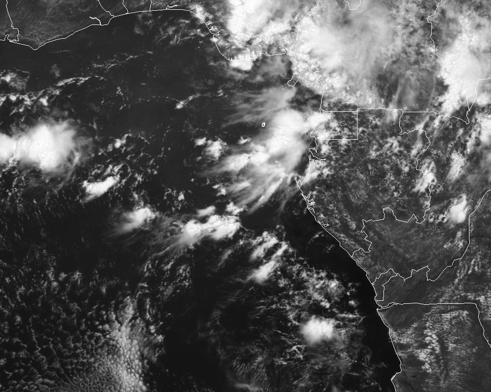
4/10/91
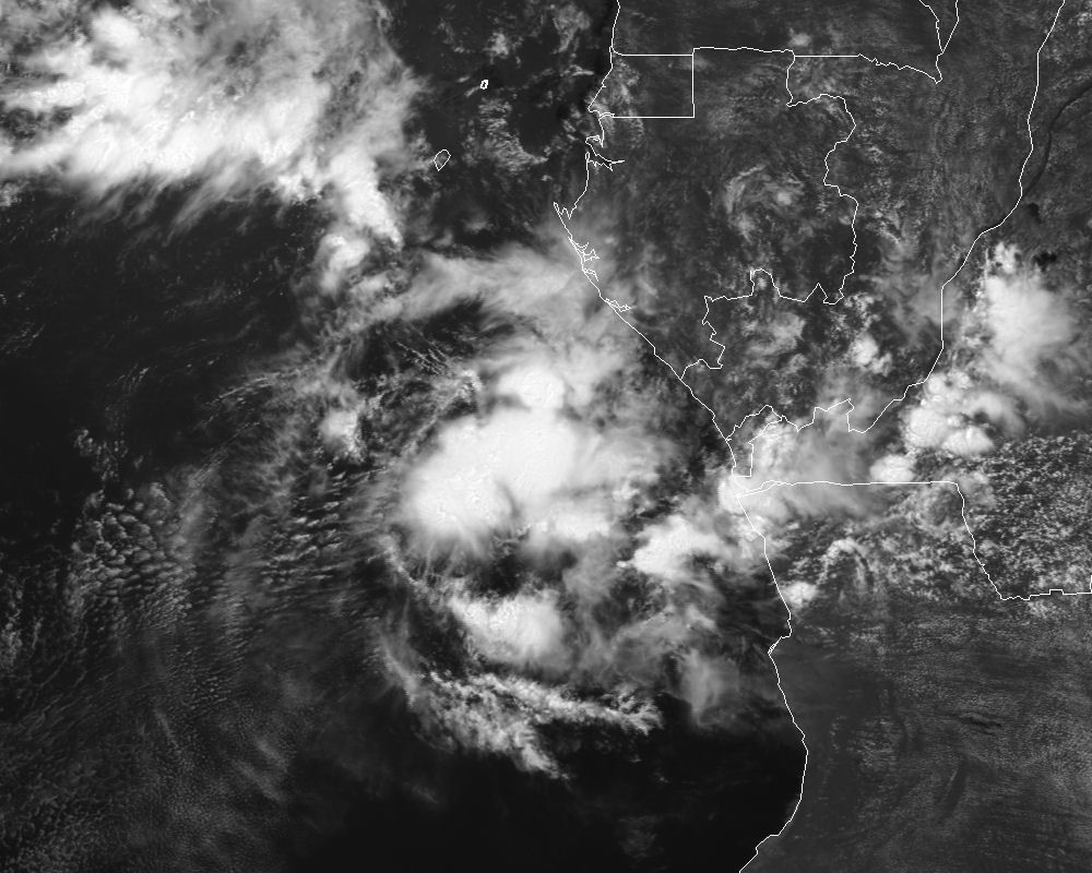
4/11/91
4/12/91
4/13/91
4/14/91
4/15/91
4/16/91
4/17/91
4/18/91