Maximum Winds: 15 kt
Minimum Central Pressure: 1010 mb


edit remove run
Moderator: S2k Moderators


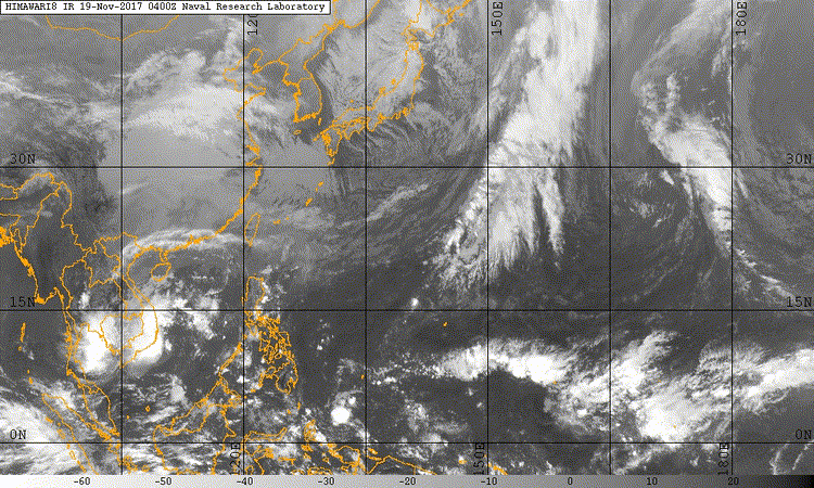
A surface trough stretching eastward from west of Chuuk to a weak
circulation centered just south of Kosrae then continues eastward to
beyond the date line at 7N. Scattered showers and isolated
thunderstorms near the trough will continue to affect Pohnpei and
Kosrae states through Tuesday. This activity will continue to
progress westward, bringing scattered showers to Chuuk Tuesday
night. The latest time/height data shows a fairly moist pattern
continuing from Chuuk to Kosrae though the week. Shower coverage is
expected to decrease to isolated by Tuesday evening at Pohnpei and
Kosrae and Wednesday at Chuuk, however, an unsettled pattern will
continue across the region through the end of the week. For Majuro,
borderline scattered showers are seen over the atoll this morning,
with a large area of scattered to numerous showers a little farther
east. Showers may decrease to isolated for a short time today, but
expect the area to the east to be over the atoll by early afternoon.
Models do show a bit drier pattern for Majuro by Tuesday evening.


Users browsing this forum: No registered users and 60 guests