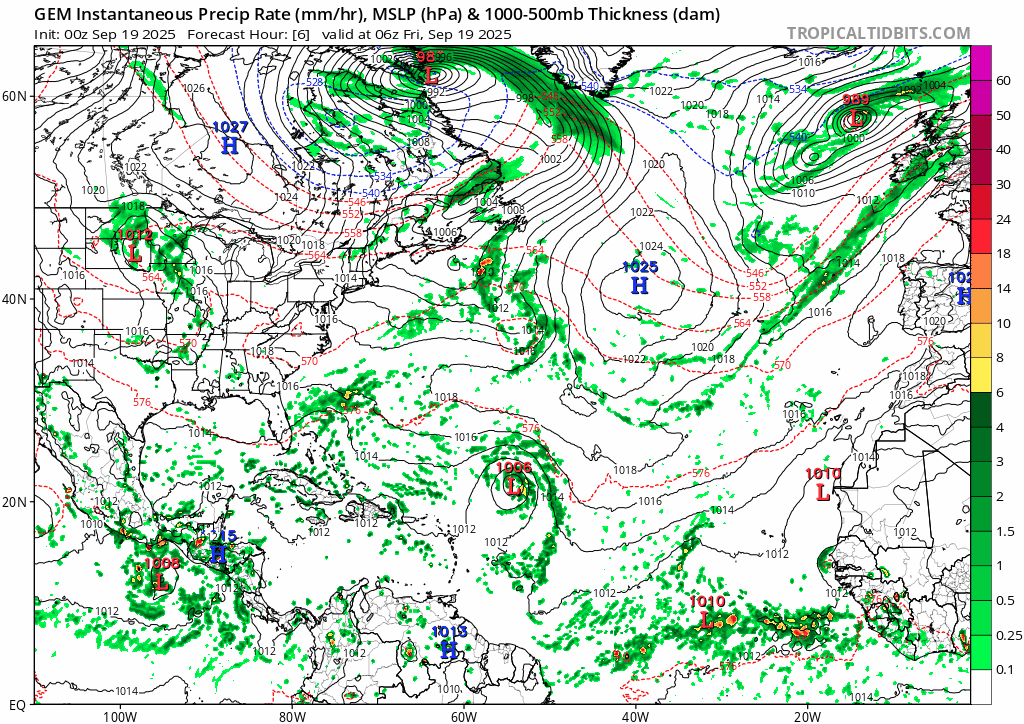
Eastern Tropical Atlantic:
A tropical wave is forecast to move off the coast of west Africa by
Friday. Some slow development of this system is possible as it
moves west-northwestward across the eastern tropical Atlantic this
weekend into early next week.
* Formation chance through 48 hours...low...near 0 percent.
* Formation chance through 7 days...low...20 percent.