Looking at the tropics tonight shows a very quiet traquil Atlantic Basin tonight. The eastern Pacific could be hopping with something shortly. But it's the west Pacific where it's worse right now with two typhoons hitting some form of land masses.
The first typhoon is slamming into the northern tip of the Philippines with very damaging winds, storm surge of 10-15 feet, and extremely heavy rains of 30-40 inches possible. That will cause massive flooding and mudslides. Typhoon Mindulle is slightly weaker than it was 24 hours ago, but still very strong with maximum sustained winds of 130 mph with gusts to 160 mph. Mindulle is centered near latitude 19.1 north, longitude 122.3 east. Movement is toward the west northwest at 5 mph. Maximum significant wave height is 38 feet. Thus this is generating waves as high as that of a 3-4 story building, big waves. The forecast will take this system towards southwest Taiwan and over the Taiwan straits between Taiwan and mainland China. This system could generate 2-4 feet of rain up in Taiwan and cateogry 3 winds of 115-125 mph. This will continue to be monitored carefully.
Meanwhile we have a second typhoon hitting Iwo Jima with now. Typhoon Tingting has already produced wind gusts up to 77 mph in Iow Jima and it could get worse before it gets better. Tingting has maximum sustained winds of 85 mph with higher gusts. Tingting is centered at around latitude 23.8 north, longitude 142.4 east. Max wave height is 32 feet and movement continues toward the north at around 18 mph.
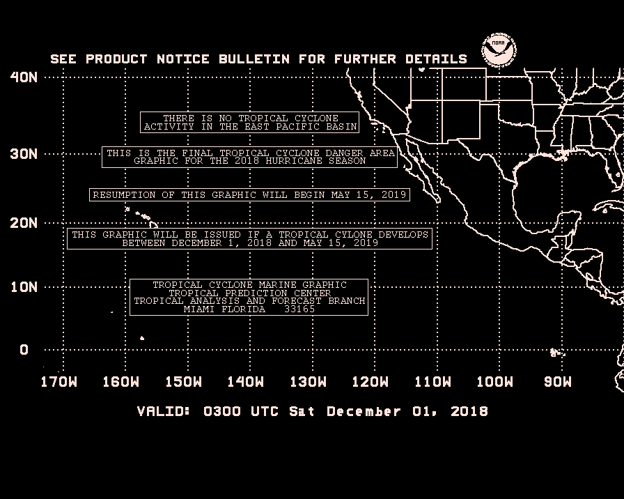
Further east in the eastern Pacific, a weak low pressure system has developed south of Baja California with some convection. It's not an immient threat to land areas and any tropical development appears to be slow at this time.
Meanwhile in the Atlantic, all is quiet tonight. We got three upper air low pressure areas, one west of Florida, the second over the Bahamas, and the third over the subtropical Atlantic north of the Caribbean Islands. This combined with strong west winds aloft and a strong high pressure ridge near Bermuda will result in very little tropical development anytime soon in the Atlantic Basin. There are some huge blobs of convection over Africa that will watch in the weeks ahead as they move off the west coast of Africa between now and early July.
Usually the most favored time for Cape Verde Season will be generally between August and early October.
Jim
evening/overnight tropical update
Moderator: S2k Moderators
Forum rules
The posts in this forum are NOT official forecasts and should not be used as such. They are just the opinion of the poster and may or may not be backed by sound meteorological data. They are NOT endorsed by any professional institution or STORM2K. For official information, please refer to products from the National Hurricane Center and National Weather Service.
- SupertyphoonTip
- Tropical Depression

- Posts: 77
- Joined: Sat May 29, 2004 12:50 am
- Location: Cape Cod, Massachusetts
"Possible Tropical Cyclone Formation in 36 Hours" for 98E, looks like they really think the low may have a chance.
Meanwhile, the latest track for Tingting shows that the 64-knot winds are not as widespread as expected and Iwo-jima may be spared the worst of it.
Mindulle is no longer expected to re-strengthen in the Strait of Luzon, but still expected to bring very strong winds to Taiwan and even coastal China.
Meanwhile, the latest track for Tingting shows that the 64-knot winds are not as widespread as expected and Iwo-jima may be spared the worst of it.
Mindulle is no longer expected to re-strengthen in the Strait of Luzon, but still expected to bring very strong winds to Taiwan and even coastal China.
0 likes
Who is online
Users browsing this forum: No registered users and 45 guests


