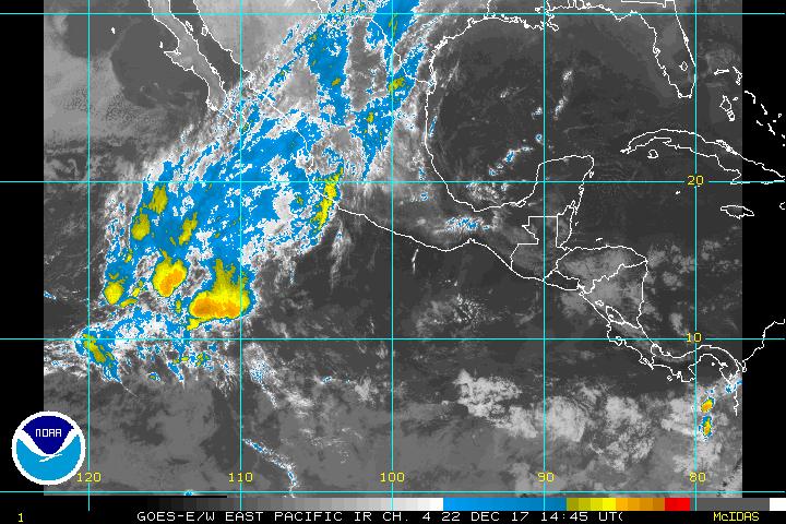
Tropical Depression Six-E
16.9N 113.5W
30 mph
1007 mb / 29.74"
TD 06E Forms....
Moderator: S2k Moderators
Forum rules
The posts in this forum are NOT official forecasts and should not be used as such. They are just the opinion of the poster and may or may not be backed by sound meteorological data. They are NOT endorsed by any professional institution or STORM2K. For official information, please refer to products from the National Hurricane Center and National Weather Service.
- senorpepr
- Military Met/Moderator

- Posts: 12542
- Age: 43
- Joined: Fri Aug 22, 2003 9:22 pm
- Location: Mackenbach, Germany
- Contact:
Code: Select all
forecast positions and Max winds


initial      29/0900z 17.0n 114.0w    25 kt
 12hr VT     29/1800z 17.2n 115.5w    30 kt
 24hr VT     30/0600z 17.5n 117.5w    35 kt
 36hr VT     30/1800z 17.7n 119.7w    40 kt
 48hr VT     31/0600z 17.8n 121.8w    35 kt
 72hr VT     01/0600z 18.0n 126.0w    30 kt...dissipating
 96hr VT     02/0600z 18.5n 130.0w    25 kt...remnant low
120hr VT     03/0600z 19.0n 134.5w    25 kt...remnant low
0 likes
-
hurricanefreak1988
- Category 3

- Posts: 869
- Joined: Thu Jul 22, 2004 10:13 pm
- Location: Fayetteville, NC
- Contact:
Sometimes I wonder... is the NHC doing it just to give the E-Pac storms? Gah! They did this with T.D. Two-E, even though they KNEW it wouldn't be anything. And they were right: it stayed at 30 mph for its whole life. Now they start advisories on this thing, which they say will barely even be a tropical storm. Unbelievable. The NHC is giving the advantage to their home ocean's rival 
That brings the 2004 Hurricane Season Score to East Pacific 6, Atlantic 0, but finally, I think this will be the weekend when we get on the board at long last.
That brings the 2004 Hurricane Season Score to East Pacific 6, Atlantic 0, but finally, I think this will be the weekend when we get on the board at long last.
0 likes
- The Dark Knight
- Category 3

- Posts: 800
- Joined: Fri Jun 18, 2004 11:18 am
- Location: Mashpee, Cape Cod, MA
- Contact:
Who is online
Users browsing this forum: ljmac75 and 44 guests


