#2347 Postby Big O » Sat Jan 03, 2015 11:52 am
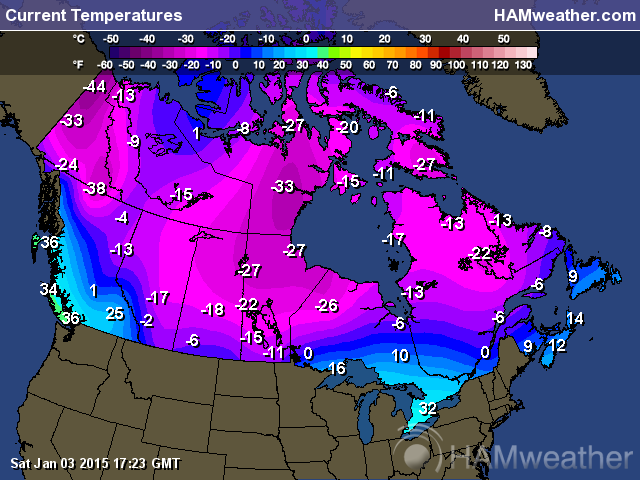
Taking a look at the long-range models and teleconnection indices, it appears that after this coming week's cold (1/5 - 1/10), we (Texas) should moderate, but only for a short amount of time. The European weeklies control run is a thing of beauty for all, but WxMan 57. Days 16-25 show cold temperatures relative to normal. There is then a brief let-up (average temperatures) from 1/26 to 1/27. Thereafter, from 1/28 - 2/2, temperatures are depicted as very cold, and from 1/29 - 2/1, there is bitterly cold air in the Southern Plains (centered over Texas), with temperature anomalies off the color chart. If this were to verify (always difficult to do exactly), we could see mean 850 (not surface) temperature anomalies over the entire state of 21 degrees Celsius, which I believe translates to 37.8 degrees Farenheit.
The European ensembles show the AO trending towards neutral and possibly negative by Day 10, the PNA trending towards positive, the EPO remaining negative (but possibly neutral), the WPO remaining negative, and the NAO positive to neutral. This in conjunction with the potential SSW event raises the possibility of anomalously cold weather for Texas and the Southern Plains in the long-term. The one caveat is that this is still extremely long-range and the models are notorious for flipping back and forth.
Last edited by
Big O on Sat Jan 03, 2015 1:49 pm, edited 1 time in total.
0 likes
 The posts in this forum are NOT official forecast and should not be used as such. They are just the opinion of the poster and may or may not be backed by sound meteorological data. They are NOT endorsed by any professional institution or