Texas Winter 2014-2015
Moderator: S2k Moderators
Forum rules
 The posts in this forum are NOT official forecast and should not be used as such. They are just the opinion of the poster and may or may not be backed by sound meteorological data. They are NOT endorsed by any professional institution or STORM2K.

The posts in this forum are NOT official forecast and should not be used as such. They are just the opinion of the poster and may or may not be backed by sound meteorological data. They are NOT endorsed by any professional institution or STORM2K.

-
TeamPlayersBlue

- Category 5

- Posts: 3524
- Joined: Tue Feb 02, 2010 1:44 am
- Location: Denver/Applewood, CO
Picture posted by NWS from Huntsville is def snow.
0 likes
Personal Forecast Disclaimer:
The posts in this forum are NOT official forecast and should not be used as such. They are just the opinion of the poster and may or may not be backed by sound meteorological data. They are NOT endorsed by any professional institution or storm2k.org. For official information, please refer to the NHC and NWS products.
The posts in this forum are NOT official forecast and should not be used as such. They are just the opinion of the poster and may or may not be backed by sound meteorological data. They are NOT endorsed by any professional institution or storm2k.org. For official information, please refer to the NHC and NWS products.
Re:
jerryh421 wrote:light snow is being reported in Huntsville
Yeah 20 miles NW of Huntsville I can verify that it was actually tiny flakes, not sleet or graupel. The grill is covered with a lite powder that you can blow away. It lasted for about 10 minutes. Maybe the warm nose got cold for a bit.

0 likes

Re: Re:
davidiowx wrote:wxman57 wrote:I saw the video he posted. That's not snow, it's just drizzle being blown around in front of the car's headlights. The vertical temperature profile isn't even close to one that could produce snow.
I didn't see the video but looking at the sounding from KCLL snow is almost literally impossible. I was surprised HGX mentioned that..
More than just a video, pictures were also posted and one of the pictures had it accumulating on cars. I understand the temperature profile does not support the snow, but something certainly was falling and it could not have been just drizzle. Maybe sleet? However it does look more like snow flurries to me. HGX has added a chance of snow and freezing rain to my forecast for tonight and into tomorrow morning.
0 likes
-
TheProfessor

- Professional-Met

- Posts: 3506
- Age: 29
- Joined: Tue Dec 03, 2013 10:56 am
- Location: Wichita, Kansas
-
Ralph's Weather
- S2K Supporter

- Posts: 3371
- Age: 38
- Joined: Fri Dec 13, 2013 11:55 am
- Location: Lindale, TX
- Contact:
There were definitely periods of light show at my place. I did not check the soundings, but I expect they were forming near the surface around 925mb.
I am getting excited about the prospects of 6+ inches of snow between the next two storms.
I am getting excited about the prospects of 6+ inches of snow between the next two storms.
0 likes
Follow on Facebook at Ralph's Weather.
-
orangeblood
- S2K Supporter
- Posts: 3895
- Joined: Tue Dec 15, 2009 6:14 pm
- Location: Fort Worth, TX
Re: Texas Winter 2014-2015

0 likes

-
Brent
- S2K Supporter
- Posts: 38708
- Age: 37
- Joined: Sun May 16, 2004 10:30 pm
- Location: Tulsa Oklahoma
- Contact:
Re: Texas Winter 2014-2015
orangeblood wrote::uarrow: yep, beautiful ULL depicted by the NAM moving directly through the state on Wednesday....
Yes! I'll take this in a heartbeat lol
0 likes
#neversummer
-
orangeblood
- S2K Supporter
- Posts: 3895
- Joined: Tue Dec 15, 2009 6:14 pm
- Location: Fort Worth, TX
Re:
TheProfessor wrote:Anyone else see those temperature trends at the end of the 21z SREF Plumes?
Yeah, Originating out of the Arctic Circle, Thursdays Arctic Front is pretty potent...wouldn't be surprised at another sub-freezing high temp day on Friday. Big question mark is how much moisture will be available for that system
0 likes
-
Brent
- S2K Supporter
- Posts: 38708
- Age: 37
- Joined: Sun May 16, 2004 10:30 pm
- Location: Tulsa Oklahoma
- Contact:
Re: Re:
orangeblood wrote:TheProfessor wrote:Anyone else see those temperature trends at the end of the 21z SREF Plumes?
Yeah, Originating out of the Arctic Circle, Thursdays Arctic Front is pretty potent...wouldn't be surprised at another sub-freezing high temp day on Friday. Big question mark is how much moisture will be available for that system
and Wednesday will be much colder if it snows and significant accumulates until noon... so not much of a warmup there either
0 likes
#neversummer
-
Yukon Cornelius
- S2K Supporter
- Posts: 1836
- Age: 42
- Joined: Thu Dec 20, 2012 9:23 pm
- Location: Dean, TX/Westcliffe, CO
Re: Re:
orangeblood wrote:TheProfessor wrote:Anyone else see those temperature trends at the end of the 21z SREF Plumes?
Yeah, Originating out of the Arctic Circle, Thursdays Arctic Front is pretty potent...wouldn't be surprised at another sub-freezing high temp day on Friday. Big question mark is how much moisture will be available for that system
The NWS currently has a pretty decent chance for snow for my part of the state on Friday.
0 likes
#neversummer

Re: Texas Winter 2014-2015
wxman57 wrote:My day (months) will be coming soon! Winter is on its last legs now, though it seems to have quite a few of them.
In a few months the discussion will go something like this:

You will be begging for cold weather again.
0 likes

Re:
TeamPlayersBlue wrote:Picture posted by NWS from Huntsville is def snow.
Not saying it is or isn't snowing in Huntsville. But, like I posted earlier today, I don't always think the upper air temp profiles are accurate. In that earlier post, I told how several years ago it was snowing huge flakes at my house in Tomball. I was on the phone at the time with a friend of mine who is a meteorologist and telling him it was snowing. He said that it couldn't be because the upper air sounding showed it was too warm to support snow. I told him, I didn't need confirmation from any upper air analysis because I was out in it, and told him to come over to see for himself. He called me on the way over to tell me that it was indeed snowing. Classic example of looking at a model output instead of looking outside the window
0 likes
Any forecast I make is based on my opinion only. Please refer to the NWS or NHC for official forecasts.
-
Brent
- S2K Supporter
- Posts: 38708
- Age: 37
- Joined: Sun May 16, 2004 10:30 pm
- Location: Tulsa Oklahoma
- Contact:
Re: Texas Winter 2014-2015
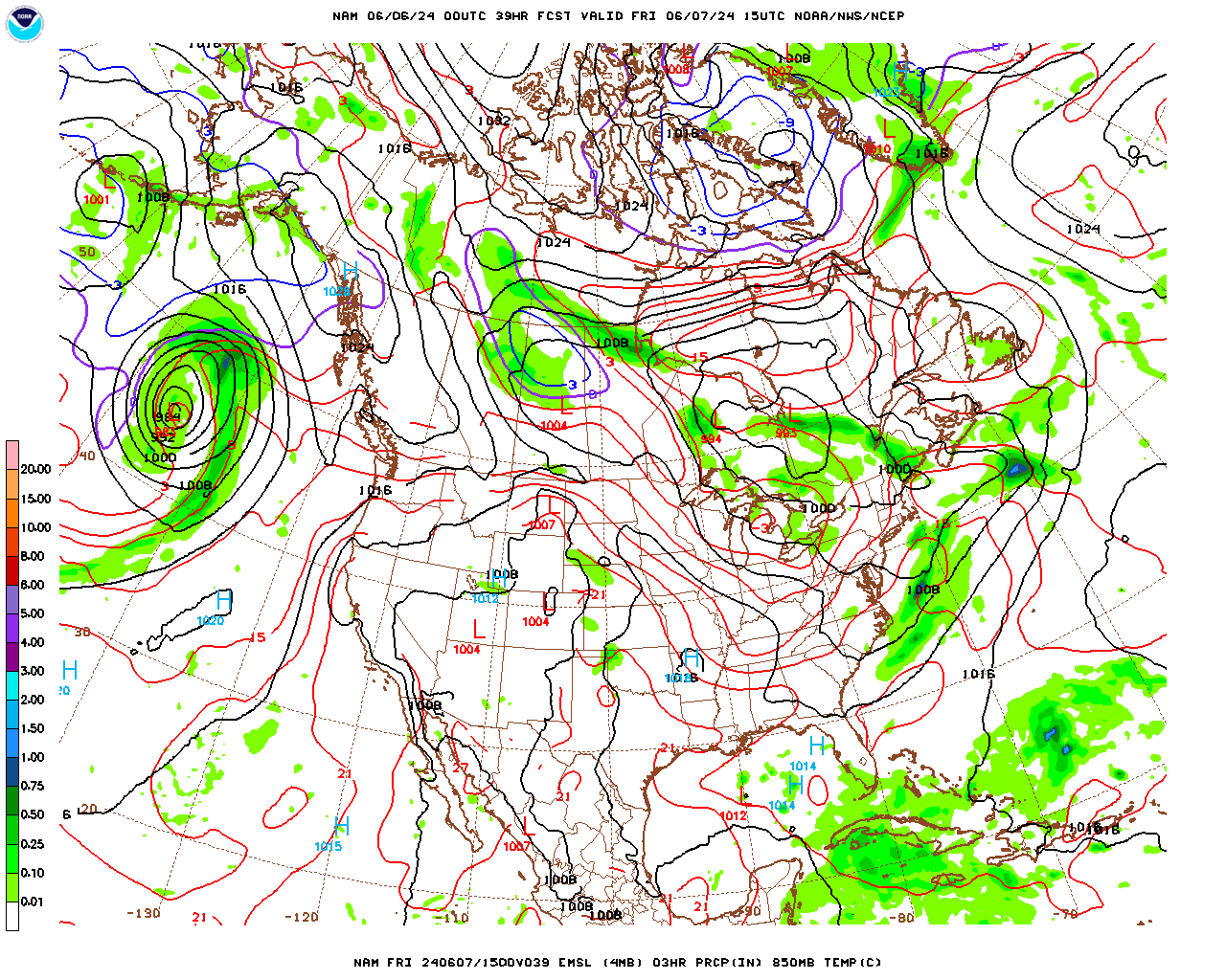
FWD seems to be believing the aggressive NAM:
REGARDING THE SNOW POTENTIAL TUESDAY NIGHT AND WEDNESDAY AM...THE
NAM IS CURRENTLY THE ONLY NEW 00Z MODEL DATA THAT HAS ARRIVED AND
IT CONTINUES TO BE AGGRESSIVE WITH THE SNOW POTENTIAL. WILL NOT
MAKE ANY CHANGES AT THIS TIME UNTIL WE SEE MORE 00Z DATA BUT IF
THE NAM IS THE PREFERRED MODEL...THE WATCH MAY HAVE TO BE EXPANDED
FURTHER WEST AND/OR SOUTH.
0 likes
#neversummer
-
Texas Snowman

- Storm2k Moderator

- Posts: 6197
- Joined: Fri Jan 25, 2008 11:29 am
- Location: Denison, Texas
Re: Re:
Snowman67 wrote:Classic example of looking at a model output instead of looking outside the window
Reminds me of something the late great Harold Taft used to say. The former U.S. Air Force met turned longtime KXAS-TV met at Channel 5 in Fort Worth was asked once by an anchor why he often didn't forecast snow when others did.
He said he had learned over the years that forecasting snow in Texas was a tricky thing and that the best way to forecast it was when you looked out the window and saw that it was actually snowing, then go ahead and make a forecast for snow to occur.
0 likes
The above post and any post by Texas Snowman is NOT an official forecast and should not be used as such. It is just the opinion of the poster and may or may not be backed by sound meteorological data. It is NOT endorsed by any professional institution including storm2k.org. For official information, please refer to NWS products.
-
weatherdude1108
- Category 5
- Posts: 4228
- Joined: Tue Dec 13, 2011 1:04 pm
- Location: Northwest Austin/Cedar Park, TX

Re:
weatherdude1108 wrote:Just got a text stating there would be a late start to work. Not sure why, but woohoo!!!
Saw a post from KXAN saying UT will not open till 10 a.m. tomorrow, classes don't start till 11 a.m.
AISD and surrounding school districts are on a 2 hour delay for tomorrow morning.
0 likes
Resident Rain Miser
I am a weather hobbyist living 3.5 miles south of Downtown Austin and in no way or fashion should anything I say concerning forecasts be taken seriously. Please check your local NWS for accurate weather forecasting and conditions.
I am a weather hobbyist living 3.5 miles south of Downtown Austin and in no way or fashion should anything I say concerning forecasts be taken seriously. Please check your local NWS for accurate weather forecasting and conditions.
Who is online
Users browsing this forum: Cpv17, Iceresistance, TheAustinMan and 71 guests