Man, life sucks. The GFS does not have a CAT 5 IN THE GULF in 4732 hours. I was so ready for it, too.

Portastorm, as he usually does, brings wisdom, logic and reason. He's right too. The bipolar heat miser (or is he officially the cold miser this season?) has been a professional meteorologist longer than many of our posters here have been alive. I put a significant amount of weight in what he shares with us, because he knows exactly what he is talking about. Most of us have varying degrees of knowledge on the weather, many posters bring a lot of great insight, which is part of what makes this community so special. But I digress .....
Here's the facts:
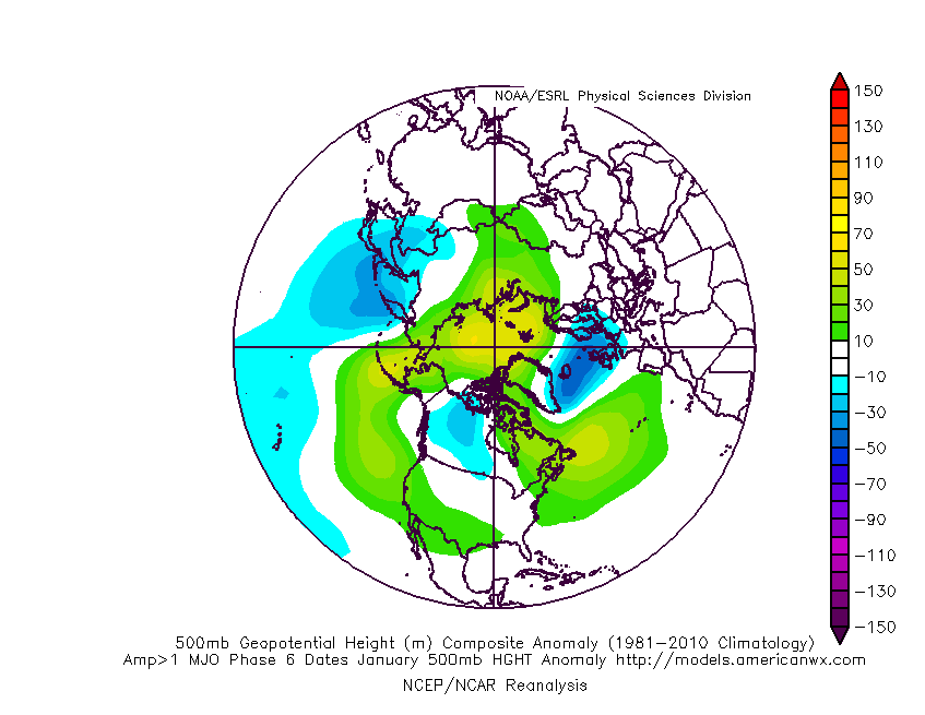
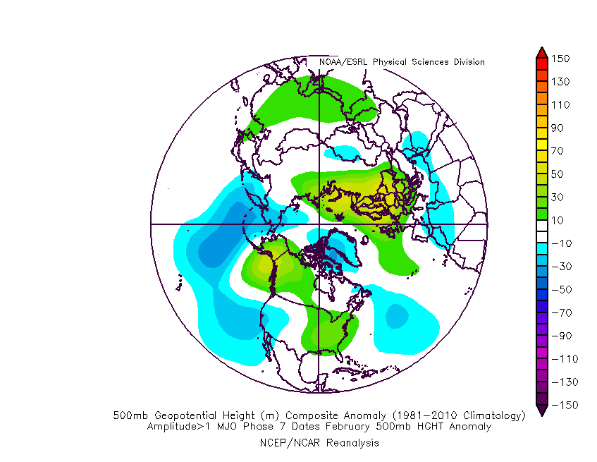
We're in a La Nina
We're in a moderate drought
We're lucky that we've had multiple hard freezes despite the La Nina (DIE RAGWEED, DIE!!!). Typically La Nina Winters are warm and dry in Texas. We beat the odds here, big time.
While we've somewhat avoided the warm part of a La Nina Winter, we are far from avoiding the dry part. Most of North Texas is now under moderate drought conditions, and that will not end anytime soon.
I get what many people mean when they say the models busted on a forecast 180+ hours out. Now be realistic, until the forecast date gets here, how can the model possibly bust? That's been a plague of sorts here lately and it needs to stop. Models are just that, mathematics run in a best guess simulation in a supercomputer. No matter what we do, Mother Nature has the ultimate control here. Sometimes our models work out, sometimes they don't. If you've been on S2K more that a few weeks, you know better than to go all in on model guidance beyond 3-5 days. I tongue in cheek joke about the GFS at 384 hours being for entertainment purposes. Realistically, it is just that - entertainment.
A squirrel runs in front of your car, what do you do? Swerve left, right, slow down, speed up? You don't know what that squirrel (another marvel of nature) is going to do in 3 seconds. Why would you put your faith and heart in a model 7-10 days out, when we really don't know what the squirrell will do in 3 seconds.
As Joe B says, enjoy the weather, its the only weather we've got.
The above post and any post by dhweather is NOT an official forecast and should not be used as such. It is just the opinion of the poster and may or may not be backed by sound meteorological data. It is NOT endorsed by any professional institution including storm2k.org. For official information, please refer to NWS products.
 The posts in this forum are NOT official forecast and should not be used as such. They are just the opinion of the poster and may or may not be backed by sound meteorological data. They are NOT endorsed by any professional institution or