Widespread Severe Weather Outbreak Monday, Tornadoes Likely

U.S. & Caribbean Weather Discussions and Severe Weather Events

Moderator: S2k Moderators

Forum rules

The posts in this forum are NOT official forecast and should not be used as such. They are just the opinion of the poster and may or may not be backed by sound meteorological data. They are NOT endorsed by any professional institution or STORM2K.

Help Support Storm2K
Message
Author
jkt21787
Category 5
Category 5
Posts: 2061
Joined: Tue Aug 31, 2004 5:27 pm
Location: Memphis, TN

#21 Postby jkt21787 » Sun Mar 20, 2005 12:38 pm

jeff wrote:Moisture will probably be somewhat limited, but it all depends on how quickly the return flow sets up.

Winds already swinging around to South here in SE TX much sooner than I thought they would.

We will know by early Monday.


That's good that winds are already switching down there. But as you said we will probably have to wait until Monday to see exactly what evolves. Still will be interesting nonetheless. I am getting more concerned for redevelopment Tuesday afternoon after the squall line. Could be big hail stoms then, maybe a tornado with some shear present on 12z NAM.

Thanks.
0 likes   

jeff
Professional-Met
Professional-Met
Posts: 831
Joined: Sun Sep 12, 2004 6:14 pm
Location: Houston, TX
Contact:

#22 Postby jeff » Sun Mar 20, 2005 8:25 pm

***Widespread severe weather outbreak expected Monday***

A few violent tornadoes will be possible over E TX, W LA, S AR.

Set up:

Trough currently over the Rockies will move ESE into the S plains early Monday. Surface pressure falls will spawn low pressure over OK by early Monday with a rapid increase in low level southerly flow across TX, LA into OK. Gulf moisture will rapidly increase on a 50-60kt low level jet from the TX coastal bend to C AR. Forecast dewpoints rise into the low 60's as far north as S AR and SE OK with mid to even upper 60 degree dewpoints over E TX. Showers and thunderstorms will likely be ongoing at the start of the period over the ARLATX in a region of large scale ascent and WAA.

Thermodyanmic Profiles:

Forecast sounding over SE and E TX show CAPE of 2000-3000 J/kg by early afternoon, Li's of -5 to -8, steep lapse rates, and weakening CIN. Trigger temps. over SE TX appear to be in the 75-80 degree range which will be reachable. Strong surface heating will support a very unstable air mass by early afternoon under a weakening cap.

Wind profiles:

Forecast soundings and hodographs indicate a strongly sheared envirnoment with 0-1 km shear of 35-40kts, 850 mb winds S at 40-50kts, 700mb winds WSW at 60-80kts, and 500mb winds W at 100kts. A 140kts jet streak will slam into SE and E TX during max heating placing the area north of a line from College Station to Huntsville to Lufkin in the left front quad. Such profiles will support rotating updrafts and mesocyclone formation over SE and E TX and LA. Updraft velocities of 80 m/s will likely support a few tops upward of 60,000 to 65,0000 ft.

Event:

Storms should fire between 1-3 pm over C TX along the dry line from near Dallas to W of KCLL to W of Columbus TX. Additional acitivity will develop over E OK into W AR during this same time period. At first storms will be isolated supercells and then gradually merge into a squall line with numerous segments and bows over S AR, LA, and E TX. Tornadic threat will continue within any line segments, and with any cells rooted in the low level jet ahead of the line. Threat will spread across LA, MS, TN overnight while weakening some.

Main area of concern at this time for tornadoes is bounded by Houston, Fort Polk, Dallas, College Station, Columbus, and then back to Houston (or over SE to NE TX).

This will likely be the first major outbreak of the season so review severe weather safety rules and act if a warning is issued for your area.

Jeff L
0 likes   

jeff
Professional-Met
Professional-Met
Posts: 831
Joined: Sun Sep 12, 2004 6:14 pm
Location: Houston, TX
Contact:

#23 Postby jeff » Sun Mar 20, 2005 8:59 pm

If anybody is doing any kind of chasing Monday, I will be more than happy to nowcast. I will be stuck in the office babysitting the radar so no chasing for me.

Send me a PM for my contact information.
0 likes   

jkt21787
Category 5
Category 5
Posts: 2061
Joined: Tue Aug 31, 2004 5:27 pm
Location: Memphis, TN

#24 Postby jkt21787 » Sun Mar 20, 2005 9:22 pm

Thanks for the updates Jeff. This very well looks to be the biggest outbreak since May 30, 2004. Like you said significant tornadoes appear likely for some time in the Arklatex area down to Southeast TX and extending east to LA and perhaps MS. How north that threat gets will depend on how far north the warm front makes it. Right now I think you pretty well have it pinned down.

Great analysis.
0 likes   

User avatar
ChiTownMC
Tropical Depression
Tropical Depression
Posts: 70
Joined: Thu Jan 06, 2005 11:35 pm
Location: The Chi
Contact:

#25 Postby ChiTownMC » Sun Mar 20, 2005 9:37 pm

jeff wrote:If anybody is doing any kind of chasing Monday, I will be more than happy to nowcast..


Yea it anyone could post some pictures, it would be greatly appreciated. :)
0 likes   

jeff
Professional-Met
Professional-Met
Posts: 831
Joined: Sun Sep 12, 2004 6:14 pm
Location: Houston, TX
Contact:

#26 Postby jeff » Mon Mar 21, 2005 7:43 am

Outbreak underway this morning about 6 hours ahead of forecast.

WW 55 in effect until 100pm for N and C TX. Local 88D's quite active, however boundary layer return flow has not been as great as forecast.

Deep Gulf moisture should make a rapid return by late monring to all of E and C TX feeding developing convection. Increasing CAPE, lowering Li's and helicity of 200-300 over E TX will support an increasing large hail and tornado threat.

Multiple rounds of storms are possible over E TX this afternoon. Threat will shift E overnight into LA with damaging winds and tornadoes.

Updates today will be short and to the point, as the event is underway.
0 likes   

User avatar
vbhoutex
Storm2k Executive
Storm2k Executive
Posts: 29113
Age: 73
Joined: Wed Oct 09, 2002 11:31 pm
Location: Cypress, TX
Contact:

#27 Postby vbhoutex » Mon Mar 21, 2005 7:56 am

Jeff I sent you a pm. Did you not recieve it?

Not sure if I can get out, but if I do I'll be happy to report.
0 likes   

jeff
Professional-Met
Professional-Met
Posts: 831
Joined: Sun Sep 12, 2004 6:14 pm
Location: Houston, TX
Contact:

#28 Postby jeff » Mon Mar 21, 2005 8:37 am

vbhoutex wrote:Jeff I sent you a pm. Did you not recieve it?

Not sure if I can get out, but if I do I'll be happy to report.


Got it , good deal
0 likes   

jeff
Professional-Met
Professional-Met
Posts: 831
Joined: Sun Sep 12, 2004 6:14 pm
Location: Houston, TX
Contact:

#29 Postby jeff » Tue Mar 22, 2005 9:23 am

Severe weather threat remains over a large part of the S US from E LA into GA.

Air mass will become very unstable by afternoon over warm sector ahead of dry line and SW of warm front. Strong shearing profiles support tornadic supercells especially near the warm front where low level winds will remain backed or within the MOD risk area.

Other cells will develop along and ahead of the dry line across LA and MS during the early afternoon and merge into lines and segments while moving eastward. Supercells will also be possible ahead of the dry line activity within low level WAA and strong low level jet.

Highest tornado threat will be near the warm frontal boundary or roughly from NW MS to central and SE AL.

A few high end wind, hail , and tornado events will be possible today and tonight.

I am worn out from both Saturday and yesterday and the risk area is well east of my "area of responsibility" so I will turn the ropes over to the other forecasters in that region.

Jeff L
0 likes   

User avatar
vbhoutex
Storm2k Executive
Storm2k Executive
Posts: 29113
Age: 73
Joined: Wed Oct 09, 2002 11:31 pm
Location: Cypress, TX
Contact:

#30 Postby vbhoutex » Tue Mar 22, 2005 9:44 am

Jeff thanks for keepijng us updated on all of this. Get some rest now.
0 likes   

Brent
S2K Supporter
S2K Supporter
Posts: 38094
Age: 37
Joined: Sun May 16, 2004 10:30 pm
Location: Tulsa Oklahoma
Contact:

#31 Postby Brent » Tue Mar 22, 2005 9:57 am

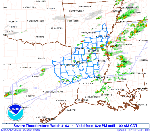
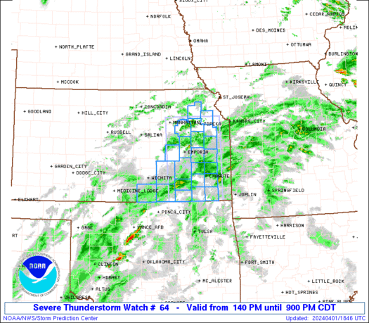
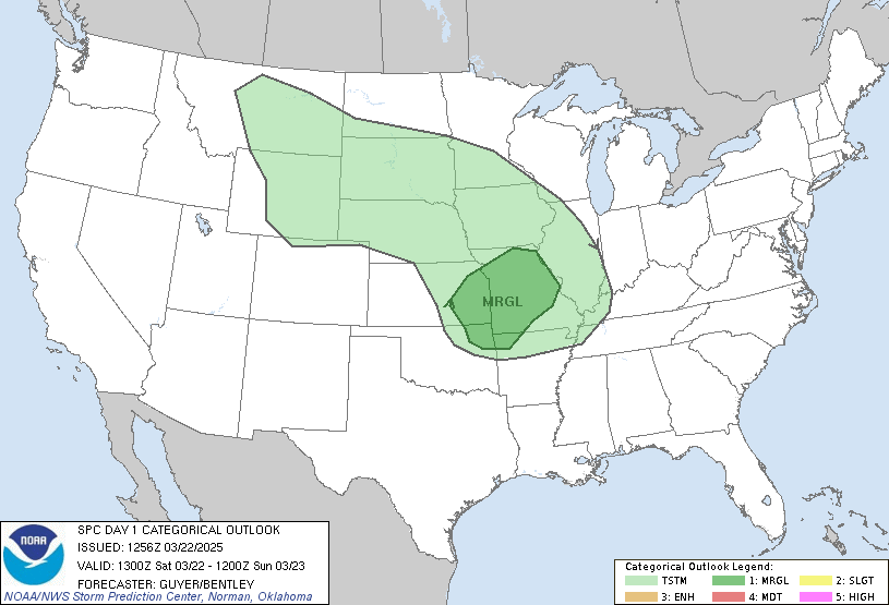
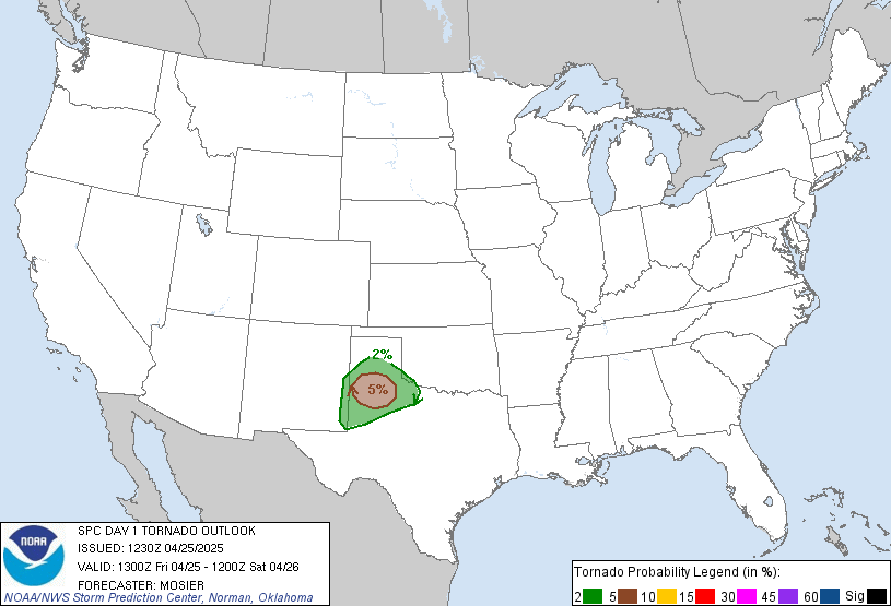
Looks like I am going to be under the gun. Already Tornado Watches just south of here. :eek:

Image

Image

Image

Image
0 likes   
#neversummer


Return to “USA & Caribbean Weather”

Who is online

Users browsing this forum: LarryWx and 8 guests