Texas Summer 2022
Moderator: S2k Moderators
Forum rules

The posts in this forum are NOT official forecast and should not be used as such. They are just the opinion of the poster and may or may not be backed by sound meteorological data. They are NOT endorsed by any professional institution or STORM2K.
-
Haris

- Category 5

- Posts: 1814
- Joined: Mon Nov 27, 2017 8:19 pm
- Location: ( Bee Cave) West Austin, Texas
Re: Texas Summer 2022
3.6” at Austin Mabry breaking the daily record so far
Last edited by Haris on Mon Aug 22, 2022 5:36 pm, edited 1 time in total.
4 likes
Weather geek and a storm spotter in West Austin. Not a degreed meteorologist. Big snow fan. Love rain and cold! Despise heat!
Re: Texas Summer 2022
Seems like this round is pretty much over for Longview. I ended up with 7.14".
7.10" within a 24 hour period from 3 pm Sunday to 3 pm Monday.
7.10" within a 24 hour period from 3 pm Sunday to 3 pm Monday.
3 likes
-
UTSARoadrunner4
- Category 1

- Posts: 265
- Age: 29
- Joined: Wed Aug 26, 2020 11:19 pm
Re: Texas Summer 2022
Pretty gnarly outflow boundary coming through Far Northern SA. Storms must be right on our doorstep. Hopefully we can get a decent amount of rain out of it.
2 likes

Re: Texas Summer 2022
Some bad and surprising flooding out there, so the truth is bad enough but our idiot media just has to keep exaggerating. On NBC 5 just now:
"Flooding in Fair Park, as you can see the flood line on buildings reached 5 feet!" As they show video of the flood debris line literally at door handle level....
"Flooding in Fair Park, as you can see the flood line on buildings reached 5 feet!" As they show video of the flood debris line literally at door handle level....
0 likes

Re: Texas Summer 2022
Ntxw wrote:Cpv17 wrote:Ntxw wrote:
They did a pretty good job highlighting the current period way back. They've had a pretty good track record of providing risk (both heat and rain) overall I think.
Do you know what they’re seeing?
From their source it looks like probabilistic forecast from the GEFS that is calibrated.
https://www.cpc.ncep.noaa.gov/products/predictions/threats/extremesToolAbout.php
There is currently a surge of moisture in the E-Carib that will take a path towards Texas with increased pwats on the models by that time frame. Also increased EPAC activity around the same time will provide upper moist flow, the deeper into the Fall season the more important that bit becomes.
That’s a potentially scary steering pattern setting up.
2 likes
-
weatherdude1108
- Category 5
- Posts: 4228
- Joined: Tue Dec 13, 2011 1:04 pm
- Location: Northwest Austin/Cedar Park, TX
Re: Texas Summer 2022
Guess it's Austin's turn.
Flash Flood Statement
National Weather Service Austin/San Antonio TX
536 PM CDT Mon Aug 22 2022
TXC453-230015-
/O.CON.KEWX.FF.W.0007.000000T0000Z-220823T0015Z/
/00000.0.ER.000000T0000Z.000000T0000Z.000000T0000Z.OO/
Travis TX-
536 PM CDT Mon Aug 22 2022
...FLASH FLOOD WARNING REMAINS IN EFFECT UNTIL 715 PM CDT THIS
EVENING FOR CENTRAL TRAVIS COUNTY...
At 536 PM CDT, Doppler radar and automated rain gauges indicated
thunderstorms producing heavy rain in and around the city of Austin.
The intersection of Lamar and 9th street is closed due to flooding.
Several low water crossings have also been closed. Gauge data shows
between 2 and 4 inches of rain have fallen. Additional rainfall
amounts up to 1 inch are possible in the warned area. Flash flooding
is already occurring.
HAZARD...Life threatening flash flooding. Thunderstorms producing flash flooding.
SOURCE...Radar and automated gauges.
IMPACT...Life threatening flash flooding of creeks and streams, urban areas, highways, streets and underpasses.
Some locations that will experience flash flooding include...
Austin, Pflugerville, Austin Bergstrom Int irport, Tanglewood
Forest, Windemere, Manor, West Lake Hills, Rollingwood, Barton
Creek, Onion Creek, Shady Hollow, Manchaca, Sunset Valley, San
Leanna, Camp Mabry, Del Valle, Lost Creek, McKinney Falls State
Park and Wells Branch.
PRECAUTIONARY/PREPAREDNESS ACTIONS...
Turn around, don`t drown when encountering flooded roads. Most flood
deaths occur in vehicles.
Be aware of your surroundings and do not drive on flooded roads.
0 likes
The preceding post is NOT an official forecast, and should not be used as such. It is only the opinion of the poster and may or may not be backed by sound meteorological data. It is NOT endorsed by any professional institution including storm2k.org. For Official Information please refer to the NHC and NWS products.
-
weatherdude1108
- Category 5
- Posts: 4228
- Joined: Tue Dec 13, 2011 1:04 pm
- Location: Northwest Austin/Cedar Park, TX
Re: Texas Summer 2022
Edwards Limestone wrote:gpsnowman wrote:weatherdude1108 wrote:Just started raining here. Flood advisory.
Austin about to get hit. Good, the more of Texas the better. San Antonio is next.
We'll get something hopefully. Seems so close yet so far.
I'm seeing another sneaky outflow heading southeast just as the storms get close yet again. We are just too far south for this pattern right now.
My brother in north SA texted it's "raining moderately for 7 minutes now. Might be trying to develop on top of us."
2 likes
The preceding post is NOT an official forecast, and should not be used as such. It is only the opinion of the poster and may or may not be backed by sound meteorological data. It is NOT endorsed by any professional institution including storm2k.org. For Official Information please refer to the NHC and NWS products.
-
HockeyTx82
- S2K Supporter

- Posts: 2784
- Joined: Tue Oct 27, 2009 11:17 am
- Location: Ponder, TX
Re: Texas Summer 2022
dpep4 wrote:Some bad and surprising flooding out there, so the truth is bad enough but our idiot media just has to keep exaggerating. On NBC 5 just now:
"Flooding in Fair Park, as you can see the flood line on buildings reached 5 feet!" As they show video of the flood debris line literally at door handle level....
Just about on par for NBC....
[youtube]https://youtu.be/cgm3_jzcNm4[/youtube]
0 likes
Don't hold me accountable for anything I post on this forum. Leave the real forecasting up to the professionals.
Location: Ponder, TX (all observation posts are this location unless otherwise noted)
Location: Ponder, TX (all observation posts are this location unless otherwise noted)
-
bubba hotep

- S2K Supporter
- Posts: 6013
- Joined: Wed Dec 28, 2016 1:00 am
- Location: Collin County Texas
Re: Texas Summer 2022
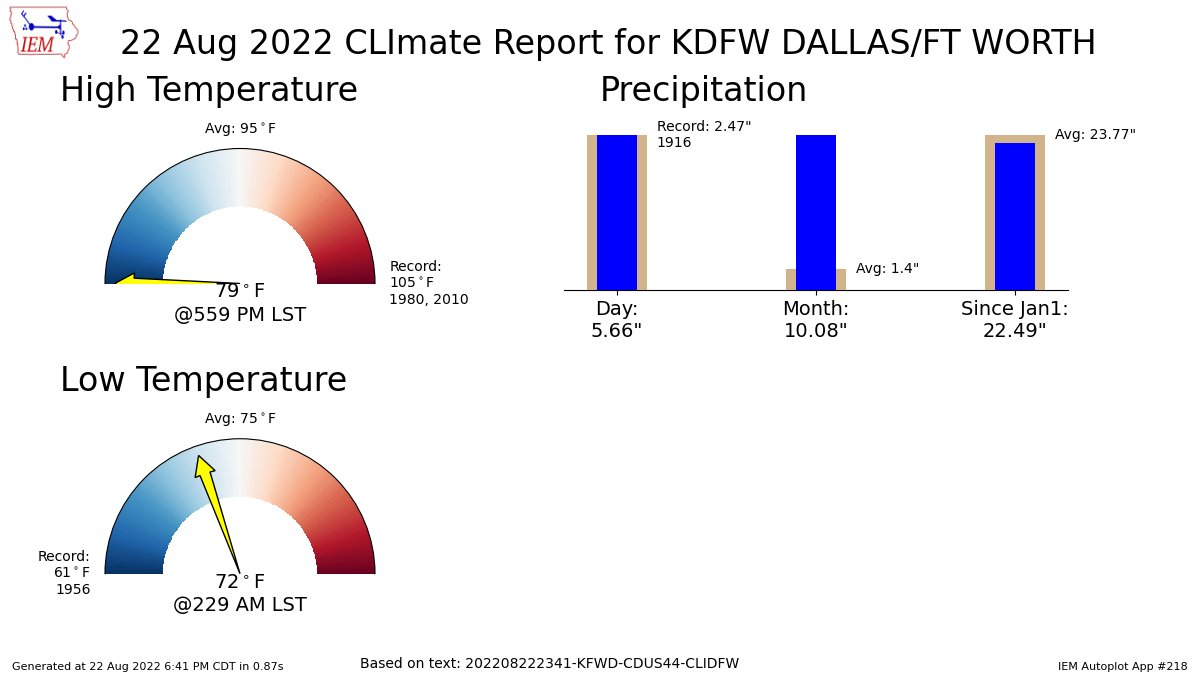
IIRC, Ntxw mentioned that the record low high for today was 80F
2 likes
Winter time post are almost exclusively focused on the DFW area.
-
bubba hotep
- S2K Supporter
- Posts: 6013
- Joined: Wed Dec 28, 2016 1:00 am
- Location: Collin County Texas
Re: Texas Summer 2022
bubba hotep wrote:DFW approaching 1/3" for the day. I'm calling it now. Based on recent model trends and the evolving background state, DFW will end up with above avg rainfall for August. The bigger question - Can DFW rally for an avg rainfall year?
Texas should do fine temp/precp wise as we transition to Fall. Then the big question is will we see a 3rd winter in a row with significant winter wx in DFW?
2 likes
Winter time post are almost exclusively focused on the DFW area.
-
South Texas Storms

- Professional-Met

- Posts: 4256
- Joined: Thu Jun 24, 2010 12:28 am
- Location: Houston, TX
Re: Texas Summer 2022
Horrible to see what happened in Dallas last night. Hope everyone stayed safe up there.
The SA Airport rain gauge is cursed this year. Only 0.25 inch today. Depressing.
The SA Airport rain gauge is cursed this year. Only 0.25 inch today. Depressing.
0 likes
-
Clearcloudz

- Category 2

- Posts: 540
- Joined: Sun Jun 10, 2018 1:46 pm
- Location: Rosenberg TX


-
UTSARoadrunner4
- Category 1
- Posts: 265
- Age: 29
- Joined: Wed Aug 26, 2020 11:19 pm
Re: Texas Summer 2022
South Texas Storms wrote:Horrible to see what happened in Dallas last night. Hope everyone stayed safe up there.
The SA Airport rain gauge is cursed this year. Only 0.25 inch today. Depressing.
It’s almost like we have a dome around us. Sucks.
1 likes

Re: Texas Summer 2022
UTSARoadrunner4 wrote:South Texas Storms wrote:Horrible to see what happened in Dallas last night. Hope everyone stayed safe up there.
The SA Airport rain gauge is cursed this year. Only 0.25 inch today. Depressing.
It’s almost like we have a dome around us. Sucks.
Can anyone seriously explain this? It doesn't make sense to me at all. It does look like we have something stopping it.
1 likes
Personal Forecast Disclaimer:
The posts in this forum are NOT official forecast and should not be used as such. They are just the opinion of the poster and may or may not be backed by sound meteorological data. They are NOT endorsed by any professional institution or storm2k.org. For official information, please refer to the NHC and NWS products.
The posts in this forum are NOT official forecast and should not be used as such. They are just the opinion of the poster and may or may not be backed by sound meteorological data. They are NOT endorsed by any professional institution or storm2k.org. For official information, please refer to the NHC and NWS products.
Re: Texas Summer 2022
Clearcloudz wrote:00Z HRRR Model for southeast Texas.
https://i.imgur.com/f9UkPKc.png
00Z NAM 3KM
https://i.imgur.com/dOKD28v.png
https://i.imgur.com/NUovuJl.jpg
Meh, doesn’t look like much for most areas. Last Friday will probably end up being the big winner for my area.
1 likes

-
jasons2k

- Storm2k Executive

- Posts: 8290
- Age: 52
- Joined: Wed Jul 06, 2005 12:32 pm
- Location: The Woodlands, TX
Re: Texas Summer 2022
It looks like the boundary is stalling across Harris County now. This could setup some training storms across metro Houston overnight.
0 likes
-
somethingfunny

- ChatStaff

- Posts: 3926
- Age: 37
- Joined: Thu May 31, 2007 10:30 pm
- Location: McKinney, Texas
Re: Texas Summer 2022
SoupBone wrote:UTSARoadrunner4 wrote:South Texas Storms wrote:Horrible to see what happened in Dallas last night. Hope everyone stayed safe up there.
The SA Airport rain gauge is cursed this year. Only 0.25 inch today. Depressing.
It’s almost like we have a dome around us. Sucks.
Can anyone seriously explain this? It doesn't make sense to me at all. It does look like we have something stopping it.
It seems like the 2022 Summer Heat Wave and Drought has been shrinking toward the center of its' impact region over the past few weeks and may be gearing up for a dramatic end later on in Central Texas. One of these days, flood comes for us all.
I hope some of those extreme model outputs nearby Houston don't verify. Widespread 4-6 inches would be perfect
0 likes
I am not a meteorologist, and any posts made by me are not official forecasts or to be interpreted as being intelligent. These posts are just my opinions and are probably silly opinions.
-
South Texas Storms
- Professional-Met
- Posts: 4256
- Joined: Thu Jun 24, 2010 12:28 am
- Location: Houston, TX
Re: Texas Summer 2022
jasons2k wrote:It looks like the boundary is stalling across Harris County now. This could setup some training storms across metro Houston overnight.
Yeah I picked up a little over 2 inches earlier this morning on the northwest side of town. Not too bad.
2 likes
-
Iceresistance

- Category 5
- Posts: 9579
- Age: 22
- Joined: Sat Oct 10, 2020 9:45 am
- Location: Tecumseh, OK/Norman, OK
Re: Texas Summer 2022
Next week is looking very unsettled, it's a no wonder why the CPC has taken note of the heavy rainfall potential for Texas.
0 likes
Bill 2015 & Beta 2020
Winter 2020-2021
All observations are in Tecumseh, OK unless otherwise noted.
Winter posts are focused mainly for Oklahoma & Texas.
Take any of my forecasts with a grain of salt, refer to the NWS, SPC, and NHC for official information
Never say Never with weather! Because ANYTHING is possible!
Winter 2020-2021
All observations are in Tecumseh, OK unless otherwise noted.
Winter posts are focused mainly for Oklahoma & Texas.
Take any of my forecasts with a grain of salt, refer to the NWS, SPC, and NHC for official information
Never say Never with weather! Because ANYTHING is possible!
Return to “USA & Caribbean Weather”
Who is online
Users browsing this forum: Lagreeneyes03, wxman22 and 216 guests