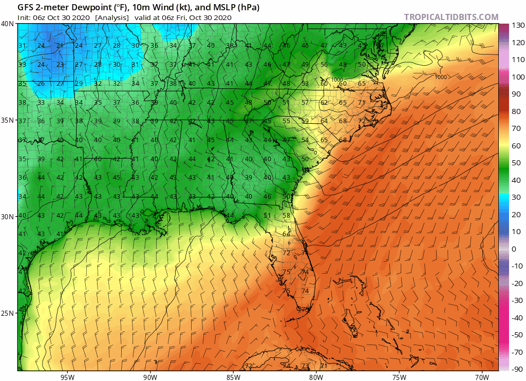
gatorcane wrote:Some nice fall weather on the way for Florida even South Florida. Latest disco from NWS Miami:Long Term...
Friday night through Wednesday night...
Behind a cold front that should be through the area by Friday
night, a 500mb ridge builds over the Gulf of Mexico. however, the
ridge is flat, with nearly zonal flow just to the north of the
high. The surface front should stall over the Keys, according to
both the GFS and the ECMWF. With the main surface high well to the
north, this should allow for some of the moisture to creep back
into the southern portion of the area for Saturday, bringing a
chance of showers and perhaps a few isolated thunderstorms to the
area.
By Sunday, a strong 500mb trough digs over the eastern United
States and the high that was to the north, is pushed off to the
east. This will allow for the stalled front to drift back to the
north, bringing some additional instability and moisture to South
Florida for Sunday, especially for the Atlantic waters and the
adjacent coast.
There is a strong surface low pressure system to the north, which
has its own cold front to push into the area. This front should
make its way through the area late Sunday into Monday. This second
front will advect a drier air mass into the area, with dew points
on Monday in the mid to upper 60s, and by Tuesday, from the upper
50s, west of the lake, to the mid 60s near the Atlantic coast.
This will also bring a cooler air mass into the area, with high
temperatures on tuesday only in the 70s.
This strong surface high, which is bringing the cooler and drier
weather, is forecast to remain over the area through the middle of
the week.
https://forecast.weather.gov/product.ph ... glossary=0
I know it’s only been since early May that we had high temperatures below 80° but at the speed this years going that feels like forever ago!