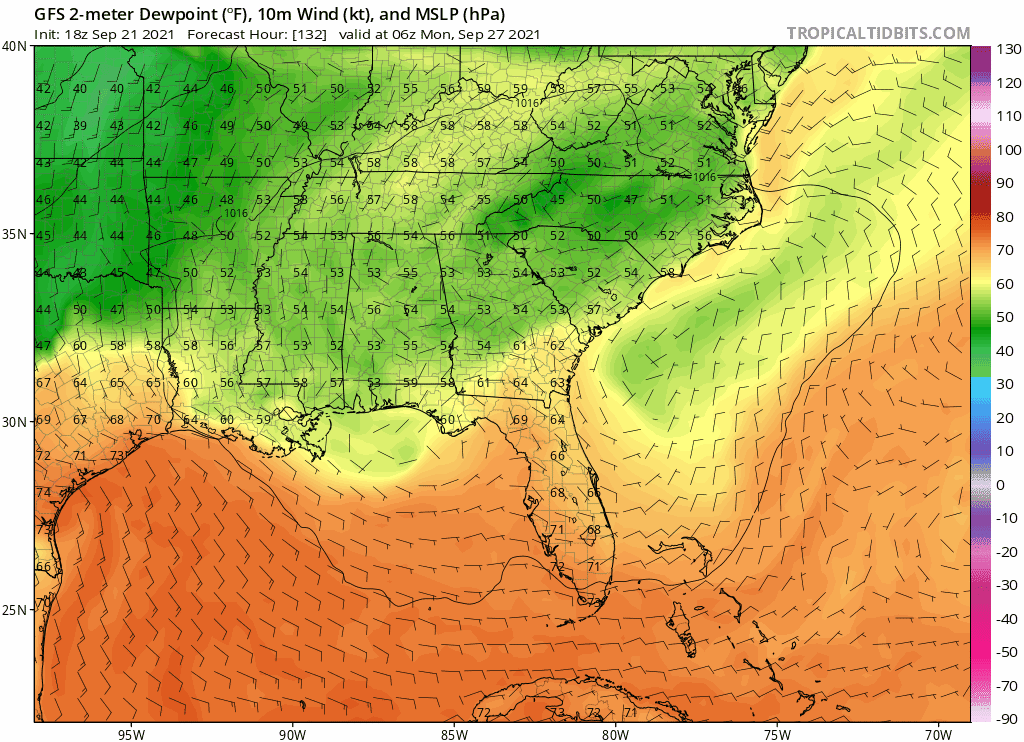
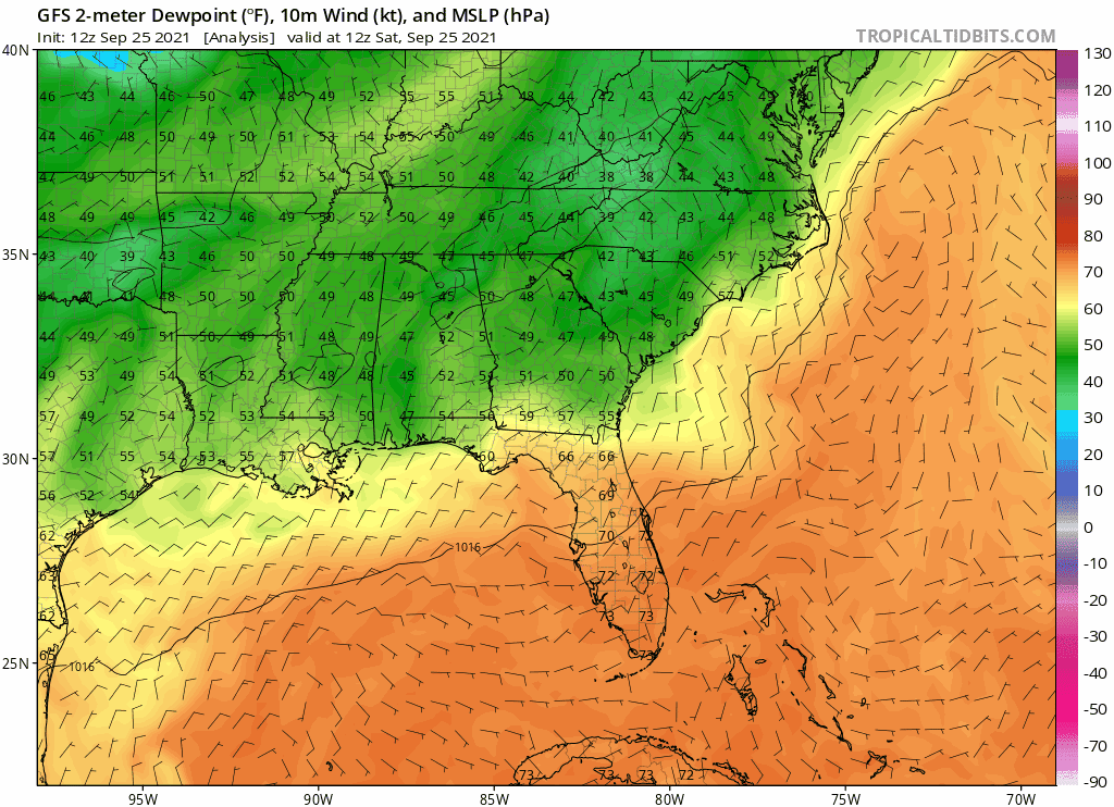
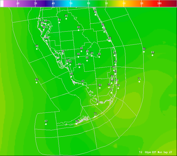
NWS Miami disco on fronts:
LONG TERM (Thursday Night through Tuesday)...
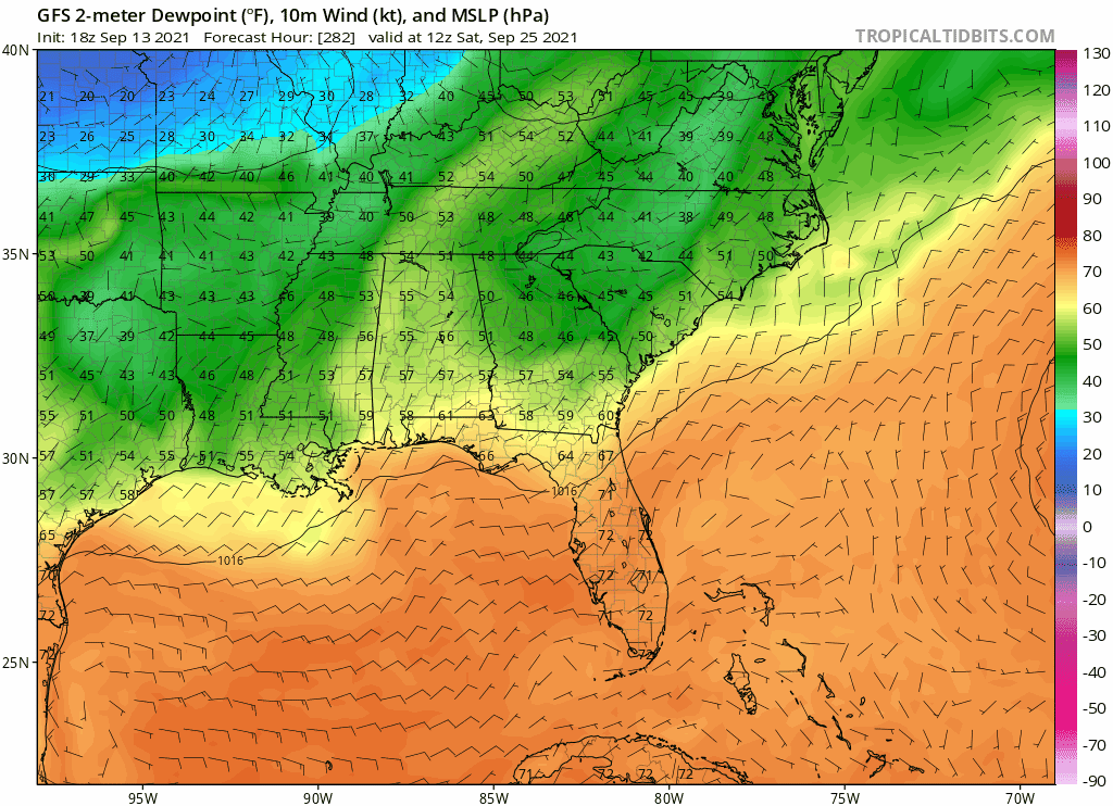
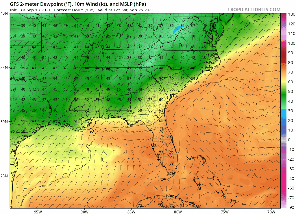
As all eyes focus on the first autumn cold front of the season,
the pattern across south Florida will be mostly unchanged.
Diurnally driven convection will continue through much of the up
coming weekend. Globals show the frontal boundary stalling along
or perhaps just south of the I-4 corridor through the weekend as
the front becomes passive. With a relatively stagnant lower level
flow, sea/gulf breeze activity will initiate each afternoon.
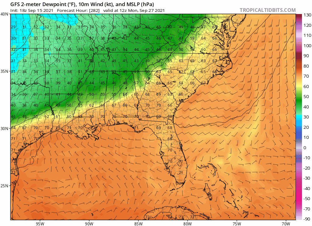
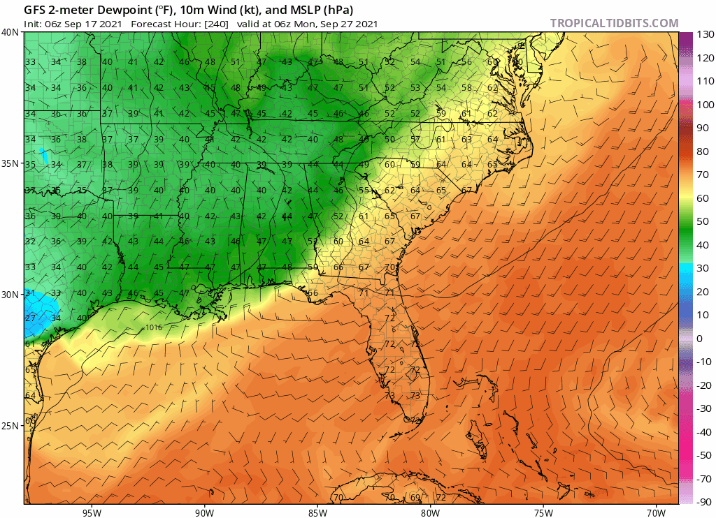
The upper level synoptics become somewhat more interesting going
into the start of the new workweek. Globals indicate our upper
level flow will begin to shift to a drier northwesterly flow as a
H5 upper level trough begins to amplify just a bit just
downstream over the western Atlantic. This may help bring the
aforementioned front back to life somewhat and bring it closer to
the region. Spatial and temporal differences exist so the
specifics are still a bit murky, however, with most guidance
really drying the upper levels, started a slight downward trend in
POPs/QPF toward the end of the period with the best rainfall
potential residing along and south of Alligator Alley.
https://forecast.weather.gov/product.ph ... glossary=0