

Texas Fall 2018
Moderator: S2k Moderators
Forum rules

The posts in this forum are NOT official forecast and should not be used as such. They are just the opinion of the poster and may or may not be backed by sound meteorological data. They are NOT endorsed by any professional institution or STORM2K.
-
Brent
- S2K Supporter

- Posts: 38737
- Age: 37
- Joined: Sun May 16, 2004 10:30 pm
- Location: Tulsa Oklahoma
- Contact:
Re: Texas Fall 2018
Euro has a good looking vort near Matagorda at 144
a lot of rain on the Euro for most rain into DFW Sunday/Monday
a lot of rain on the Euro for most
rain into DFW Sunday/Monday
1 likes
#neversummer
-
Brent
- S2K Supporter
- Posts: 38737
- Age: 37
- Joined: Sun May 16, 2004 10:30 pm
- Location: Tulsa Oklahoma
- Contact:
Re: Texas Fall 2018
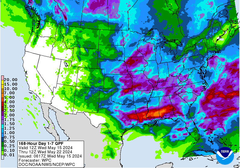
Cpv17 wrote:Man, the Euro absolutely soaks Texas
yeah... the rainfall map is beautiful
We might go into a flooding pattern early

2 likes
#neversummer
-
Yukon Cornelius
- S2K Supporter
- Posts: 1842
- Age: 42
- Joined: Thu Dec 20, 2012 9:23 pm
- Location: Dean, TX/Westcliffe, CO
-
rwfromkansas
- Category 5

- Posts: 3032
- Joined: Sat Aug 27, 2005 12:47 am
- Location: North Fort Worth
Re: Texas Fall 2018
Don’t have a chance to check now....does that tropical system give DFW any rain, or just get stuck and rain out south?
0 likes
-
Haris

- Category 5
- Posts: 1814
- Joined: Mon Nov 27, 2017 8:19 pm
- Location: ( Bee Cave) West Austin, Texas
Re: Texas Fall 2018
70% chance of development eps
40% NHC .
40% NHC .
1 likes
Weather geek and a storm spotter in West Austin. Not a degreed meteorologist. Big snow fan. Love rain and cold! Despise heat!
-
South Texas Storms

- Professional-Met

- Posts: 4256
- Joined: Thu Jun 24, 2010 12:28 am
- Location: Houston, TX
Re: Texas Fall 2018
rwfromkansas wrote:Don’t have a chance to check now....does that tropical system give DFW any rain, or just get stuck and rain out south?
Depends on how strong the ridge over the Central U.S. is. Too early to tell how much, if any, rain DFW could get from it.
0 likes

Re: Texas Fall 2018
Brent wrote:Cpv17 wrote:Man, the Euro absolutely soaks Texas
yeah... the rainfall map is beautiful
We might go into a flooding pattern early
Here in Houston, we are already at that point with flash flood warnings issued today, due to the heavy rains yesterday.
0 likes
Houston, Texas. Allison '01, Rita '05, Dolly '08, Ike '08, Issac '12, Harvey '17
-
ThunderSleetDreams

- S2K Supporter
- Posts: 1510
- Age: 43
- Joined: Tue Dec 20, 2011 4:42 pm
- Location: S of Weimar, TX
Re: Texas Fall 2018
Cpv17 wrote:Well well well
Ugh, another rainy gameday if that verifies. It can rain the first half of this week, then it needs to go away.
0 likes
#NeverSummer
I hibernate when it gets above 75 degrees!
I hibernate when it gets above 75 degrees!
-
Brent
- S2K Supporter
- Posts: 38737
- Age: 37
- Joined: Sun May 16, 2004 10:30 pm
- Location: Tulsa Oklahoma
- Contact:
Re: Texas Fall 2018
rwfromkansas wrote:Don’t have a chance to check now....does that tropical system give DFW any rain, or just get stuck and rain out south?
as of now... the Euro yes the GFS not really, though the GFS does have a little rain, the Euro just has way more...
0 likes
#neversummer
Re: Texas Fall 2018
Houston area fixing to be hit again with the rains and storms. Flash flood watch goes into effect in less than one hour.

1 likes
Houston, Texas. Allison '01, Rita '05, Dolly '08, Ike '08, Issac '12, Harvey '17
-
weatherdude1108
- Category 5
- Posts: 4228
- Joined: Tue Dec 13, 2011 1:04 pm
- Location: Northwest Austin/Cedar Park, TX
Re: Texas Fall 2018
Area Forecast Discussion
National Weather Service Austin/San Antonio TX
318 PM CDT Mon Sep 10 2018
.SHORT TERM (Tonight through Tuesday Night)...
Light rain with embedded pockets of moderate rainfall are persisting
across much of the region this afternoon. Water vapor imagery shows
drier low-level air working its way into the region from Mexico and
this will help diminish the overall heavy rain threat over the next
few hours and have cancelled the Flash Flood Watch as a result. Still
cannot rule out some minor flooding issues through the evening,
however. An upper trough axis will continue to straddle the region
tonight and at least isolated shower activity will likely linger
along and east of the I-35 corridor. Cloud cover associated with this
rain should linger across most of the area save for the Edwards
Plateau and parts of the Rio Grande Plains where drier air is located
with overnight lows in the mid 60s to lower 70s.
Daytime heating will allow for scattered shower and thunderstorms to
develop across the Coastal Plains on Tuesday with highs in the 80s
across the region. Depending on how far east the trough axis is able
to move tonight, some of this activity may be able to develop as far
west as the Hill Country. Activity will diminish some in coverage
Tuesday night, but lingering upper level forcing will keep at least
low rain chances in the forecast for the Coastal Plains. Expect lows
in the mid 60s to low 70s Tuesday night.
&&
.LONG TERM (Wednesday through Monday)...
Similar conditions are expected on Wednesday and Thursday as the
upper trough lingers over the state with scattered showers and
thunderstorms developing across the coastal plains and towards the
I-35 corridor as temperatures rise into the mid 80s to near 90 each
day. The forecast for Friday through Monday will be largely dependent
on the evolution of a tropical wave in the Caribbean this afternoon.
12Z guidance brings this wave across the Yucatan Peninsula and into
the northwest Gulf Thursday into Friday, but remains inconsistent on
the trajectory and intensity of this wave as it moves towards Texas.
Wind shear over the northwest Gulf weakens mid to late this week,
which may help the wave develop further into a tropical depression
as it approaches the Texas coast. Regardless of whether or not
additional tropical development occurs, tropical moisture associated
with this feature will result in increasing rain chances... and the
potential for heavy rain... for the region. Rain associated with this
wave may linger into Monday. Rain and cloud cover will help keep
temperatures near to below seasonal normals this weekend, with highs
in the 80s to near 90.
1 likes
The preceding post is NOT an official forecast, and should not be used as such. It is only the opinion of the poster and may or may not be backed by sound meteorological data. It is NOT endorsed by any professional institution including storm2k.org. For Official Information please refer to the NHC and NWS products.
-
Brent
- S2K Supporter
- Posts: 38737
- Age: 37
- Joined: Sun May 16, 2004 10:30 pm
- Location: Tulsa Oklahoma
- Contact:
Re: Texas Fall 2018
2nd day in a row stuck in the 70s at mid afternoon
I could get used ro this
I could get used ro this
1 likes
#neversummer
-
weatherdude1108
- Category 5
- Posts: 4228
- Joined: Tue Dec 13, 2011 1:04 pm
- Location: Northwest Austin/Cedar Park, TX
Re: Texas Fall 2018
73 for a high here at house. Raining again.
My dad said it feels like we are in Seattle.
My dad said it feels like we are in Seattle.
2 likes
The preceding post is NOT an official forecast, and should not be used as such. It is only the opinion of the poster and may or may not be backed by sound meteorological data. It is NOT endorsed by any professional institution including storm2k.org. For Official Information please refer to the NHC and NWS products.
-
Haris
- Category 5
- Posts: 1814
- Joined: Mon Nov 27, 2017 8:19 pm
- Location: ( Bee Cave) West Austin, Texas
Re: Texas Fall 2018
weatherdude1108 wrote:73 for a high here at house. Raining again.
My dad said it feels like we are in Seattle.
Yep . Light rain . 72F . 8th day in a row with something measurable . Though today was only .02" LOL . But overcast! loved it!!
2 likes
Weather geek and a storm spotter in West Austin. Not a degreed meteorologist. Big snow fan. Love rain and cold! Despise heat!
Re: Texas Fall 2018
Some heavy mist with some fog rolling in at the moment. Kind of a strange look for mid September. Nevertheless, I will take it. Go autumn.
3 likes