Page 17 of 112
Re: Texas Fall 2018
Posted: Wed Sep 19, 2018 8:12 pm
by Portastorm
utpmg wrote:weatherdude1108 wrote:Jim Spencer, the local weathercaster in Austin mentioned yesterday that the high was 95 at Camp Mabry ( I think 95?). He mentioned in passing that there's no reason for it to be 95 degrees after the inches of rain we received, and how it shows the effects of warming coming within a degree of the record, or something like that. Can't remember exactly what he said.
I was a little skeptical of what he mentioned, just because it seemed like he jumped to a conclusion based on the main-stream media bias towards warming. Not to say background warming isn't happening to an extent, but I was thinking in my head that Camp Mabry is surrounded by concrete in the area, especially the expanded Mopac thoroughfare, and if the wind blows right, that hotter air could hit the sensors and skew them towards a higher reading.
But playing the other side, I know Bergstrom was about the same temperature, and they tend to be cooler.
It could have been an odd day atmospherically(?). Not denying or playing alarmist, just thought it was an interesting blurb he decided to throw in there. So hard to figure out what's real and what's hyped anymore.
All I know is I'm looking forward to more rain!

Surely the amount of pavement at Bergstrom dwarfs that near Mabry; also isn't the temperature station in the middle? Mabry is a pretty green area, like a big park. Bergstrom is surrounded by pavement.
Actually there are all kinds of problems with what Jim Spencer asserts as the reasoning for the warmth at Camp Mabry. Jim is a very good TV meteorologist but he is also obsessed with climate change and global warming. It is constantly in his comments and online presence. His assertion about the weather Tuesday in Austin is ... well, I couldn’t disagree more with him.
Anyone who lives in Austin and has a good car outside temp gauge and drives up and down Mopac will see daily that the temperature near Camp Mabry is always several degrees warmer than places on Mopac roughly 1-2 miles south or north of Camp Mabry. I have personally witnessed this phenomenon more times than I remember. And the impact is most pronounced during the heating of a sunny day. Furthermore, Mopac has three sides to it that are nothing but buildings, roads, concrete, and steel. Only the areas west of Mabry have some vegetation and not as much urban sprawl. I’ve even gotten confirmation of this “effect” from several well known mets here in town besides our friend Jim.
Bergstrom airport? My friends, the ASOS site there is in a river valley. That is why KAUS often records new low temp records on mornings where the rest of the metro are about 5-8 degrees warmer. Outside of the runways and airport buildings themselves, the general location is in a spot which frequently demonstrates the type of cooling that is maximized on cold, clear evenings. The amount of concrete/steel/buildings is much more dense around Mabry than it is at the airport.
Re: Texas Fall 2018
Posted: Wed Sep 19, 2018 8:13 pm
by bubba hotep
Cpv17 wrote:18z GFS is way drier across Texas compared to previous runs. Probably doesn’t change anything though.
MEG continues to tweak the FV3 and it has been performing much better here lately (IMHO). This is what it showed at 18z

Re: Texas Fall 2018
Posted: Wed Sep 19, 2018 10:54 pm
by utpmg
Portastorm wrote:utpmg wrote:weatherdude1108 wrote:Jim Spencer, the local weathercaster in Austin mentioned yesterday that the high was 95 at Camp Mabry ( I think 95?). He mentioned in passing that there's no reason for it to be 95 degrees after the inches of rain we received, and how it shows the effects of warming coming within a degree of the record, or something like that. Can't remember exactly what he said.
I was a little skeptical of what he mentioned, just because it seemed like he jumped to a conclusion based on the main-stream media bias towards warming. Not to say background warming isn't happening to an extent, but I was thinking in my head that Camp Mabry is surrounded by concrete in the area, especially the expanded Mopac thoroughfare, and if the wind blows right, that hotter air could hit the sensors and skew them towards a higher reading.
But playing the other side, I know Bergstrom was about the same temperature, and they tend to be cooler.
It could have been an odd day atmospherically(?). Not denying or playing alarmist, just thought it was an interesting blurb he decided to throw in there. So hard to figure out what's real and what's hyped anymore.
All I know is I'm looking forward to more rain!

Surely the amount of pavement at Bergstrom dwarfs that near Mabry; also isn't the temperature station in the middle? Mabry is a pretty green area, like a big park. Bergstrom is surrounded by pavement.
Actually there are all kinds of problems with what Jim Spencer asserts as the reasoning for the warmth at Camp Mabry. Jim is a very good TV meteorologist but he is also obsessed with climate change and global warming. It is constantly in his comments and online presence. His assertion about the weather Tuesday in Austin is ... well, I couldn’t disagree more with him.
Anyone who lives in Austin and has a good car outside temp gauge and drives up and down Mopac will see daily that the temperature near Camp Mabry is always several degrees warmer than places on Mopac roughly 1-2 miles south or north of Camp Mabry. I have personally witnessed this phenomenon more times than I remember. And the impact is most pronounced during the heating of a sunny day. Furthermore, Mopac has three sides to it that are nothing but buildings, roads, concrete, and steel. Only the areas west of Mabry have some vegetation and not as much urban sprawl. I’ve even gotten confirmation of this “effect” from several well known mets here in town besides our friend Jim.
Bergstrom airport? My friends, the ASOS site there is in a river valley. That is why KAUS often records new low temp records on mornings where the rest of the metro are about 5-8 degrees warmer. Outside of the runways and airport buildings themselves, the general location is in a spot which frequently demonstrates the type of cooling that is maximized on cold, clear evenings. The amount of concrete/steel/buildings is much more dense around Mabry than it is at the airport.
Isn't the weather station right off the maintenance road in Mabry? (I used to run there daily but have only been there a few times since they added security after 9/11.)
Re: Texas Fall 2018
Posted: Wed Sep 19, 2018 11:39 pm
by Haris

Ooof! This is why we should not worry about one run . new 0z gfs coming in with 10" in SATX!!!
Re: Texas Fall 2018
Posted: Thu Sep 20, 2018 7:25 am
by bubba hotep
FWD is considering issuing flood watches but it sounds like they are going to wait until tomorrow to issue.
Re: Texas Fall 2018
Posted: Thu Sep 20, 2018 7:43 am
by Yukon Cornelius
bubba hotep wrote:FWD is considering issuing flood watches but it sounds like they are going to wait until tomorrow to issue.
We’ve been put in one up here already.
Re: Texas Fall 2018
Posted: Thu Sep 20, 2018 3:07 pm
by Cpv17
Dang!

they decided to break out that 4th shade of green! Gotta love it!


Re: Texas Fall 2018
Posted: Thu Sep 20, 2018 3:20 pm
by Brent
The 12z euro stalls the front late next week instead of bringing in much colder air and has another flooding threat

Re: Texas Fall 2018
Posted: Thu Sep 20, 2018 3:23 pm
by starsfan65
Brent wrote:The 12z euro stalls the front late next week instead of bringing in much colder air and has another flooding threat

where does it stall out?
Re: Texas Fall 2018
Posted: Thu Sep 20, 2018 3:29 pm
by Brent
starsfan65 wrote:Brent wrote:The 12z euro stalls the front late next week instead of bringing in much colder air and has another flooding threat

where does it stall out?
Pretty much over DFW flooding would be a huge issue on the 12z euro
Well over a foot in spots in the northern suburbs
Re: Texas Fall 2018
Posted: Thu Sep 20, 2018 3:29 pm
by bubba hotep
12z Euro drops a 20" rain bomb on Collin County

Re: Texas Fall 2018
Posted: Thu Sep 20, 2018 3:35 pm
by Brent
Re: Texas Fall 2018
Posted: Thu Sep 20, 2018 4:12 pm
by Brent
no surprise here
The National Weather Service in Fort Worth has issued a
* Flash Flood Watch for portions of north central Texas and
northeast Texas, including the following areas, in north
central Texas, Collin, Comanche, Cooke, Dallas, Denton,
Eastland, Erath, Fannin, Grayson, Hood, Hunt, Jack, Johnson,
Montague, Palo Pinto, Parker, Rockwall, Somervell, Stephens,
Tarrant, Wise, and Young. In northeast Texas, Delta, Hopkins,
and Lamar.
* From Friday morning through Saturday afternoon
* Showers and thunderstorms are expected to become more numerous
through the day Friday and continuing into Saturday. The
heaviest rainfall may occur late Friday into Friday night.
* Rainfall totals of 2 to 5 inches will be possible especially
north of I-20 toward the Red River through Saturday. Isolated
heavier amounts in excess of 5 inches can be expected.
Re: Texas Fall 2018
Posted: Thu Sep 20, 2018 4:13 pm
by Cpv17
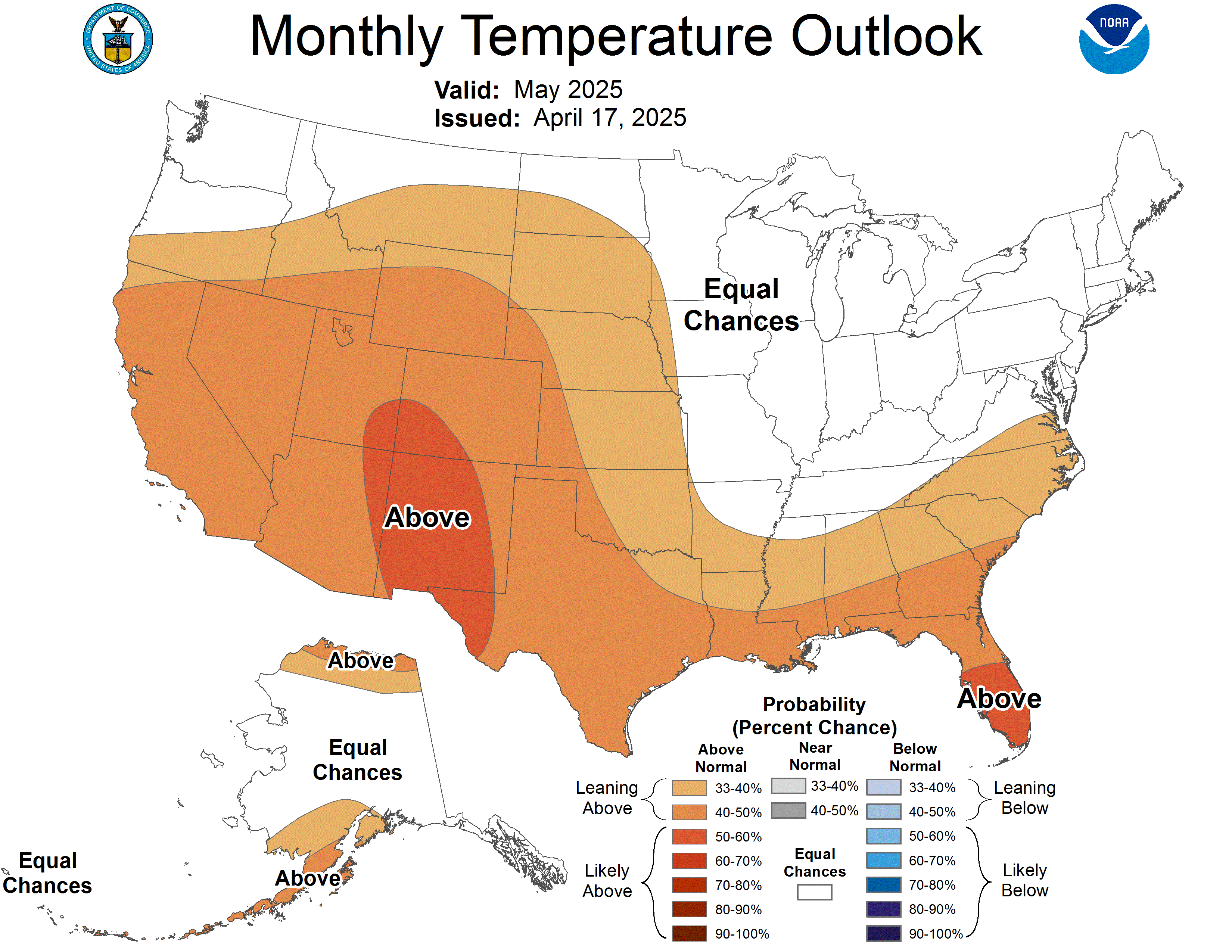
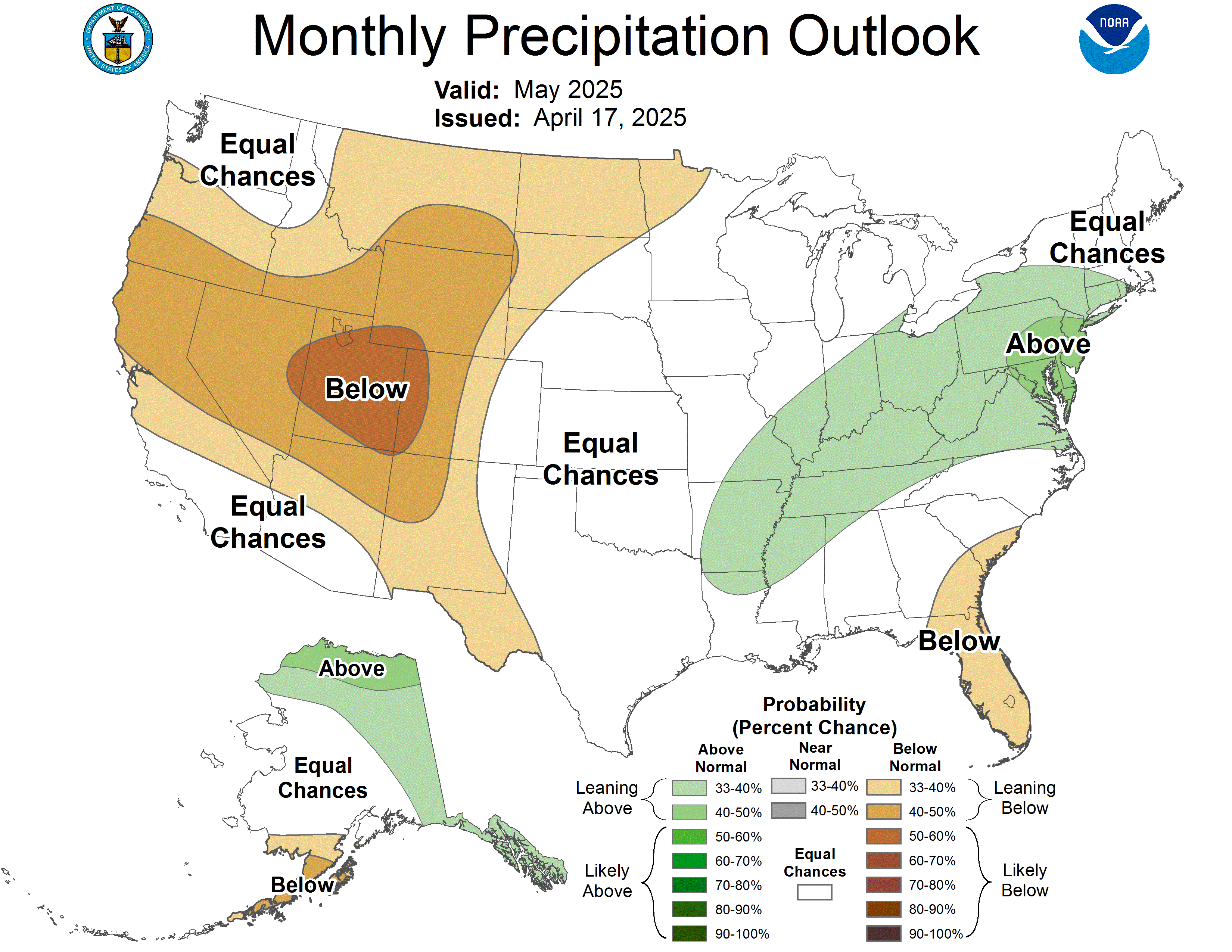
October forecast is out:


Re: Texas Fall 2018
Posted: Thu Sep 20, 2018 4:30 pm
by Haris
Kicking off the pattern strong . .34” today so far at the HWC in Western Austin .
More from the S as I type .
Re: Texas Fall 2018
Posted: Thu Sep 20, 2018 4:37 pm
by gpsnowman
Haris wrote:Kicking off the pattern strong . .34” today so far at the HWC in Western Austin .
More from the S as I type .
Doing science homework with the young one when I hear a loud noise outside. Looked and it was pouring heavy rain for about one minute then it was over. Pretty cool to see with the sun out.
Re: Texas Fall 2018
Posted: Thu Sep 20, 2018 4:50 pm
by Brent
gpsnowman wrote:Haris wrote:Kicking off the pattern strong . .34” today so far at the HWC in Western Austin .
More from the S as I type .
Doing science homework with the young one when I hear a loud noise outside. Looked and it was pouring heavy rain for about one minute then it was over. Pretty cool to see with the sun out.
just went outside to roll the car windows up and already rain drops

Earlier than expected
Re: Texas Fall 2018
Posted: Thu Sep 20, 2018 5:53 pm
by Haris

[
Honestly wasn’t expecting this soo early but winds near 45mph and torrential rain !!!
.89” today . September over 11” !!’
Re: Texas Fall 2018
Posted: Thu Sep 20, 2018 6:20 pm
by Brent
Big thunderstorm complex moving in and some schools moved football to tonight to avoid storms

Seriously though if this is an indicator of tomorrow and Saturday better find a boat
Re: Texas Fall 2018
Posted: Thu Sep 20, 2018 6:24 pm
by starsfan65
Brent wrote:Big thunderstorm complex moving in and some schools moved football to tonight to avoid storms

Seriously though if this is an indicator of tomorrow and Saturday better find a boat
Big thunderstorm complex?


 they decided to break out that 4th shade of green! Gotta love it!


