#350 Postby Portastorm » Sat Jul 14, 2012 8:22 am
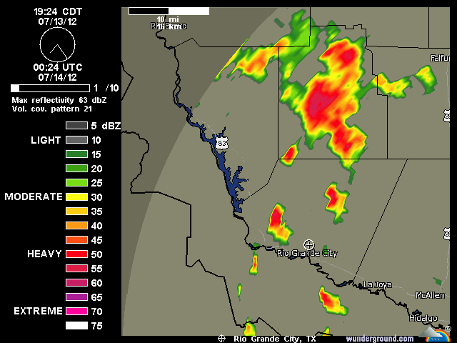
Interesting forecast discussion early this morning out of NWSFO EWX. The eventual track of the upper level low (ULL) will determine, of course, who gets a lot of rain and who doesn't. Scattered showers/storms seem a good bet though this weekend for most of south central Texas. I will point out that after looking at satellite and water vapor loops this morning, the ULL to me seems to be doing a sit-and-spin over SE Texas.
-------------
DISCUSSION...
THE MAIN FOCUS OF THE FORECAST FOR THE NEXT SEVERAL DAYS WILL BE
THE PROGRESS OF THE UPPER LEVEL TROUGH OVER EAST TEXAS. CURRENT
MODEL SOLUTIONS SHOW THE AXIS OF THE TROUGH SLOW MOVING WESTWARD
WITH TIME...MOVING COMPLETELY ACROSS SOUTH CENTRAL TEXAS AND INTO
MEXICO. FOR TODAY...BOTH THE GFS AND NAM SHOW PVA FOR OUR AREA AND
SLIGHTLY HIGHER PWATS VALUES FOR THE EASTERN HALF OF THE CWA. THIS
BODES WELL FOR SCATTERED CONVECTION TO DEVELOP DURING THE DAY AND
EARLY EVENING. PVA AND MOISTURE ADVECTION WILL CONTINUE INTO
SUNDAY AS THE TROUGH CONTINUES ITS WESTWARD TRACK. CONDITIONS LOOK
MORE FAVORABLE FOR CONVECTION SUNDAY WITH THE POTENTIAL FOR LOCALLY
HEAVY RAINFALL AS PWATS VALUES APPROACH THE 2 INCH MARK. FOR
MONDAY AND TUESDAY...THE TROUGH BECOMES MORE NEUTRALLY ORIENTED
LOWERING RAIN CHANCES SLIGHTLY. THE GFS AND ECMWF DIVERGE FROM
EACH OTHER WEDNESDAY THROUGH SATURDAY CONCERNING WHETHER THE LOW
TAKES A MORE NORTHWESTERN OR WESTERN TRACK. THE GFS KEEPS THE LOW ON
A WESTERN TRACK AND GIVES IT A SLIGHT NEGATIVE TILT AS IT STALLS
BRIEFLY SOUTH OF BIG BEND. THIS SOLUTION WOULD GIVE US MORE
WIDESPREAD RAIN CHANCES...ESPECIALLY OUT WEST...WITH THE
POSSIBILITY OF LOCALLY HEAVY DOWNPOURS. ON THE OTHER HAND THE
ECMWF TAKES THE TROUGH FURTHER TO THE NORTH WEDNESDAY AND THURSDAY
THEN BRINGS A WEAKNESS UP THE MEXICO SIDE OF THE RIO GRANDE
FRIDAY. THIS SOLUTION KEEPS WEDNESDAY RELATIVELY DRY THEN
INCREASES RAIN CHANCES THURSDAY AND FRIDAY. WENT WITH THE TRACK OF
THE GFS AND A BLEND OF THE TWO FOR RAIN CHANCES. OVER NEXT
WEEKEND BOTH MODELS TAKE THE LOW/WEAKNESS AWAY FROM THE AREA
LOWERING RAIN CHANCES THROUGH SUNDAY. LOOKING AT DAYTIME MAX
TEMPERATURES WENT A FEW DEGREES BELOW GUIDANCE IN THE SHORT TERM
THEN GRADUALLY WARMED THROUGH NEXT WEEKEND.
0 likes
Any forecasts under my name are to be taken with a grain of salt. Get your best forecasts from the National Weather Service and National Hurricane Center.


 POURING rain at the weatherdude center with lots of wind, lightning, and thunder! Too dangerous to check the gauge yet. I'll report later. Love it!