#4973 Postby jinftl » Wed Jul 01, 2009 9:43 pm
NWS Miami posted report on June 2009 weather in south florida...overall a hot and wet month...but as is always the case with florida rain storms, there was huge variability in rainfall totals in areas just a few miles apart. The month actually ended up about 3" below normal in rain in Fort Lauderdale (airport) and 6" below normal in Naples, while Miami (airport) was 3" above normal for the month.
While rainfall was variable across the reporting stations, one thing all areas had were above normal mean temperatures fopr the month. June 2009 was 1.0 deg above normal in Miami, 1.4 deg above normal in Naples, and 2.4 deg above normal in Fort Lauderdale.
What I will remember about June 2009 is the 100 degree reading in fort lauderdale....which tied the all-time high ever set at the reporting station....and was the first time since 1944 that a triple digit temp was recorded!
An interesting side note....although there was a lot of rain, it actually was a sunny month overall....in Miami there were only 4 days that were classified as 'cloudy' (over 80% cloud cover for the total day)...in Fort Lauderdale there were 0. If you timed the day right, each day in June had some 'fun in the sun' time.
From NWS Miami:
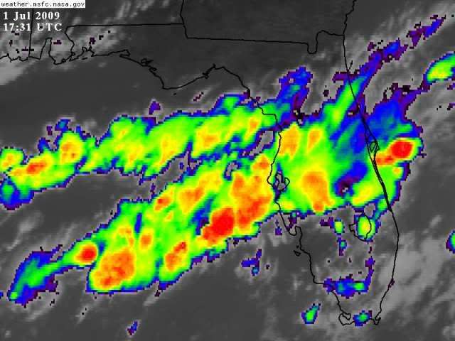
The month of June saw a continuation of the wet conditions which began over south Florida during the middle part of May. A trough of low pressure in the middle to upper levels of the atmosphere prevailed in the vicinity of the south Florida peninsula, western Bahamas and the Straits of Florida, leading to high levels of atmospheric instability which provided a favorable environment for many days of showers and thunderstorms. This pattern is fairly typical for June, which is south Florida’s wettest month on average. The end result was that many areas of the southern peninsula observed above normal rainfall during June.
Many observing sites measured over 10 inches of rain for the month, including Miami Beach (17.84 inches), NWS Miami at FIU University Park (14.38 inches), North Miami Beach (14.02 inches), Hialeah (13.09 inches), Cooper City (12.20 inches), Miami International Airport (11.64 inches), Marco Island (11.31 inches), Brighton (11.13 inches), Perrine (10.91 inches) and Hollywood Waste Water Plant (10.16 inches). Miami Beach’s total of 17.84 inches is the second highest June rainfall total on record, only surpassed by 1968 with 18.87 inches. Of particular note is that 9.3 inches fell in Miami Beach in a single afternoon on June 5, which easily surpassed the average rainfall for the entire month of June (6.9 inches).
As is normally the case in June, rainfall amounts varied widely from location to location, with large rainfall difference noted over small areas. Higher rainfall amounts in June tended to favor eastern areas versus immediate Gulf coastal areas; however there were large rainfall differences noted on both coasts. For example, Naples Regional Airport only recorded 2.27 inches of rain in June, while only four miles east in Golden Gate, over three times as much rain fell (7.25 inches). Another example on the east coast was Fort Lauderdale/Hollywood International Airport which received 6.21 inches, yet only four miles to the south, Hollywood Waste Water Plant recorded over 10 inches (10.16) of rain.
While rainfall and episodes of strong to severe thunderstorms were the main weather headlines during June, very hot temperatures also made their mark across the area. On June 22, an usually strong surface west wind set up over south Florida which held the east coast sea breeze from moving inland and caused temperatures to soar to the upper 90s to even 100 degrees over virtually all eastern sections. Fort Lauderdale tied their all-time record high temperature with a reading of 100 degrees. Miami International Airport tied their all-time June record with a reading of 98 degrees.
0 likes