Tornado Outbreak April 29-May 2, HIGH RISK AR, TN, MS
Posted: Mon Apr 26, 2010 8:20 pm
A week later, we might be doing this all over again. Seems to be aiming for the exact same areas hit last week into last weekend.
Welcome to Storm2k! Your Year Round Weather Community since 2002!
http://www.storm2k.org/phpbb2/
KWT wrote:Yeah moisture return is a fairly big question point, though I suspect its going to be increasingly less of a deal buster as it has been at times so far, so to speak!
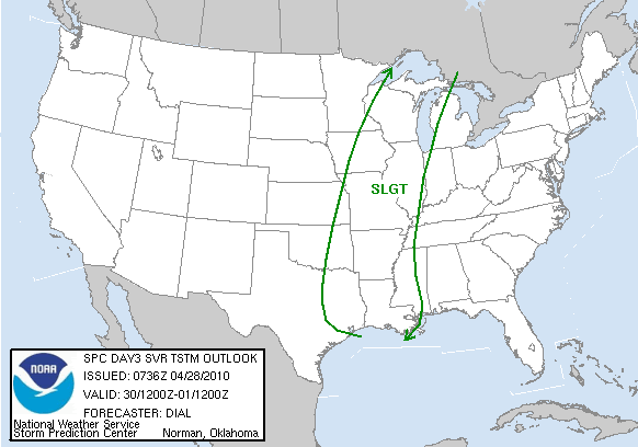
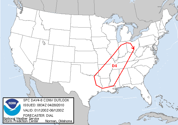
I think it's worth mentioning that in the Days 4-8 outlook, the implication certainly seemed to be that predictability due to model differences was much more the reason for not drawing further risk areas rather than any clear lack of potential.srainhoutx wrote:Day Four bears watching as well...
[img]http://i228.photobucket.com/albums/ee298/srainhoutx/04282010day48prob.gif[img]
So, if we get a greater moisture return than last weeks episode, but the same dynamics, what would that imply for the severe weather?
brunota2003 wrote:So, if we get a greater moisture return than last weeks episode, but the same dynamics, what would that imply for the severe weather?
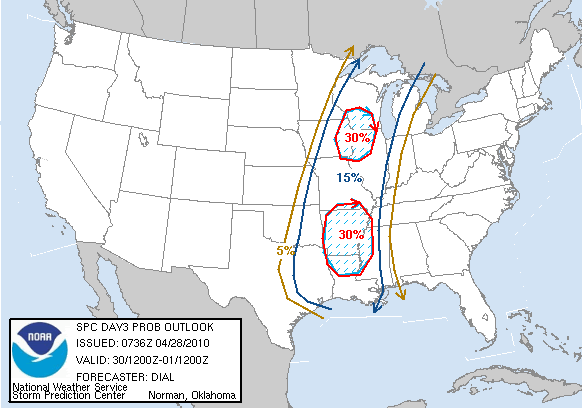
johnmarkthom wrote:New Day 2 outlook is out, showing greatest threat in IA MO and AR. Curious about the chances the SPC upgrading from slight to moderate in any of these areas in future outlooks since they are showing a hatched area.
srainhoutx wrote:Going to be another interesting weekend. It appears that things will progress a bit slower that progged (slower moving system) as this has been the trend the past few days. I would keep an eye on Saturday in areas near the Mid South (Memphis, TN Region). Also of interest is the stalling of the boundary near E TX and the deep surge of tropical moisture heading N from the GOM through the weekend. Stay Safe and heads up!