Page 1 of 1
Tuesday could be interesting... KS/OK/MO
Posted: Mon Apr 19, 2004 12:16 pm
by wx247
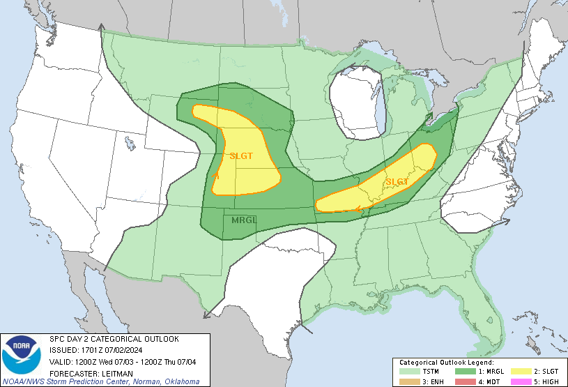
This area will need to be watched...especially eastern Kansas. It looks a good chance for some big storms here tomorrow. Looking like hail as the main threat right now IMHO, but tornadoes and damaging straight line winds not out of the question.

Posted: Mon Apr 19, 2004 2:15 pm
by David
Yay.
Posted: Mon Apr 19, 2004 8:42 pm
by simplykristi
It looks like we could have a chance for some severe weather here in KC tomorrow. There's a chance of rain overnight and in the morning. One of the TV meterologist says that if the weather clears up in the afternoon, we could have a squall line pass thru later afternoon/early evening. Just about the time I get home from work.
Kristi
Posted: Mon Apr 19, 2004 8:47 pm
by Guest
I am going to keep an eye on it as well about three hours north of you in Omaha, Kristi. This afternoon's AFD from Omaha NWS mentioned that frontal and low pressure position are the main players tomorrow as well as potential instability as you say with the clearing.
The SPC may very well expand the slight further north if the system moves a little further north than currently predicted. Thankfully, it will be squalls, not the discrete supercells with tornadoes Minnesota, Nebraska and Iowa experienced Sunday. However, a weak isolated tornado probably cannot be ruled out.
Posted: Tue Apr 20, 2004 6:32 am
by wx247
Yes Bri... the supercell threat should be limited, thank goodness. There could be some monster hail today though.
Posted: Tue Apr 20, 2004 7:45 am
by Brett Adair
Looks to be the main threat to me. The steepest lapse rates and the best inflow will be in East OK/SE KS/and MO today IMO. Looks like the trof kicking out this morning will develop a descent area of low pressure which could kick off some pretty good cells. Looking at Hodo's and SKEW-T's this morning, we could have a descent Tornado threat in the area with any supercells that do develop. We have large loops in OK/KS this morning on the Hodo. Some destabalization looks to occur in the region this afternoon as well aiding in SBCAPE of 2500J/kg + being reached with LI's of -4 or lower in the region. Someone is going to get rocked this after noon folks. The day two and three timeframes look pretty good fro severe as well since we have an abundance of systems getting ready to kick out.
Posted: Tue Apr 20, 2004 10:49 am
by wx247
And I am right in the middle of it... *sigh*

