Page 1 of 1

New Day 1-Moderate Risk MS/AL

Posted: Mon Mar 20, 2006 1:07 am
by Brent
:eek: :eek: :eek:

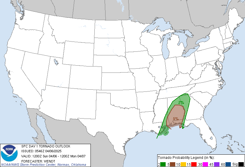
Image

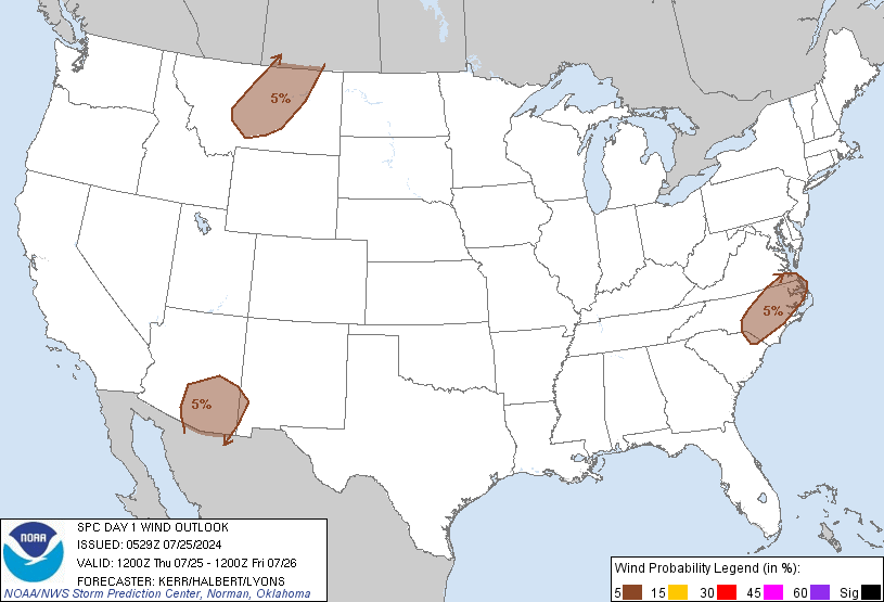
Image

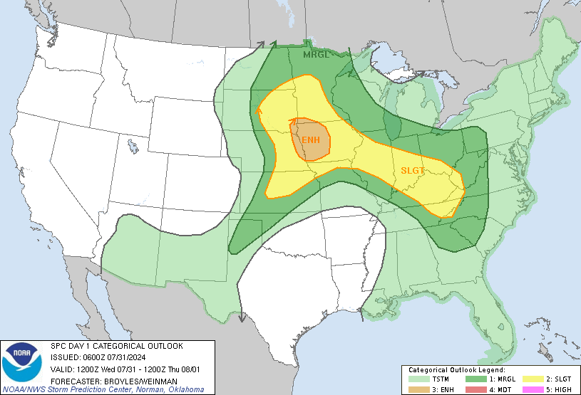
Image

DAY 1 CONVECTIVE OUTLOOK
NWS STORM PREDICTION CENTER NORMAN OK
1154 PM CST SUN MAR 19 2006

VALID 201200Z - 211200Z

...THERE IS A MDT RISK OF SVR TSTMS ACROSS PARTS OF MS AND AL...

...THERE IS A SLGT RISK OF SVR TSTMS ACROSS PARTS OF THE LOWER TO
MID MS VALLEY...TN VALLEY AND SRN PLAINS...

...LOWER TO MID MS VALLEY...
A POTENT UPPER-LEVEL TROUGH WILL ORGANIZE AND BEGIN TO ACCELERATE
EWD INTO THE SRN PLAINS TODAY. THE TROUGH WILL BECOME NEGATIVELY
TILTED AND SPREAD STRONG UPPER-LEVEL DIFFLUENCE ACROSS THE LOWER MS
AND TN VALLEYS. INCREASING LARGE-SCALE ASCENT COMBINED WITH MOISTURE
ADVECTION AND STRONG VERTICAL SHEAR WILL SUPPORT A WIDESPREAD SEVERE
WEATHER EVENT TODAY AND TONIGHT ACROSS THIS REGION.

AN MCS SHOULD BE ONGOING AT THE BEGINNING OF THE PERIOD NEAR THE
TX-LA STATE-LINE. THIS STORM COMPLEX WILL MOVE EWD ACROSS LA AND NRN
MS TODAY HELPING TO SHARPEN A WARM FRONT LIFTING NWD ACROSS MS...AL
AND GA. THE FRONT SHOULD BE LOCATED FROM CNTRL MS EXTENDING EWD
ACROSS CNTRL AL BY LATE AFTERNOON. STRONG MOISTURE ADVECTION AHEAD
OF THE APPROACHING SYSTEM SHOULD BRING SFC DEWPOINTS INTO THE MID TO
UPPER 60S F ACROSS THE SRN HALF OF MS AND AL. CURRENT THINKING IS
THAT THE INITIAL MORNING MCS WILL TRACK ENEWD ALONG THE COOL SIDE OF
THE BOUNDARY ALLOWING MODERATE INSTABILITY TO DEVELOP ACROSS SCNTRL
MS AND CNTRL AL BY LATE AFTERNOON. AS THE UPPER-TROUGH APPROACHES
AND AN ASSOCIATED 100 KT MID-LEVEL JET PUNCHES INTO THE LOWER MS
VALLEY...STORM INITIATION APPEARS LIKELY ACROSS SERN LA OR SWRN MS
DURING THE AFTERNOON WITH A SEVERE MCS DEVELOPING AND MOVING NEWD
ACROSS CNTRL MS AND NCNTRL AL.

FORECAST SOUNDINGS SHOW IMPRESSIVE SHEAR PROFILES ACROSS THE
MODERATE RISK AREA TODAY WITH 0-6 KM SHEAR VALUES OF 60-70 KT
SUGGESTING SUPERCELLS WILL BE LIKELY WITH STORMS THAT REMAIN
DISCREET. LARGE LOOPED HODOGRAPHS DUE TO THE STRONG LOW-LEVEL JET
WILL CREATE 0-1 KM SRH VALUES AROUND 300 M2/S2 SUGGESTING
SIGNIFICANT TORNADOES WILL BE POSSIBLE. THE BEST TORNADO THREAT
SHOULD EXIST WEST OF THE LOW-LEVEL JET MAX FROM SCNTRL MS EXTENDING
NEWD ACROSS MOST OF ERN MS INTO WRN AND NRN AL. IF MODERATE
INSTABILITY DEVELOPS AS FORECAST...A FEW LONG TRACK STRONG TORNADOES
WOULD BE POSSIBLE WITH SUPERCELLS THAT PARALLEL THE FRONTAL
BOUNDARY.
LARGE HAIL AND WIND DAMAGE SHOULD ALSO ACCOMPANY
SUPERCELLS AND/OR BOW ECHOES. IF CELLS GRADUALLY MERGE AND A LINEAR
MCS DEVELOPS THIS EVENING...THE WIND DAMAGE THREAT WOULD ALSO BE
ENHANCED ACROSS THE REGION. THE SEVERE WEATHER THREAT SHOULD
GRADUALLY DIMINISH OVERNIGHT AS A DRY SLOT PUNCHES EWD ACROSS THE
REGION AND THE MCS MOVES AWAY FROM THE INSTABILITY AXIS.

...SRN PLAINS/OZARK PLATEAU...
A POTENT UPPER-LOW WILL MOVE EWD INTO THE SRN AND CNTRL PLAINS
TODAY. STRONG MOISTURE ADVECTION AHEAD OF THE SYSTEM WILL INCREASE
SFC DEWPOINTS ACROSS AR AND OK THIS AFTERNOON ALLOWING FOR
SUFFICIENT INSTABILITY FOR THUNDERSTORM DEVELOPMENT. THE COLD AIR
ALOFT AND WARMING SFC TEMPS WILL CREATE VERY STEEP LAPSE RATES WHICH
COMBINED WITH STRONG VERTICAL SHEAR SHOULD BE FAVORABLE FOR
SUPERCELLS WITH LARGE HAIL. THE GREATEST THREAT FOR VERY LARGE HAIL
SHOULD EXIST FROM FAR ERN OK ACROSS THE AR RIVER VALLEY. THE SEVERE
THREAT SHOULD GRADUALLY DIMINISH DURING THE EVENING AS INSTABILITY
DECREASES ACROSS THE REGION.

..BROYLES.. 03/20/2006

Posted: Mon Mar 20, 2006 9:54 am
by beachbum_al
It is supposed to get worse here this afternoon and tonight in South Alabama. The wind is gusting up here and sounds wicked but that is normal. Just love those spring storms. :cry:

Posted: Mon Mar 20, 2006 12:24 pm
by WaitingForSiren
The most i really expect today is like 4 tornado reports. Theres a lot of convection in place across SPCs moderate risk area, and it isnt going anywhere soon. Looks like another March bust on SPCs part, very much like last years string of busts in March.

Posted: Mon Mar 20, 2006 2:18 pm
by CrazyC83
I don't expect a major outbreak, but isolated strong tornadoes are definitely possible.

Posted: Mon Mar 20, 2006 2:29 pm
by WaitingForSiren
I doubt it, look at all those thunderstorms ongoing across the moderate risk area, theres NO WAY any supercells can develop with all that junk in the way. Also, the warm front is moving north too slowly. This means those storms arent going to clear out. Heavy rain is really all i expect, with occasional wind damage.

Posted: Mon Mar 20, 2006 6:53 pm
by wxmann_91
WaitingForSiren wrote:The most i really expect today is like 4 tornado reports. Theres a lot of convection in place across SPCs moderate risk area, and it isnt going anywhere soon. Looks like another March bust on SPCs part, very much like last years string of busts in March.


Very true... this has bust written all over it... I didn't even monitor this one I like usually do. Then again, you can't blame SPC, the kinematics and dynamics are often very favorable in March and April, just add some instability and you get a major outbreak (see last Sunday). Best bet is to put a MDT (especially since the Southeast is much more densely populated) in case sun breaks out.

Posted: Mon Mar 20, 2006 7:35 pm
by WaitingForSiren
Today should have been a slight risk with talk of going moderate.

Posted: Mon Mar 20, 2006 7:56 pm
by jkt21787
wxmann_91 wrote:
WaitingForSiren wrote:The most i really expect today is like 4 tornado reports. Theres a lot of convection in place across SPCs moderate risk area, and it isnt going anywhere soon. Looks like another March bust on SPCs part, very much like last years string of busts in March.


Very true... this has bust written all over it... I didn't even monitor this one I like usually do. Then again, you can't blame SPC, the kinematics and dynamics are often very favorable in March and April, just add some instability and you get a major outbreak (see last Sunday). Best bet is to put a MDT (especially since the Southeast is much more densely populated) in case sun breaks out.

Those are words I used EARLY this morning. And it did. And so far it definitely has been one. 11 hail/wind reports and no tornado reports (aside from a few funnel clouds reports) within the moderate risk.

Posted: Tue Mar 21, 2006 12:37 am
by CrazyC83
WaitingForSiren wrote:Today should have been a slight risk with talk of going moderate.


I agree. It was "slight risk" conditions.

I think they should move to a five-stage system which I tend to go by with Level 1 (Slight), Level 2 (Moderate), Level 3 (Significant), Level 4 (High), Level 5 (Extreme). Significant would be about equal to an SPC moderate risk. Extreme is reserved for the big, bad days like March 12th.

Posted: Tue Mar 21, 2006 10:09 am
by WaitingForSiren
Yes but the problem with that is that then it would technically work out almost identical to the current system. Level 4 would just be a high level Moderate risk, with extreme being a high risk. I think their current system is fine its just that they tend to overdo their forecasted probabilities. I can recall several days last summer/fall where spc put out a moderate risk for storms which seemed pretty obvious to not be a big threat. SPC just needs to retire some of their workers, lol.

Posted: Tue Mar 21, 2006 10:16 am
by wxmann_91
WaitingForSiren wrote:Yes but the problem with that is that then it would technically work out almost identical to the current system. Level 4 would just be a high level Moderate risk, with extreme being a high risk. I think their current system is fine its just that they tend to overdo their forecasted probabilities. I can recall several days last summer/fall where spc put out a moderate risk for storms which seemed pretty obvious to not be a big threat. SPC just needs to retire some of their workers, lol.


Perhaps too much attention is paid to the categorical outlooks. The probabalistic values were only supportive of MDT in the tornado category, so technically, it was a borderline SLGT/MDT.

Not to be offensive, but one thing the SPC is not good at catching are the Cold-Core setups. Many SVR watches that should've been TOR watches have resulted. And yesterday they dropped the tornado risk over Oklahoma and it turned out that was the only area with tornadoes.

Posted: Tue Mar 21, 2006 2:24 pm
by WaitingForSiren
Yeah and that just further goes to show how horribly their hatched 15% area verified. One thing that really annoys me with SPC is that they HARDLY EVER downgrade from moderate to slight or high to moderate or even slight when it becomes fairly obvious what is going to occur. Like yesterday, they kept the moderate risk area in the 20z severe weather outlook when it was VERY obvious that strong tornadoes or even a few tornadoes wouldnt occur. They just have a problem tweaking their forecasts to fit the current trends. Like the march 27 event last year, it was VERY obvious that a tornado outbreak was NOT going to happen, but spc went ahead and issued a huge 15 % hatched tornado area. That was just ridiculous.

Posted: Tue Mar 21, 2006 8:39 pm
by wxmann_91
Well, like the NHC, they work for the public, I can see why they wouldn't want to make drastic changes to their outlooks without prior notice.

But, we really should let this thread die. Bashing on federal agencies gets on the moderators' nerves. Feel free to discuss this in PM though with me :wink: .

Posted: Wed Mar 22, 2006 10:27 am
by beachbum_al
All I can say we didn't even get rain that night and all the hype. Guess better to be on the safe side. :D

Posted: Wed Mar 22, 2006 11:16 am
by WaitingForSiren
There is no safe side in weather forecasting. You forecast what is expected to happen, and thats it. If forecasts were always on the "Safe side", thered be high risk days for otherwise slight risk days.

Posted: Wed Mar 22, 2006 3:33 pm
by wxmann_91
WaitingForSiren wrote:There is no safe side in weather forecasting. You forecast what is expected to happen, and thats it. If forecasts were always on the "Safe side", thered be high risk days for otherwise slight risk days.


If conditions were borderline MDT/HIGH and the areas most likely affected were the cities in the Ohio and Tennessee Valleys, then I would issue a HIGH. OTOH, place those conditions over western OK and the TX Panhandle, and I would issue a MDT. That's my definition of being on the safe side.