


stormcarib.com
Links of Caribbean and Central America Weather Offices and other links below
St Marteen newspaper: http://www.sxminfo.fr/91416/2014/10/14/ ... en-images/
http://www.sxminfo.fr/cqfs/
St Lucia: http://www.slumet.gov.lc/
Barbados: http://www.barbadosweather.org/
Dominica: http://www.weather.gov.dm/forecast.php
St Kitts & Nevis: http://antiguamet.com/Antigua_Met_files/SKB_Fcast.html
Trinidad & Tobago: http://www.metoffice.gov.tt/
Belize: http://www.hydromet.gov.bz/
Curacao: http://www.meteo.an/index.asp
Anguilla: http://www.anguilla-weather.com/fcastmain.html
Jamaica: http://www.metservice.gov.jm/
Grenada: http://www.weather-forecast.com/locatio ... sts/latest
St Marteen: http://www.meteosxm.com/
Punta Cana DR: http://www.theweathernetwork.com/weathe ... punta-cana
Antigua and Barbuda: http://www.antiguamet.com/
Montserrat: http://www.antiguamet.com/
Important links: http://63.175.159.26/erc/home/
Caribbean Airports weather: http://www.weathercarib.com/airports.pdf
Observations from islands: http://www.iwindsurf.com/windandwhere.i ... r=snapshot
Martinique web cams: http://www.vaguesdudiamant.com/webcam-a ... nique.aspx
Anguilla web cams: http://www.anguilla-beaches.com/anguill ... ebcam.html
Grenada webcam: http://www.laecottages.com/webcam/
St Barth web cams: http://www.laecottages.com/webcam/
More St Barth cams: http://chynehome.com/meteo/index.php?page=webcams
http://www.st-barth.info/cam04.html
http://www.st-barth.info/cam03.html
http://www.st-barth.info/cam03.html
Jamaica web cams: http://www.cocolapalm.com/webcams.asp
http://www.jamaicaradio.net/power-106/
Bahamas web cam: http://www.provogolfclub.com/pgwebcam/#.UdqbiSfD_3h
St Marteen web cams: http://www.thevillasongreatbay.com/webcam.html
http://streaming.mobotixtools.com/live/525ee62c9307a
http://portstmaartenwebcam.com/
http://mahobeachcam.com/
Carribbean Weather sites: http://caribbean.orrin.org/
Caribbean Emergency site: http://www.cdema.org/
Tropical Hovmoller site: http://andrew.rsmas.miami.edu/bmcnoldy/ ... /atlantic/
Sea Surface Temperatures and Anomalies in Atlantic/Caribbean and Gulf of Mexico: http://www.aoml.noaa.gov/phod/cyclone/data/at.html
Climate Change impact for Puerto Rico http://www.miprv.com/dramatico-impacto- ... n-la-isla/
Puerto Rico / Virgin Islands Radar


http://www.wunderground.com/radar/radblast.asp?ID=SJU
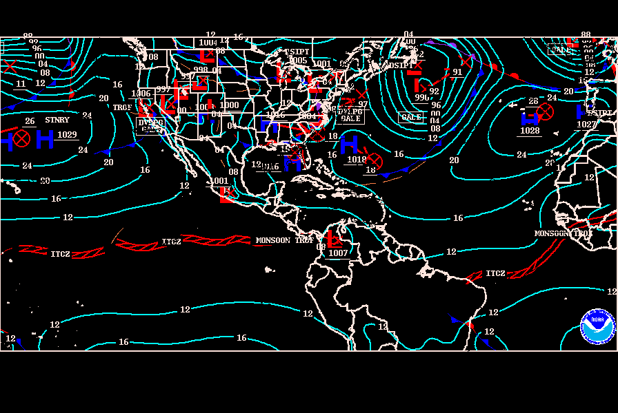
NHC daily surface map


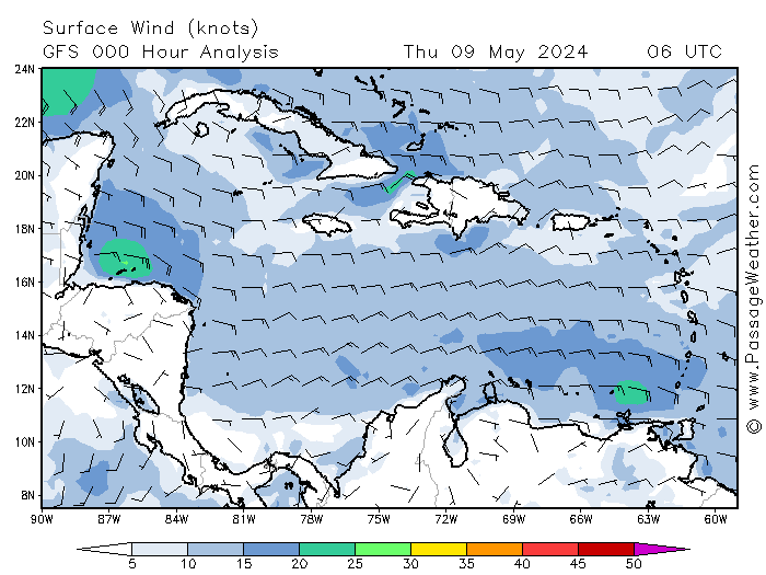
Daily Surface Winds forecast for Caribbean
Daily Wavewatch for Caribbean

Daily update of Tropical Cyclone formation in Caribbean/Atlantic

Daily update of Tropical Cyclone formation in Eastern Pacific

Saharan Air Layer (Graphic updates every 3 hours)


Visible Image of NE Caribbean with Soufriere Volcano at center.

Closeup visible Image of Soufriere Volcano.

Another closeup visible image of Soufriere Volcano


West Africa view
Central Africa View
West and Central Africa loops
http://sat24.com/en/wa
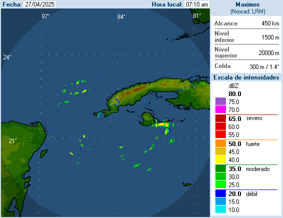
ST Maarten Radar
http://weather.an/radar/cappisxm.html
http://www.meteo.an/Radar/Img_Radar_SSS_Cappi_Loop.asp
Martinique Radar

http://www.meteo.fr/temps/domtom/antill ... SAIC2.html
Trinidad & Tobago Radar

http://www.metoffice.gov.tt/radar
Cuba Radars
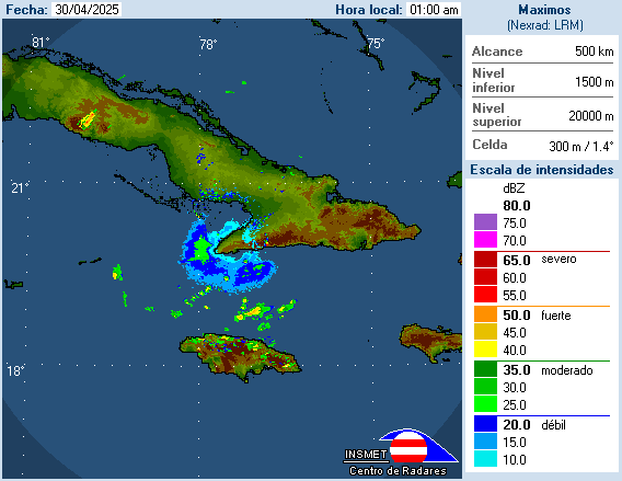
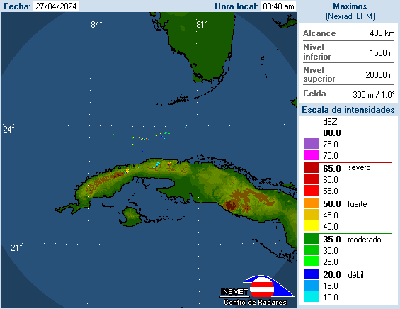
http://www.insmet.cu/asp/genesis.asp?TB ... B1=RADARES
Jamaica radar

http://www.metservice.gov.jm/radarpage1.asp
Cayman Islands radars


http://www.weather.gov.ky/portal/page?_ ... ema=PORTAL
Belize Radar


Cancun Radar

Puerto Angel Radar

Acapulco radar

More Radars in Mexico at link below
http://smn.cna.gob.mx/
Aruba/Curacao Radar

http://www.meteo.an/Img_Radar_ABC_Cappi_Still.asp
Barbados Radar

Cuba Cam

Dominican Republic cam on north coast

Belize cam
Another Belize cam
More Cams from Placencia,Belize
Cancun stream cam
http://www.nowresorts.com/jade/webcam.html
Cozumel cam
http://www.cozumelinsider.com/WEBCAM
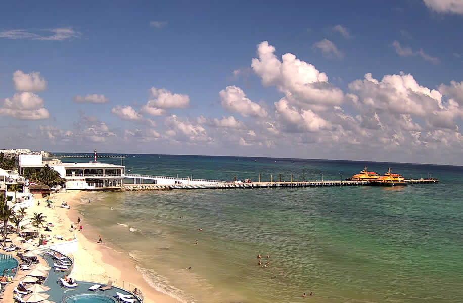
Playa del Carmen cam
http://www.wunderground.com/webcams/web ... /show.html

Cam of surf at coastline of San Juan
http://www.earthcam.com/usa/puertorico/ ... =oceanpark
Cams of beaches in different locations of north and west coast of Puerto Rico

http://www.comoestaeso.com/forums/content/
NW coast cam

NE coast in Luquillo Cam

Pine Grove in Carolina beach cam

San Juan La Ocho Cam

Ocean Park San Juan Cam

Cape Verde Cams


Vieques Weather Station
http://www.playacofi.com/weather/
San Juan,Puerto Rico Cam

http://www.instacam.com/instacamimg/WLIIT/WLIIT_S.jpg
Jamaica Cams

http://www.earthcam.com/cams/jamaica/ne ... =rickscafe
http://secretsresorts.com/stjames/webcam.asp
http://www.secretsresorts.com/wildorchid/webcam.asp
http://go-jamaica.com/webcam/
http://www.cebullaassociates.net/cam2.htm
http://www.jamaicaradio.net/power-106/
Anguilla cam
http://www.earthcam.com/cams/anguilla/meadsbay/
Anegada Cam

Antigua Cam
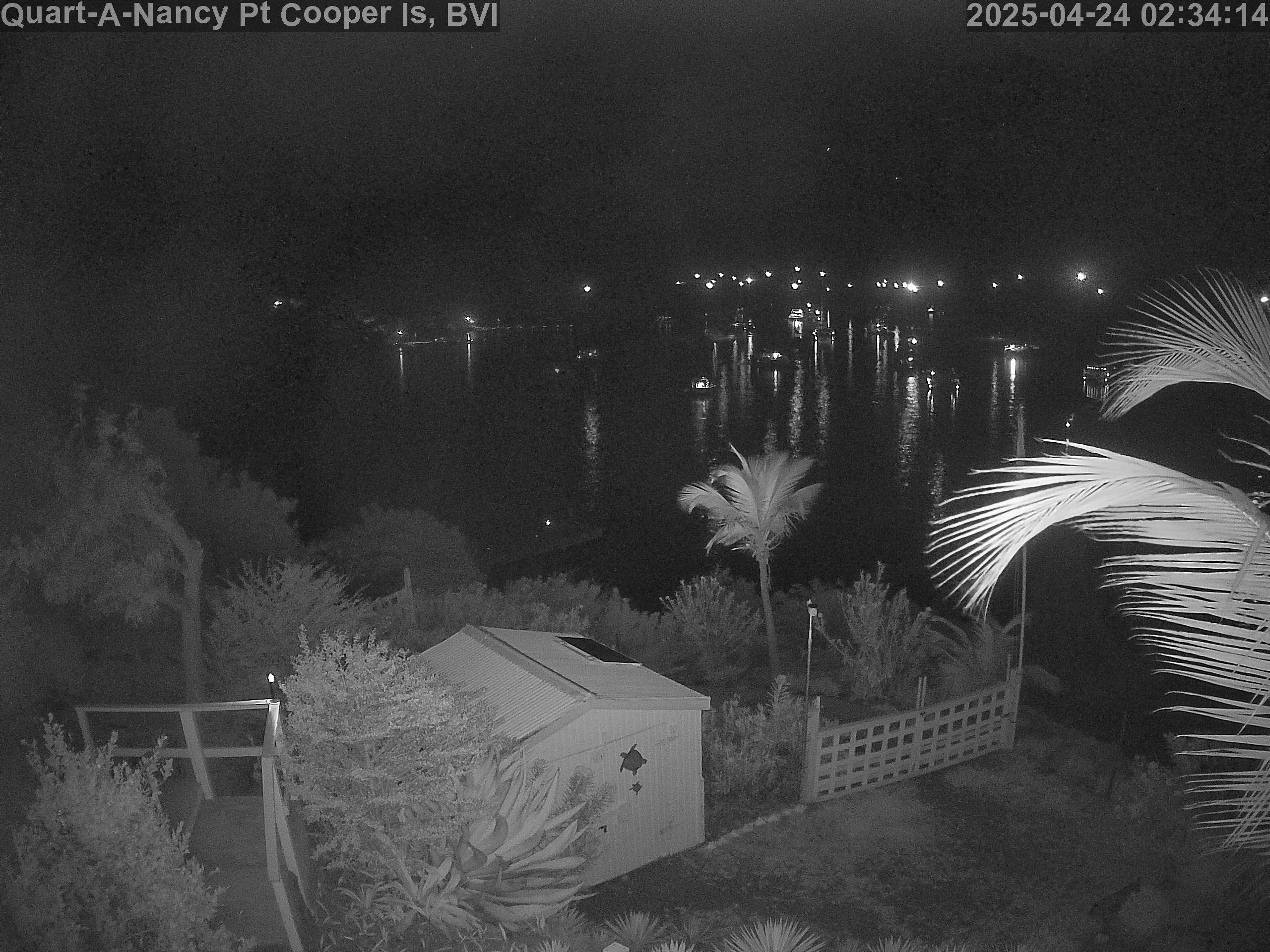
Copper Island cam
ST Maarten cams


See Cruise Ships docked on closer view
http://www.thevillasongreatbay.com/webcam.html
http://www.st-maarten-island-guide.com/ ... harborview
Cam near St Maarten Airport
http://www.sunsetsxm.com/index.php/home/webcams-update
ST Croix Harbor Cam

http://www.gotostcroix.com/live/harborcam.php
Soufriere in Guadeloupe cam

Another Guadeloupe cam
http://www.plage-guadeloupe.fr/
Soufriere Volcano in Montserrat cam
http://www.montserratvolcanoobservatory ... Itemid=104
St Thomas Charlotte Amalie harbor

More St Thomas cams


Tortola Cams

http://reservationsbvi.com/cam/roadharbour.html
Grenada cams


Barbados Weather
http://www.brohavwx.com/
Barbados cam

Another Barbados cam

ST John cam

More ST John cams


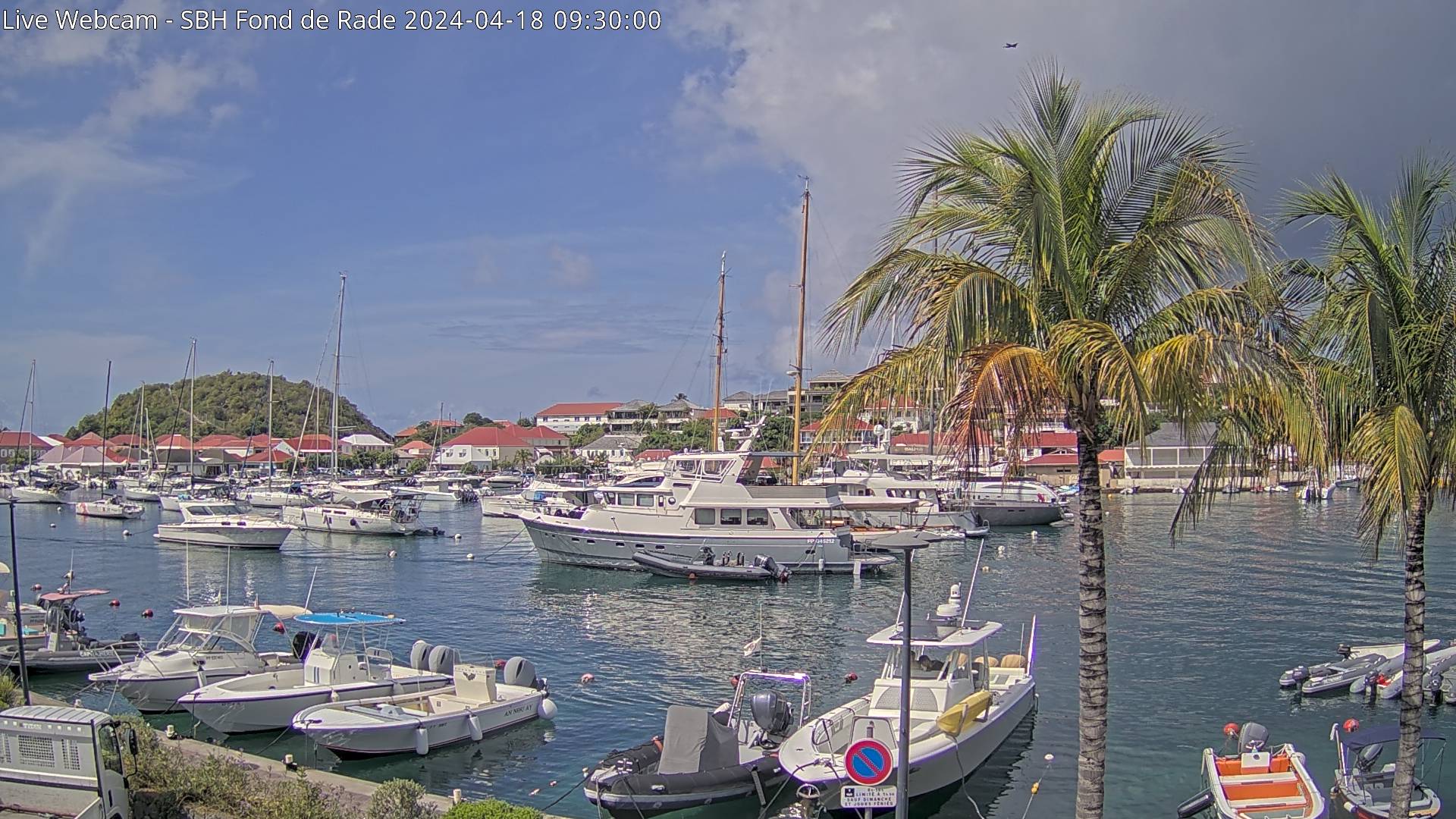
St Barts Cams


http://www.innoserv.fr/megapixelc06.html
http://www.earthcam.com/frenchwestindies/stbarts/
Panama Canal Visitors Center
San Salvador Volcano Cam

El Salvador coast Cam

Grand Cayman Cam
Another Grand Cayman Cam

http://reservationsbvi.com/web%20cams/O ... lands.html
Aruba Cam


Bonaire Cam
Curacao Cams


Virgin Gorda Cam

St John Red Phone Cam

http://www.pussers.com/redbox
Another St John Cam

Bermuda Cam

http://www.weather.bm/webcam.html
http://www.weather.bm/imagery.asp
http://www.coaps.fsu.edu/~maue/tropical/
This thread will be our tent for the whole Caribbean & Centralamerican region. Observations,forecasts,daily weather,web cams and much more are going to be part of this thread.So post away my friends.


