Mid Atlantic Drought report
Posted: Sun Jun 18, 2006 8:27 am
Taking a look at this drought affecting the Mid Atlantic reveals several interesting facts. First precipitation totals since June 1, 2005 are very close to average. Secondly the majority of our deficits for the year 2006 started on March 1st and have gotten worse ever since. Finally this short term drought we're experiencing mainly pertains to agricultural interests, those that live on a well/ground water, and also low stream levels. Reservoirs are doing fine right now, HOWEVER if this drought becomes a longer term problem, reservoirs could suffer with water shortages in the coming months.
The following are monthly stats of rainfall for 2006 depicting a big deficit since March 1, 2006. However I calculated the past twelve months from June 1, 2005 to June 17, 2006 and it shows near or slightly above average precipitation. The stats are below for Baltimore Washington International Airport, the official reporting station for Baltimore located just south of Baltimore City.
TOTAL from June 1, 2005-June 17, 2006: 45.06 inches
SURPLUS from June 1, 2005-June 17, 2006: +0.07 inches
TOTAL DEPARTURES
June 2005: 3.74 inches +0.31 inches
July 2005: 8.77 inches +4.92 inches
August 2005: 3.71 inches -0.03 inches
September 2005: 0.67 inches -3.31 inches
October 2005: 9.23 inches +6.07 inches
November 2005: 2.12 inches -1.00 inches
December 2005: 3.90 inches +0.55 inches
January 2006: 3.48 inches +0.01 inches
February 2006: 2.64 inches -0.38 inches
March 2006: 0.18 inches * -3.75 inches
April 2006: 3.28 inches +0.28 inches
May 2006: 1.60 inches -2.29 inches
June 2006: 1.74 inches -0.83 inches
* all time driest month on record: March 2006
FOR THE PAST 12 MONTHS: JUNE 1, 2005-JUNE 17, 2006: BWI MARSHALL
TOTAL 45.06 inches SURPLUS: 0.07 inches
FOR THE YEAR 2006: BWI MARSHALL
TOTAL: 12.30 inches DEFICIT: 7.44 inches
We are currently under a moderate drought from Baltimore and Washington DC points west into northern Virginia and the western Maryland Mountains. East of the bay and down towards Hampton Roads and the Tarheel State, North Carolina, drought impacts are virtually none existent due to the affects from Alberto's heavy rains. However central and northwestern Maryland and northern Virginia saw no rain from Alberto, thus our drought continues and it could worsen significantly with time.
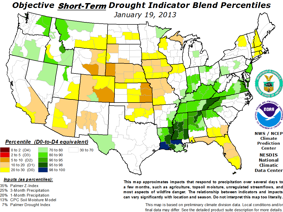
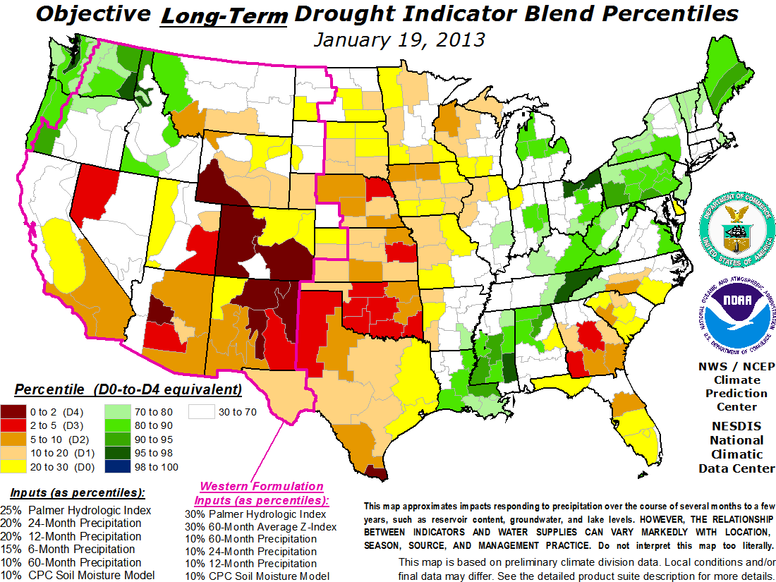
We will continue to monitor this very closely. Below I got a few links for you guys to check out regarding the drought situation here in the Mid Atlantic including a drought watch north and west of baltimore and across the eastern shore of Maryland. The entire state of Pennsylvania is also underneath a drought watch. I also got additional graphics showing the state of drought conditions across the rest of the country.
http://www.drought.unl.edu/dm/monitor.html
http://www.cpc.ncep.noaa.gov/products/p ... bfinal.gif
http://www.cpc.ncep.noaa.gov/products/p ... bfinal.gif
http://websrvr.mde.state.md.us/Water/Drought/index.asp
Happy fathers day everyone!!!
Jim
The following are monthly stats of rainfall for 2006 depicting a big deficit since March 1, 2006. However I calculated the past twelve months from June 1, 2005 to June 17, 2006 and it shows near or slightly above average precipitation. The stats are below for Baltimore Washington International Airport, the official reporting station for Baltimore located just south of Baltimore City.
TOTAL from June 1, 2005-June 17, 2006: 45.06 inches
SURPLUS from June 1, 2005-June 17, 2006: +0.07 inches
TOTAL DEPARTURES
June 2005: 3.74 inches +0.31 inches
July 2005: 8.77 inches +4.92 inches
August 2005: 3.71 inches -0.03 inches
September 2005: 0.67 inches -3.31 inches
October 2005: 9.23 inches +6.07 inches
November 2005: 2.12 inches -1.00 inches
December 2005: 3.90 inches +0.55 inches
January 2006: 3.48 inches +0.01 inches
February 2006: 2.64 inches -0.38 inches
March 2006: 0.18 inches * -3.75 inches
April 2006: 3.28 inches +0.28 inches
May 2006: 1.60 inches -2.29 inches
June 2006: 1.74 inches -0.83 inches
* all time driest month on record: March 2006
FOR THE PAST 12 MONTHS: JUNE 1, 2005-JUNE 17, 2006: BWI MARSHALL
TOTAL 45.06 inches SURPLUS: 0.07 inches
FOR THE YEAR 2006: BWI MARSHALL
TOTAL: 12.30 inches DEFICIT: 7.44 inches
We are currently under a moderate drought from Baltimore and Washington DC points west into northern Virginia and the western Maryland Mountains. East of the bay and down towards Hampton Roads and the Tarheel State, North Carolina, drought impacts are virtually none existent due to the affects from Alberto's heavy rains. However central and northwestern Maryland and northern Virginia saw no rain from Alberto, thus our drought continues and it could worsen significantly with time.
We will continue to monitor this very closely. Below I got a few links for you guys to check out regarding the drought situation here in the Mid Atlantic including a drought watch north and west of baltimore and across the eastern shore of Maryland. The entire state of Pennsylvania is also underneath a drought watch. I also got additional graphics showing the state of drought conditions across the rest of the country.
http://www.drought.unl.edu/dm/monitor.html
http://www.cpc.ncep.noaa.gov/products/p ... bfinal.gif
http://www.cpc.ncep.noaa.gov/products/p ... bfinal.gif
http://websrvr.mde.state.md.us/Water/Drought/index.asp
Happy fathers day everyone!!!
Jim