Development off Norfolk Va.
Moderator: S2k Moderators
Forum rules

The posts in this forum are NOT official forecasts and should not be used as such. They are just the opinion of the poster and may or may not be backed by sound meteorological data. They are NOT endorsed by any professional institution or STORM2K. For official information, please refer to products from the National Hurricane Center and National Weather Service.
-
Stormavoider
- Category 2

- Posts: 671
- Joined: Sat Jul 01, 2006 4:37 pm
- Location: Spring Hill Fl.
-
Stormavoider
- Category 2
- Posts: 671
- Joined: Sat Jul 01, 2006 4:37 pm
- Location: Spring Hill Fl.
-
Aquawind

- Category 5

- Posts: 6714
- Age: 62
- Joined: Mon Jun 16, 2003 10:41 pm
- Location: Salisbury, NC
- Contact:
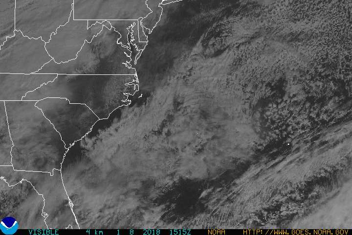
It's associated with the frontal boundry that is fizzling off the coast. Given a few days something tropical could develop.
12 hours http://www.rap.ucar.edu/weather/progs/index.php?prog=12
48 hours - http://www.rap.ucar.edu/weather/progs/index.php?prog=48
12 hours http://www.rap.ucar.edu/weather/progs/index.php?prog=12
48 hours - http://www.rap.ucar.edu/weather/progs/index.php?prog=48
0 likes


-
george_r_1961

- S2K Supporter

- Posts: 3171
- Age: 64
- Joined: Sat Oct 12, 2002 9:14 pm
- Location: Carbondale, Pennsylvania
-
Stormavoider
- Category 2
- Posts: 671
- Joined: Sat Jul 01, 2006 4:37 pm
- Location: Spring Hill Fl.
-
WindRunner

- Category 5
- Posts: 5806
- Age: 35
- Joined: Fri Jul 29, 2005 8:07 pm
- Location: Warrenton, VA, but Albany, NY for school
- Contact:

Decent convection on the west side as well, though a poorly defined LLC.
06Z GFS develops it into a shallow warm-core system in about 48 hours.
http://moe.met.fsu.edu/cyclonephase/gfs ... 06/30.html
However, neither the CMC, MM5, UKMET, NOGAPS, nor NAM turns this into a warm-core system. TC development unlikely.
0 likes
-
storms in NC

- S2K Supporter
- Posts: 2338
- Joined: Thu Jul 28, 2005 2:58 pm
- Location: Wallace,NC 40 miles NE of Wilm
- Contact:


-
Stormavoider
- Category 2
- Posts: 671
- Joined: Sat Jul 01, 2006 4:37 pm
- Location: Spring Hill Fl.

I think this is 95l now - look for the thread
http://www.storm2k.org/phpbb2/viewtopic.php?t=89858
http://www.storm2k.org/phpbb2/viewtopic.php?t=89858
0 likes