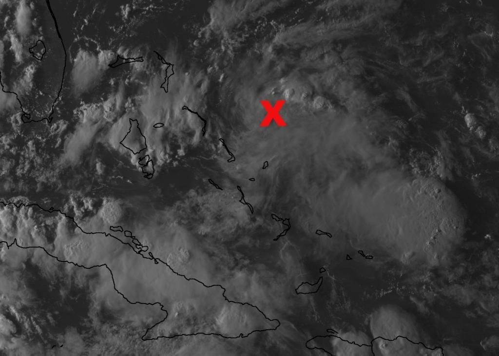
Sanibel wrote:I'm seeing it up by NHC's mark. Could be a homebrewer coming together here. Good curvature up there.
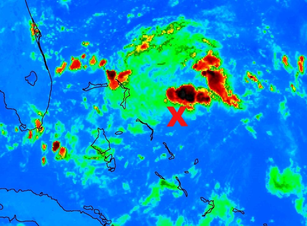
Initially, there was mid level vorticity where NHC placed their X earlier east of the Central Bahamas. But, convection has increased considerably down near the Turks and Caicos during the afternoon.
One thing to take note is the Upper Level Low. It appears to be sliding west-southwest over the northern coast of Cuba currently. It still is an influence of course, but the farther away the ULL gets and weakens, this will help upper difluence to get going over our disturbance and aid in possible surface development.
This system has the potential to be a tricky one. Shear is low and conditions are expected to remain fair to marginable for possible development in the next few days. The transistion from cold core systems does take time, but this could be one of these situations where over very warm ssts and a good environment in the upper levels something here can spin up into a decent cyclone.